目的地
加拿大(北美)Canada (North America)
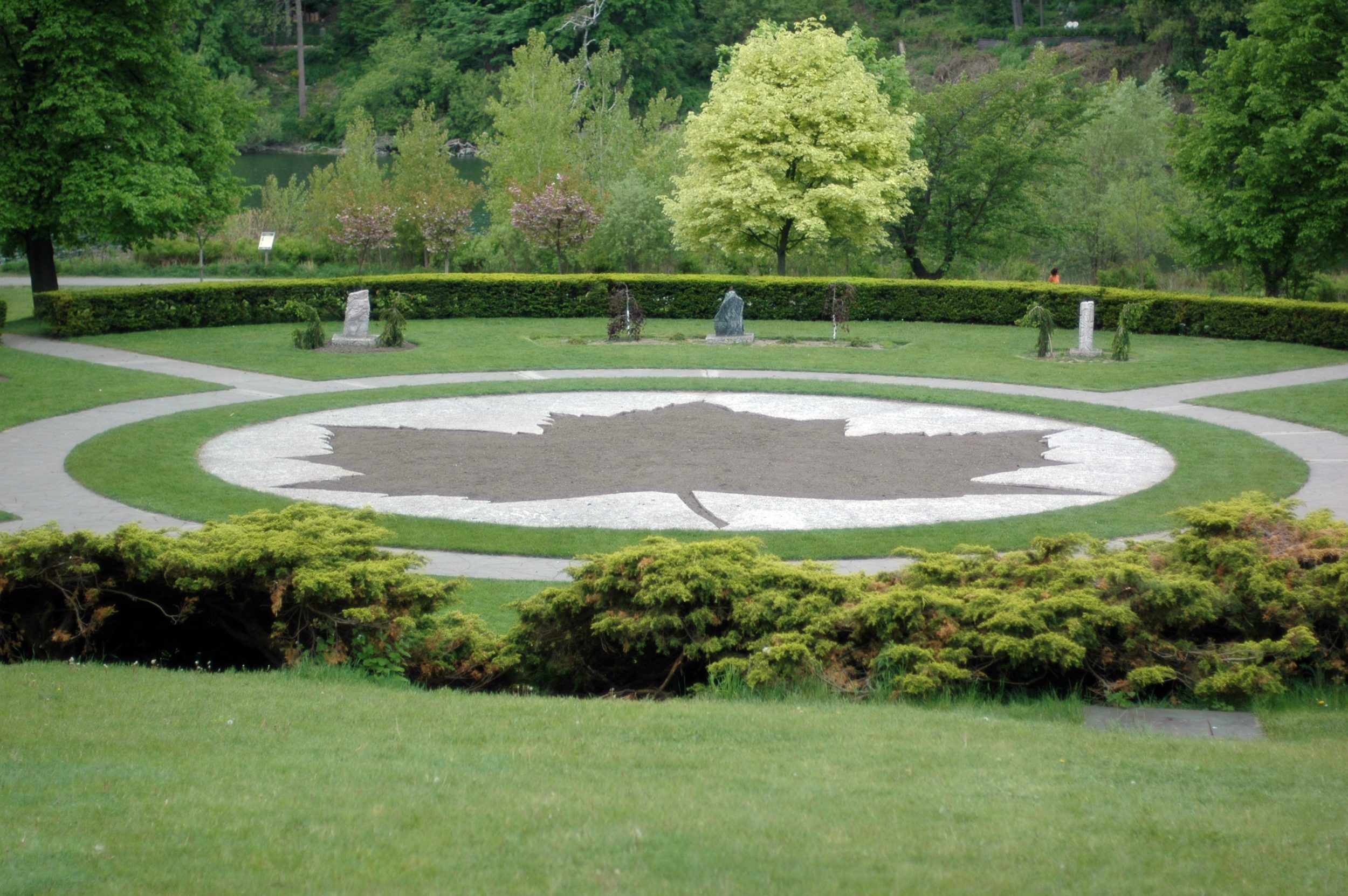
Canada’s land area is 9,970,610 km2 which is the second largest country in the world. It is a federation which consists of ten provinces and three territories. The provinces are Alberta, British Columbia, Manitoba, New Brunswick, Newfoundland and Labrador, Nova Scotia, Ontario, Prince Edward Island, Quebec, and Saskatchewan. The three territories are Northwest Territories, Nunavut, and Yukon.Its geographical extension has occupied over six time zones. Ottawa is the Capital of Canada which is located in Ontario. Canada has 10 provinces and 3 territories. The National emblem is the maple leaf which is found in the middle of the National Flag. The population in Canada in April 2007 is estimated at 32,852,800. The largest city in Canada is Toronto followed by Montreal, Vancouver, Ottawa-Hull, and Edmonton. About 31 percent of the population live in the largest cities of Toronto, Montreal and Vancouver. Canada is a multi-national and multi-cultural country with different ethnic groups including British, French, German, Italian, Ukrainian, Dutch, Polish, Chinese, South Asian, Jewish, West Indian, Portuguese and Scandinavian.
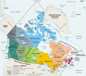
Map showing the boundary of Canada in North America (Source: www.wikipedia.com)
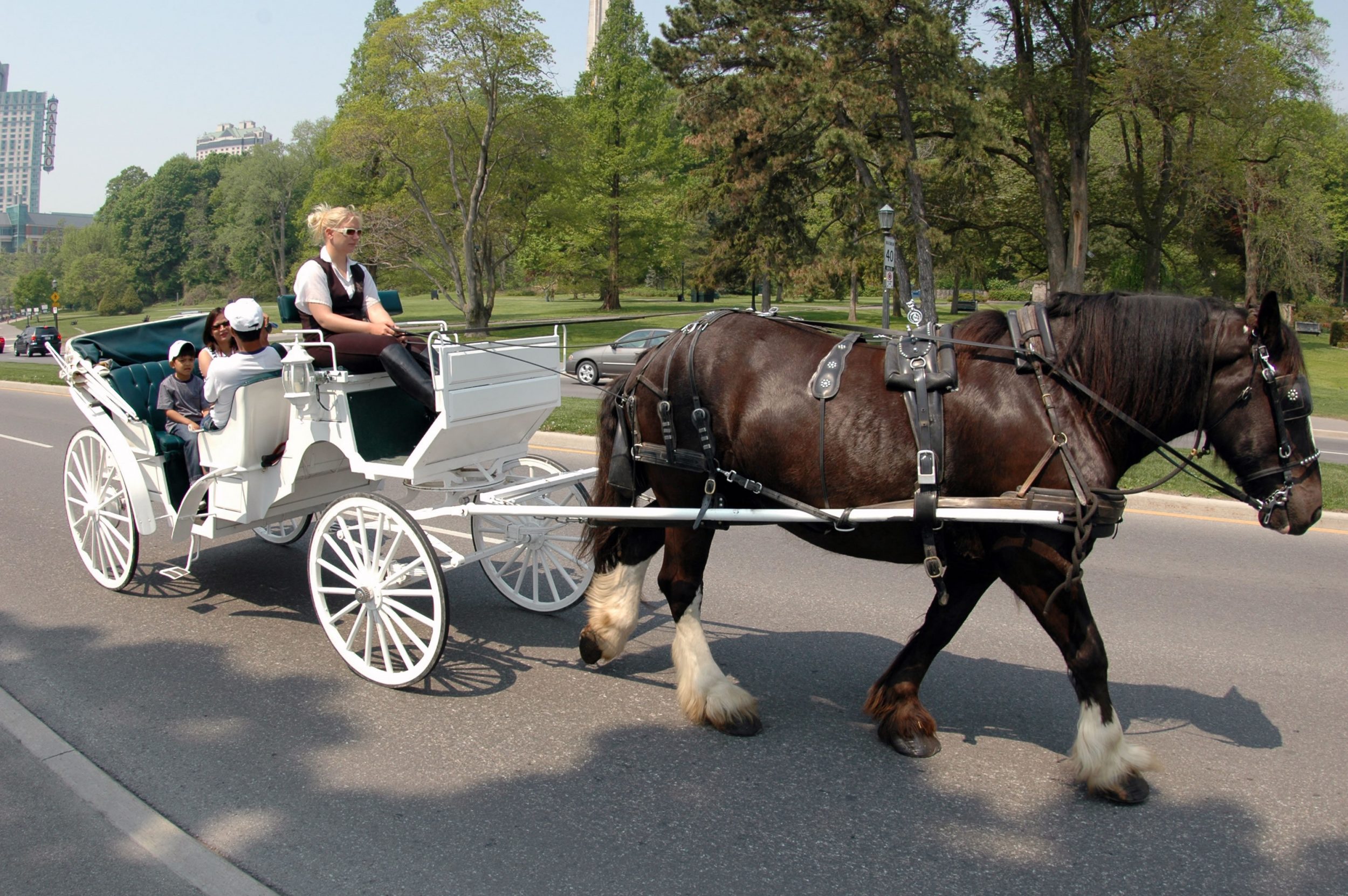
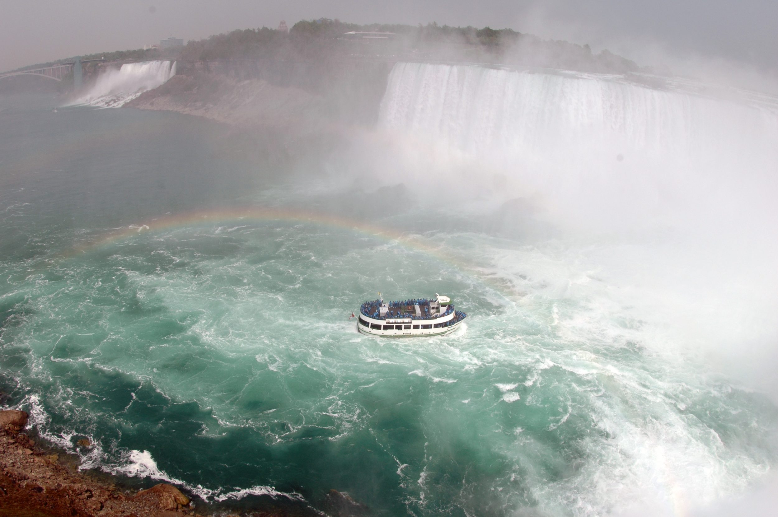
Ontario is Canada’s second largest province, covering more than one million square kilometers. The province is bounded by Quebec on the east, Manitoba on the west, Hudson Bay and James Bay on the north, and the St. Lawrence River and the Great Lakes on the south. Ontario’s landforms are the products of continental uplift and erosion, the movement of glaciers, and the continuing actions of wind, waves, water and gravity. Niagara Falls is a world-famous tourist destination, attracting 18 million visitors a year.
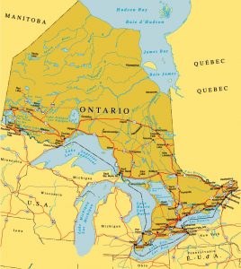
Map showing the Ontario province (Source: http://www.ontariooutdoor.com/en/map_ontario.html)
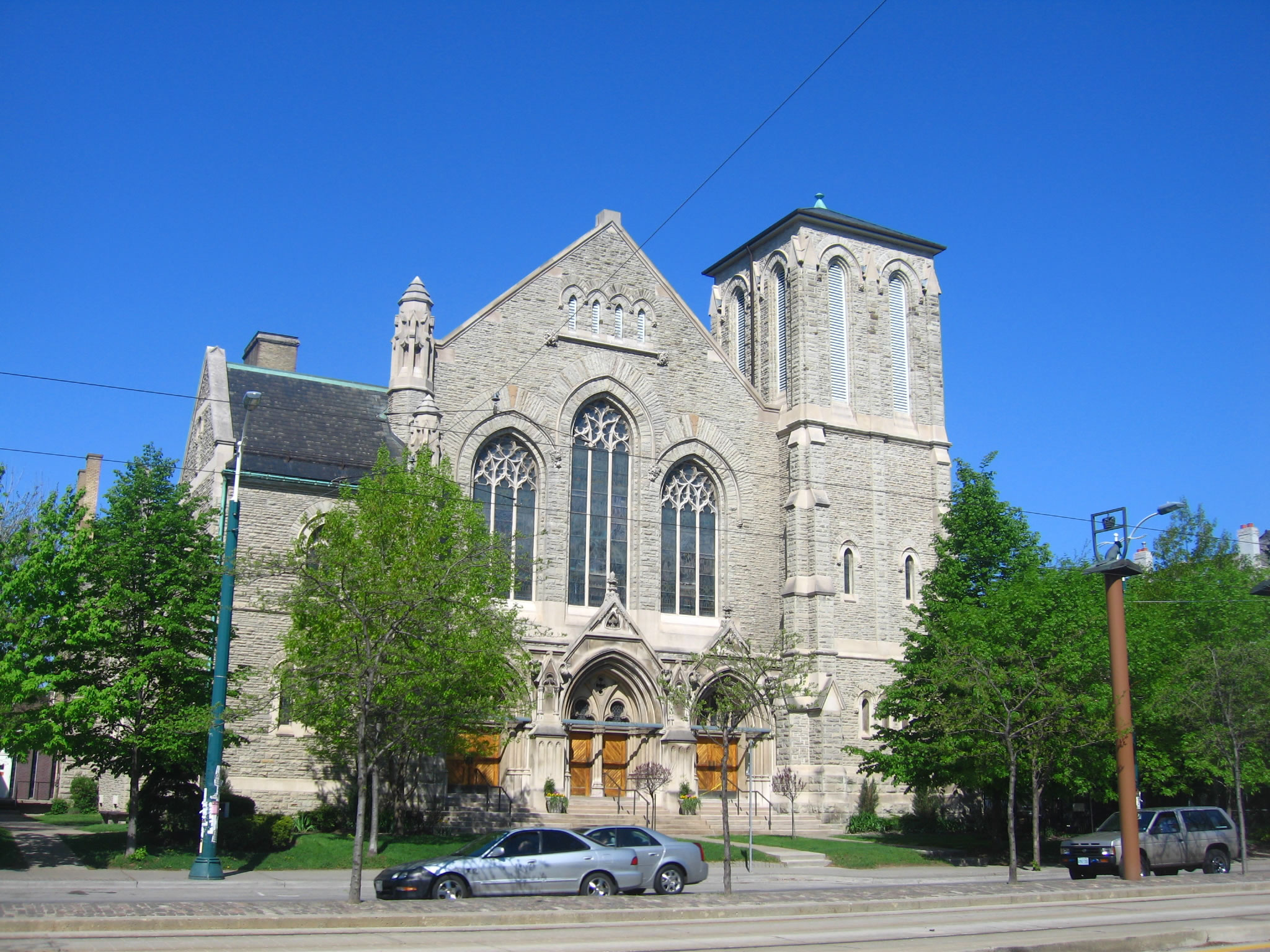
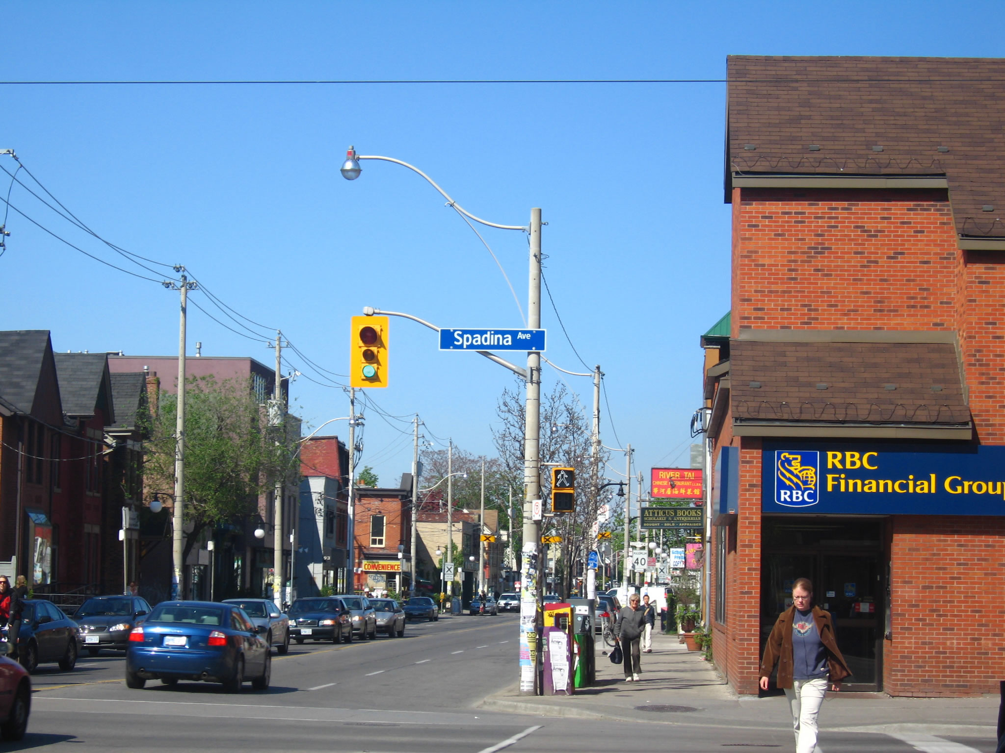
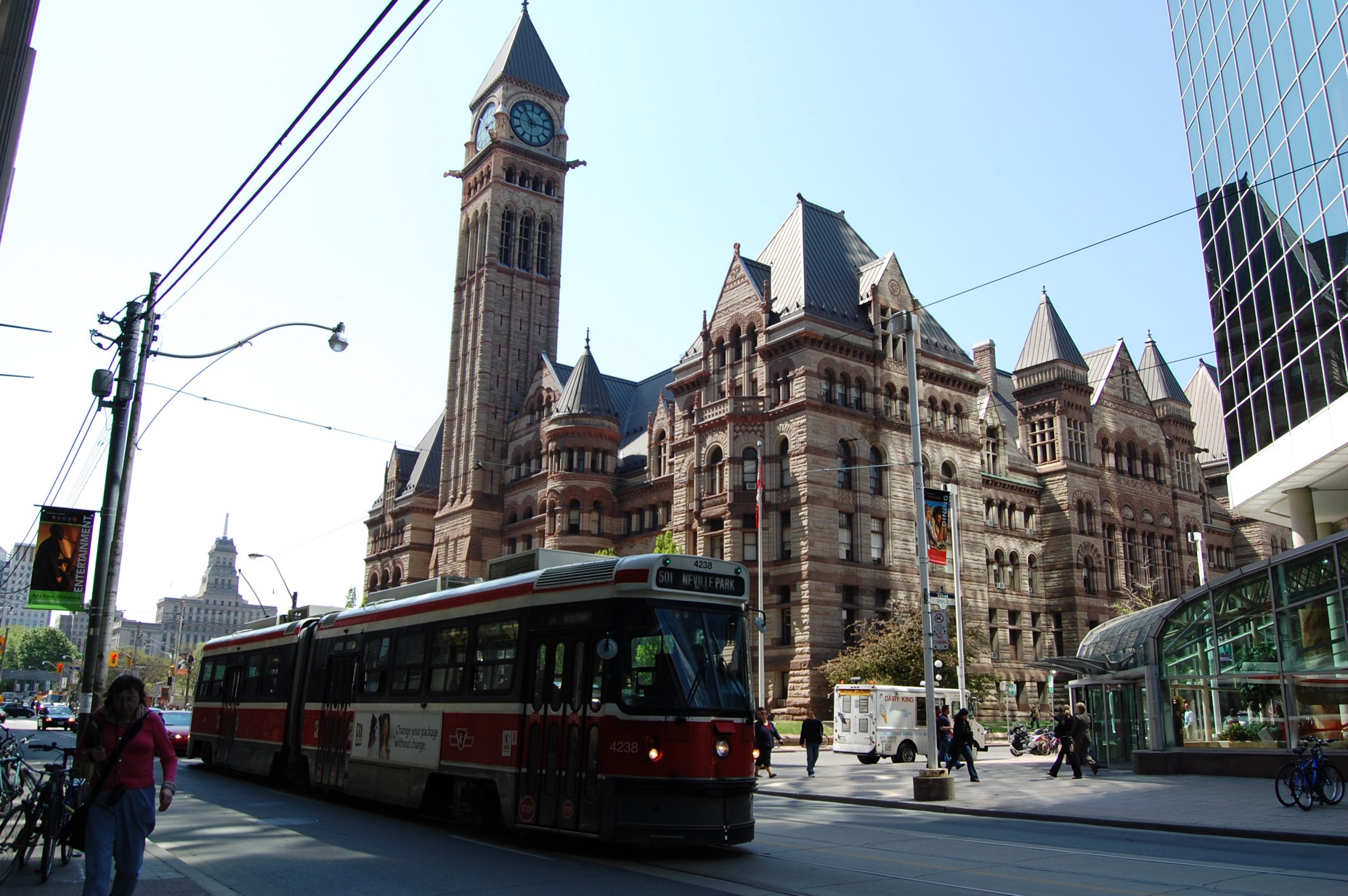
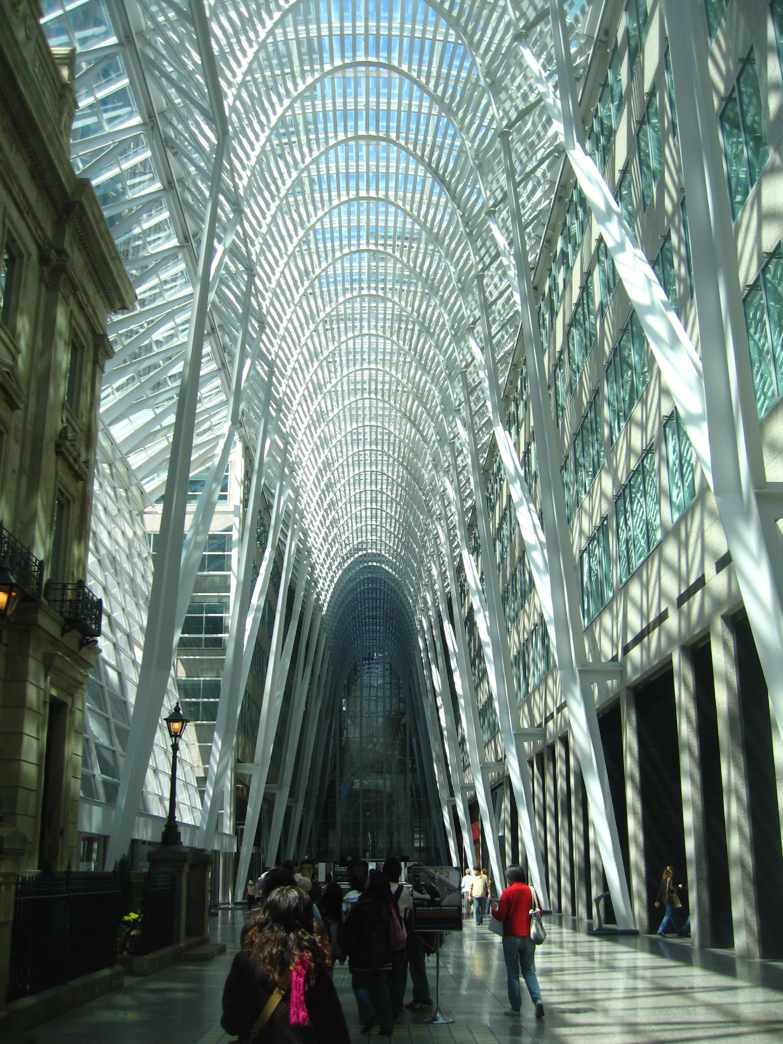
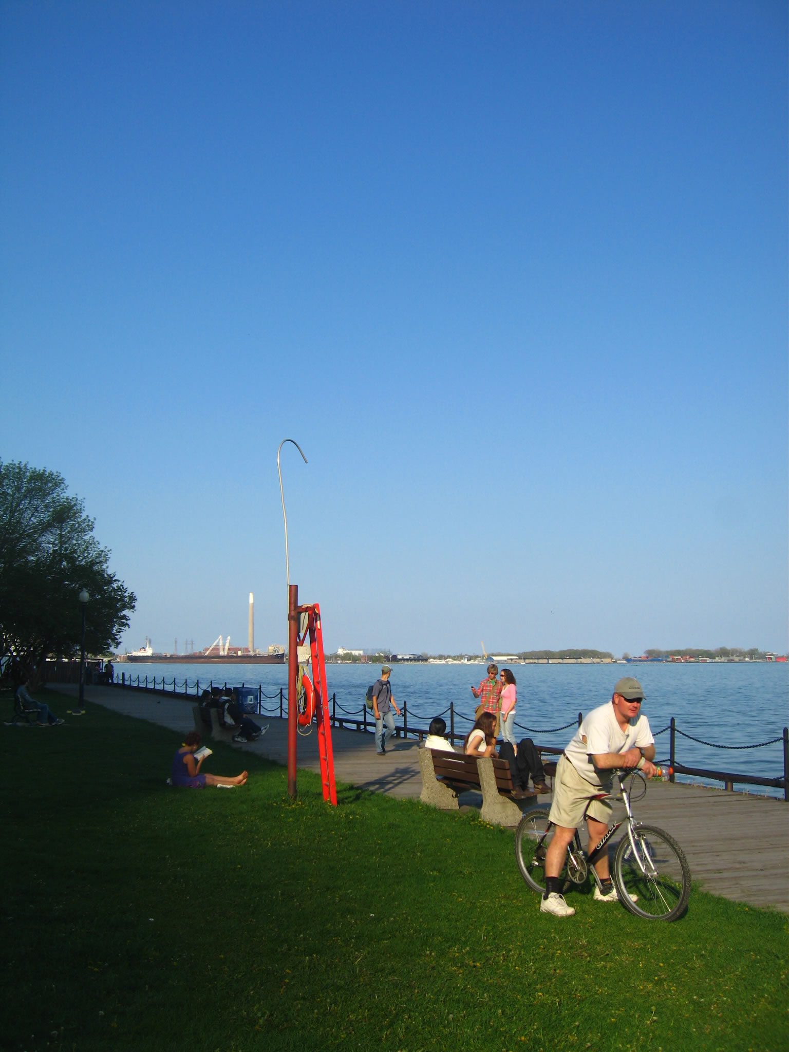
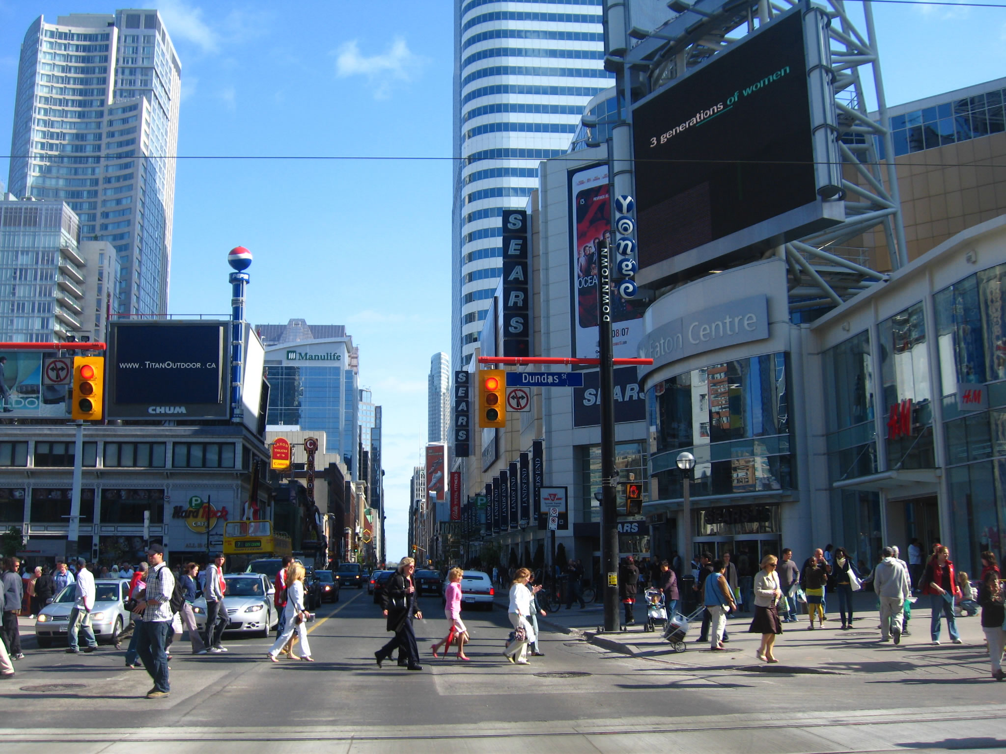
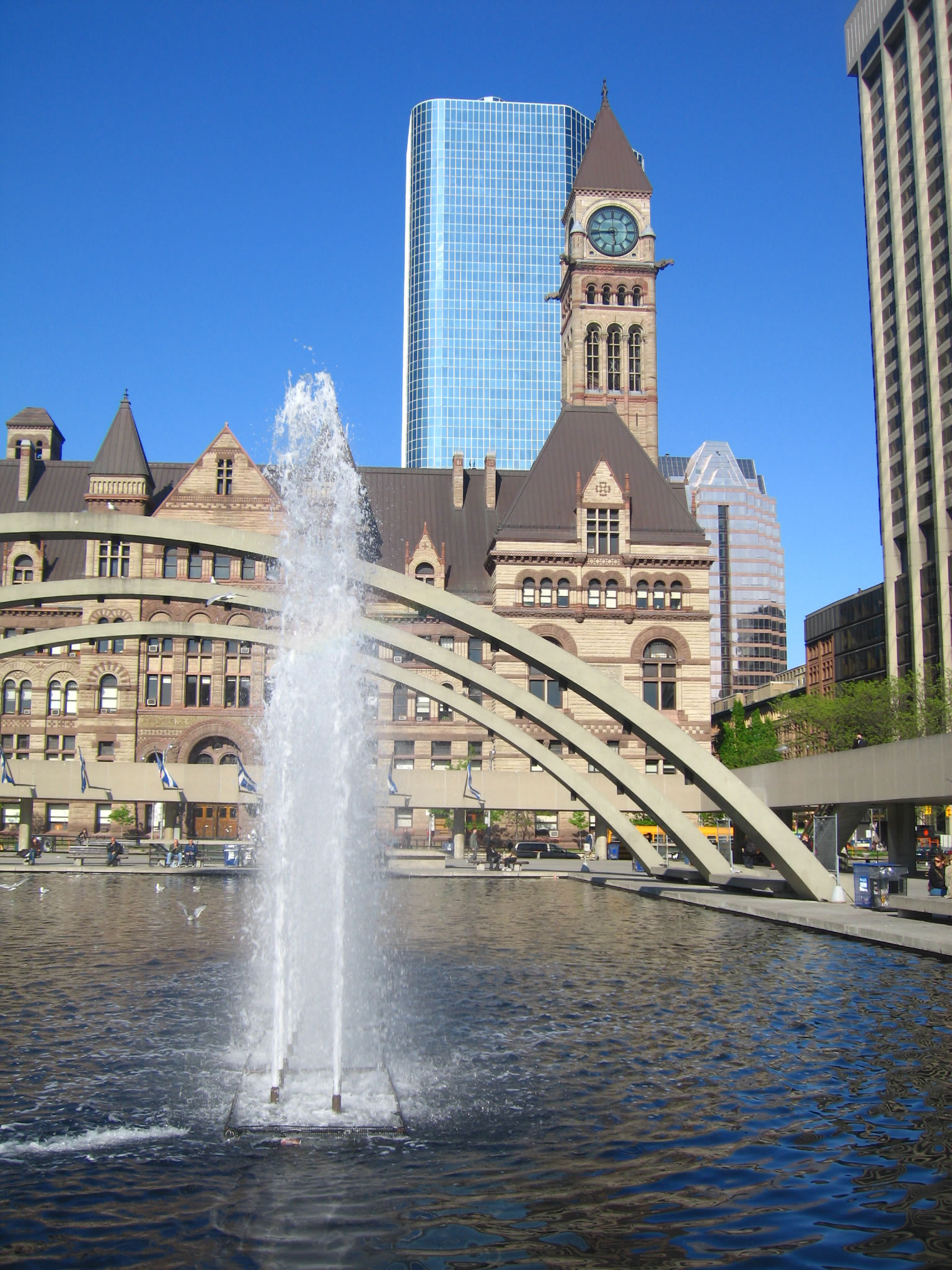
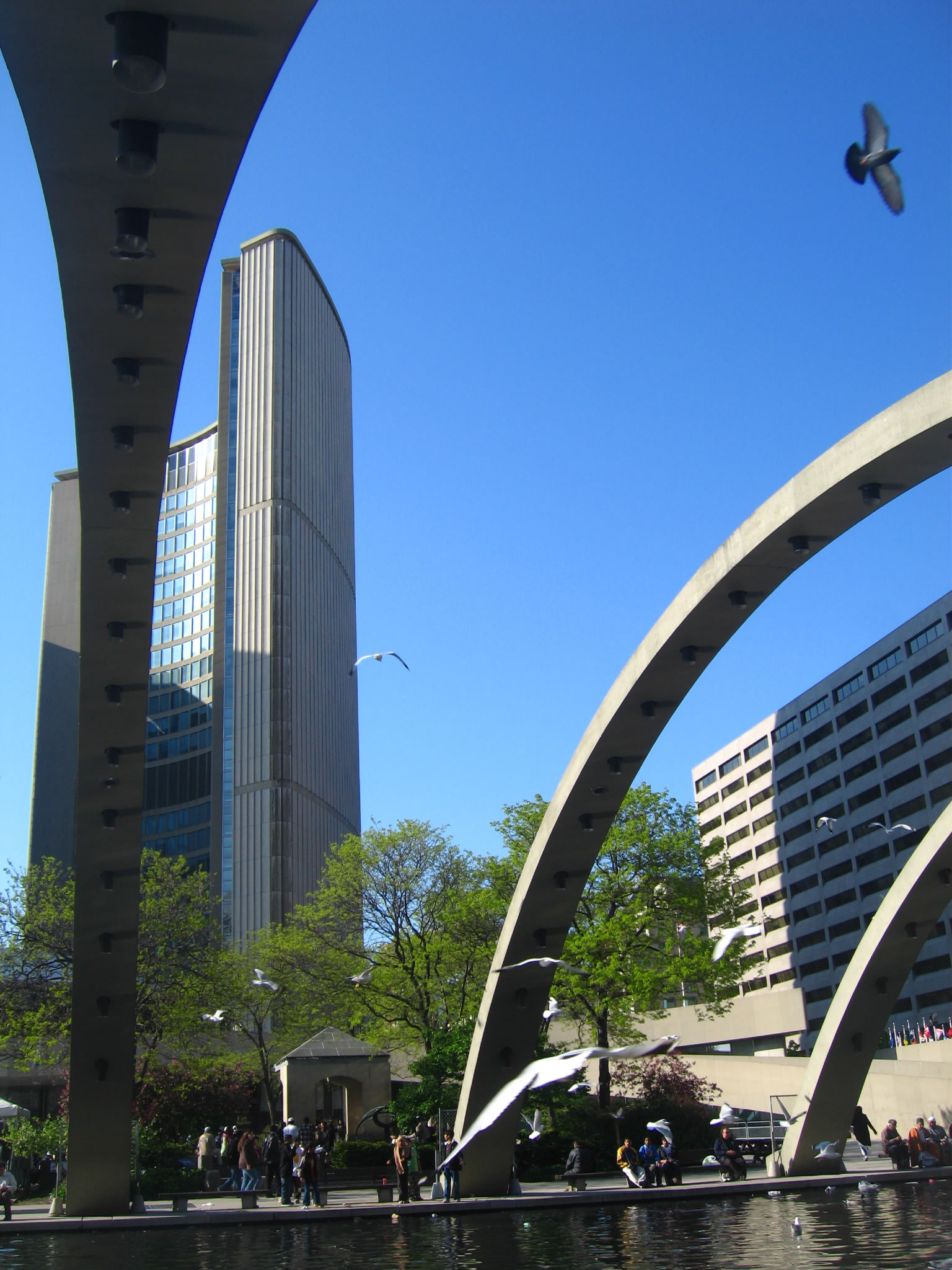
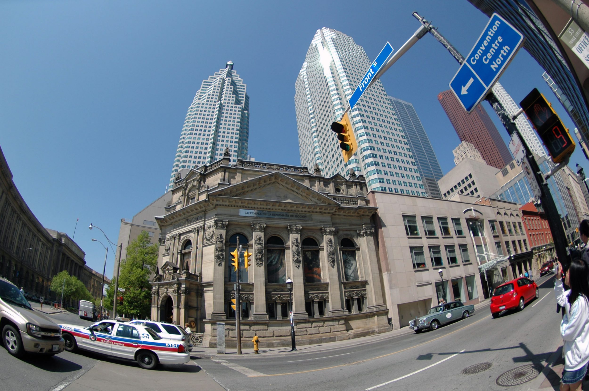
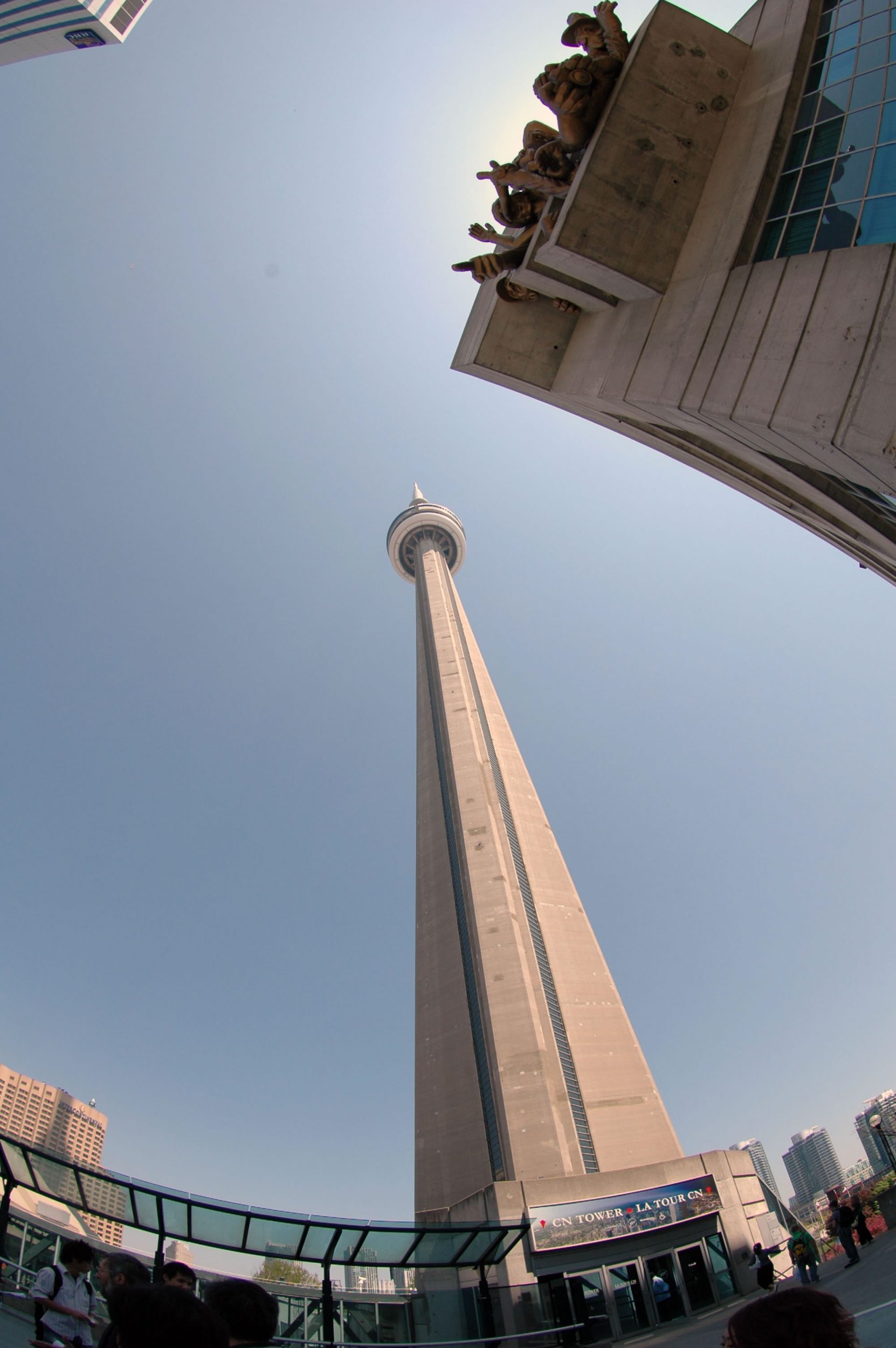
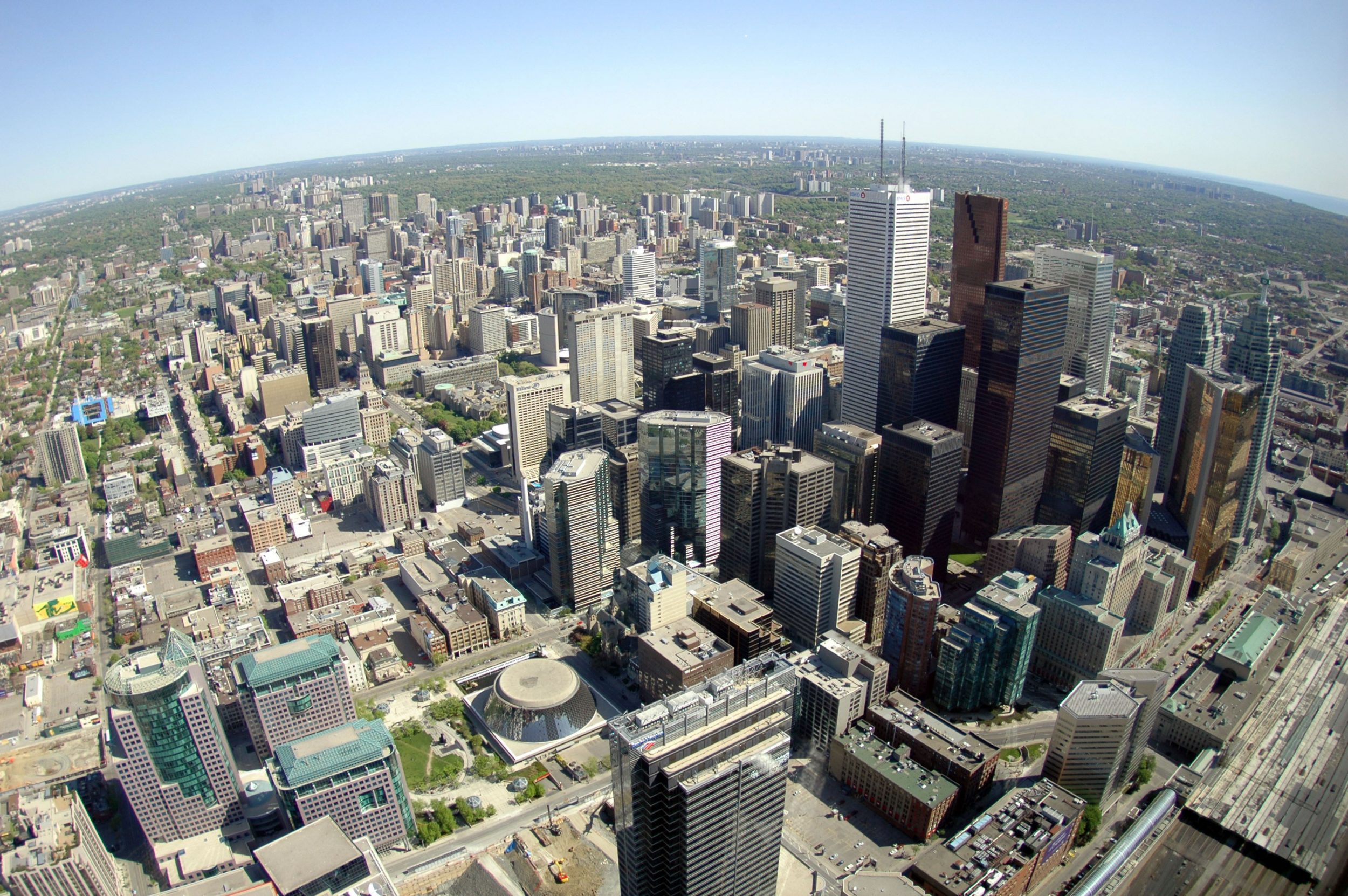
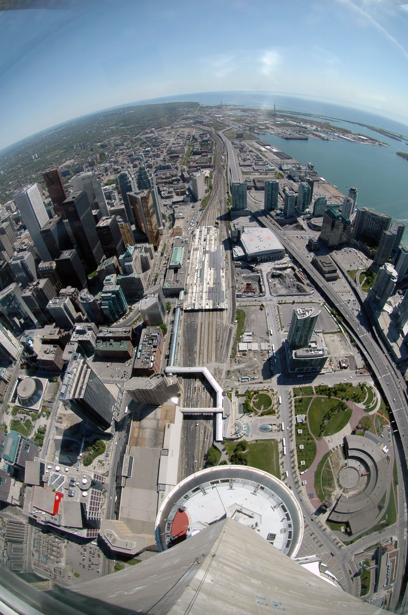
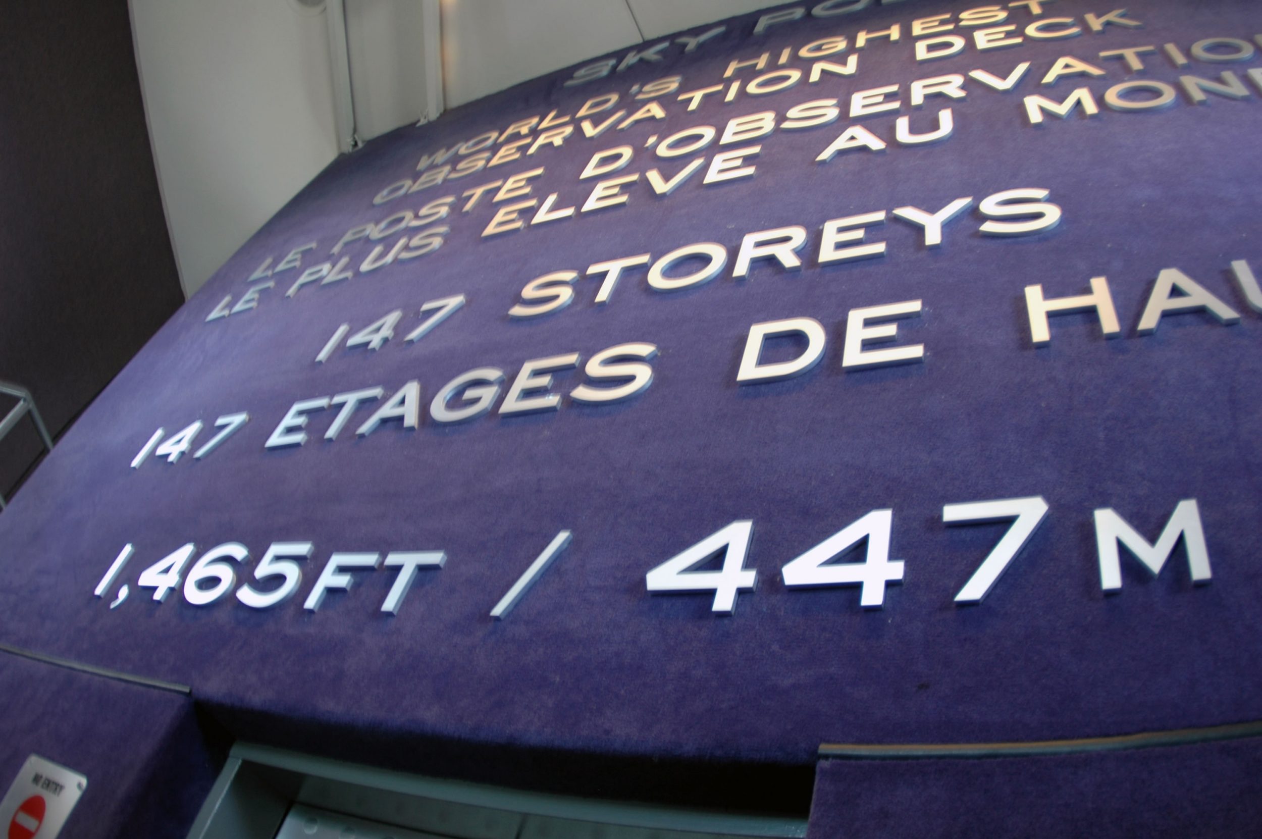
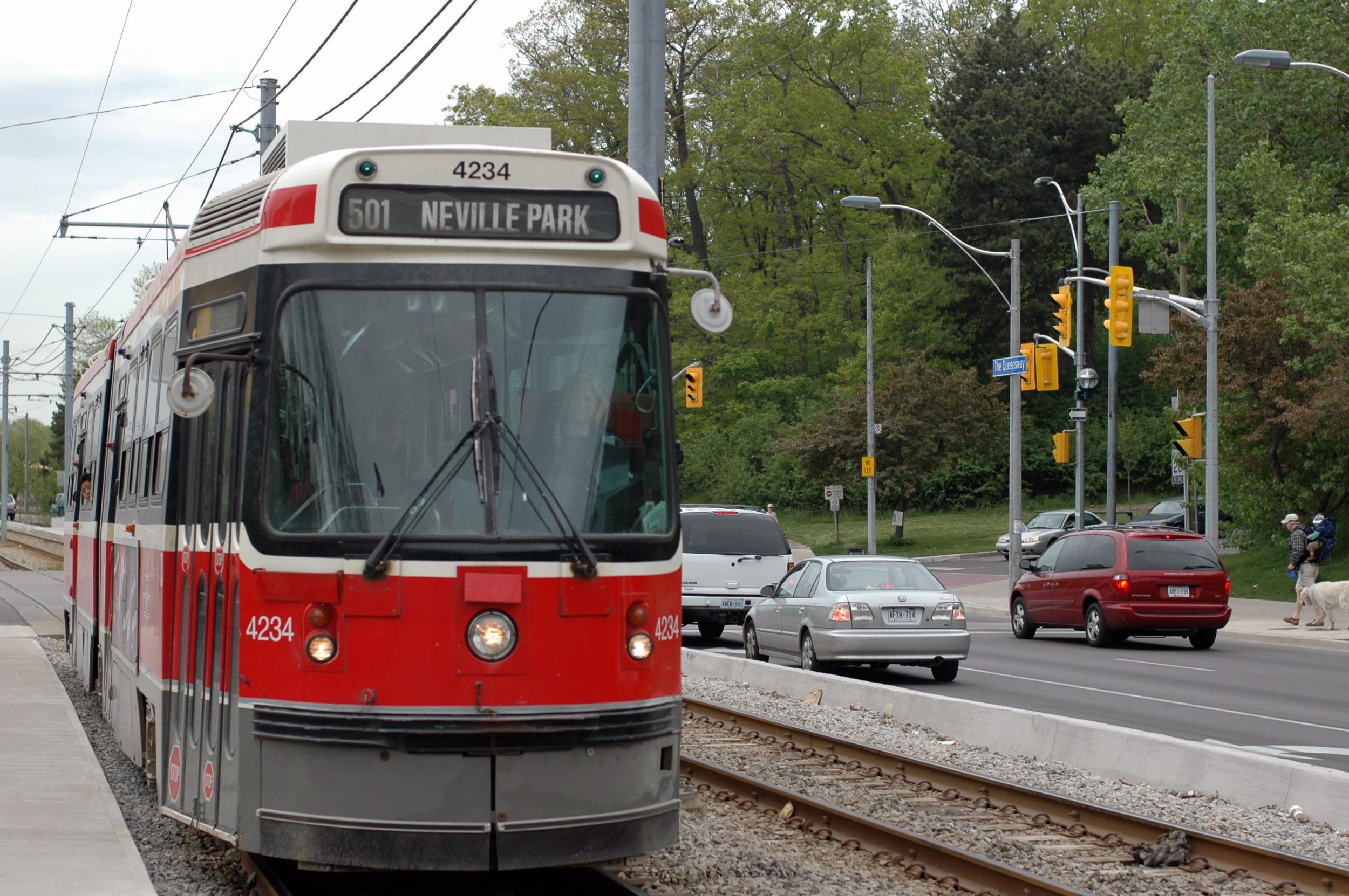
Toronto – the name derived from the Huron word for “fishing weir” – is on the northwest shore of Lake Ontario. Toronto covers 641 km2. and stretches 43 km from east to west and 21 km from north to south at its longest points. Toronto is Canada’s largest city, the heart of the nation’s commercial, financial, industrial, and cultural life, and is one of the world’s most liveable urban centres. Toronto is also the home of the world’s tallest building (CN Tower at 553.33 m) as well as the world’s longest street starts at the City’s lakeshore (Yonge Street at 1,896 km).
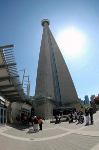
The CN Tour in Toronto, Canada
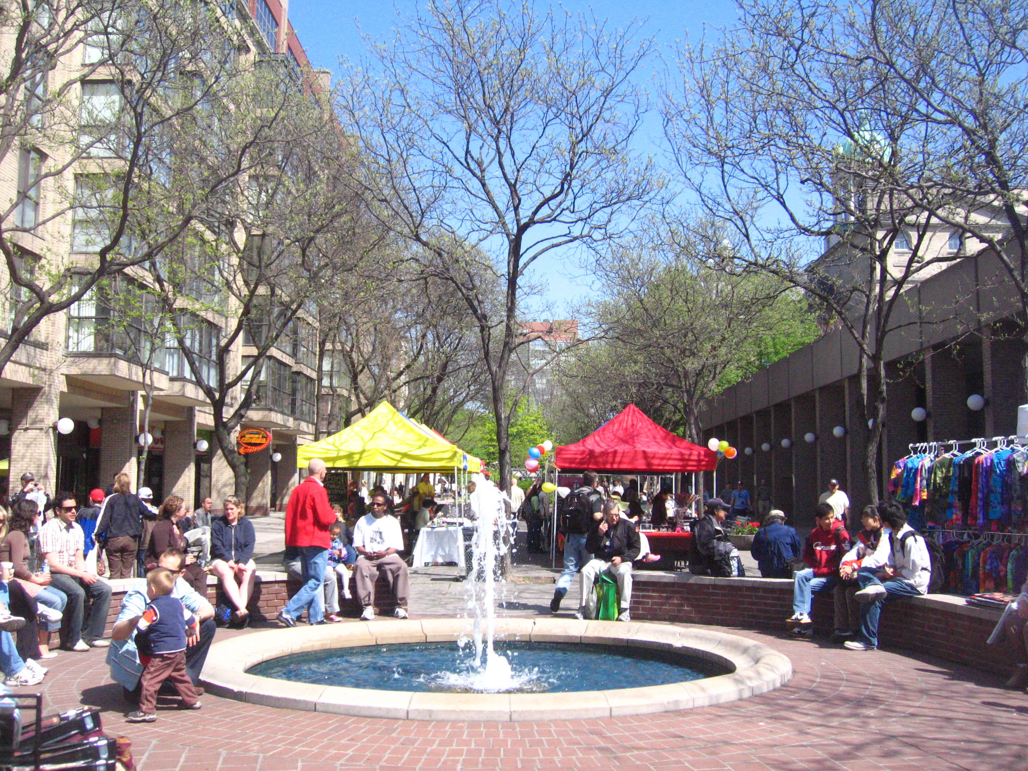
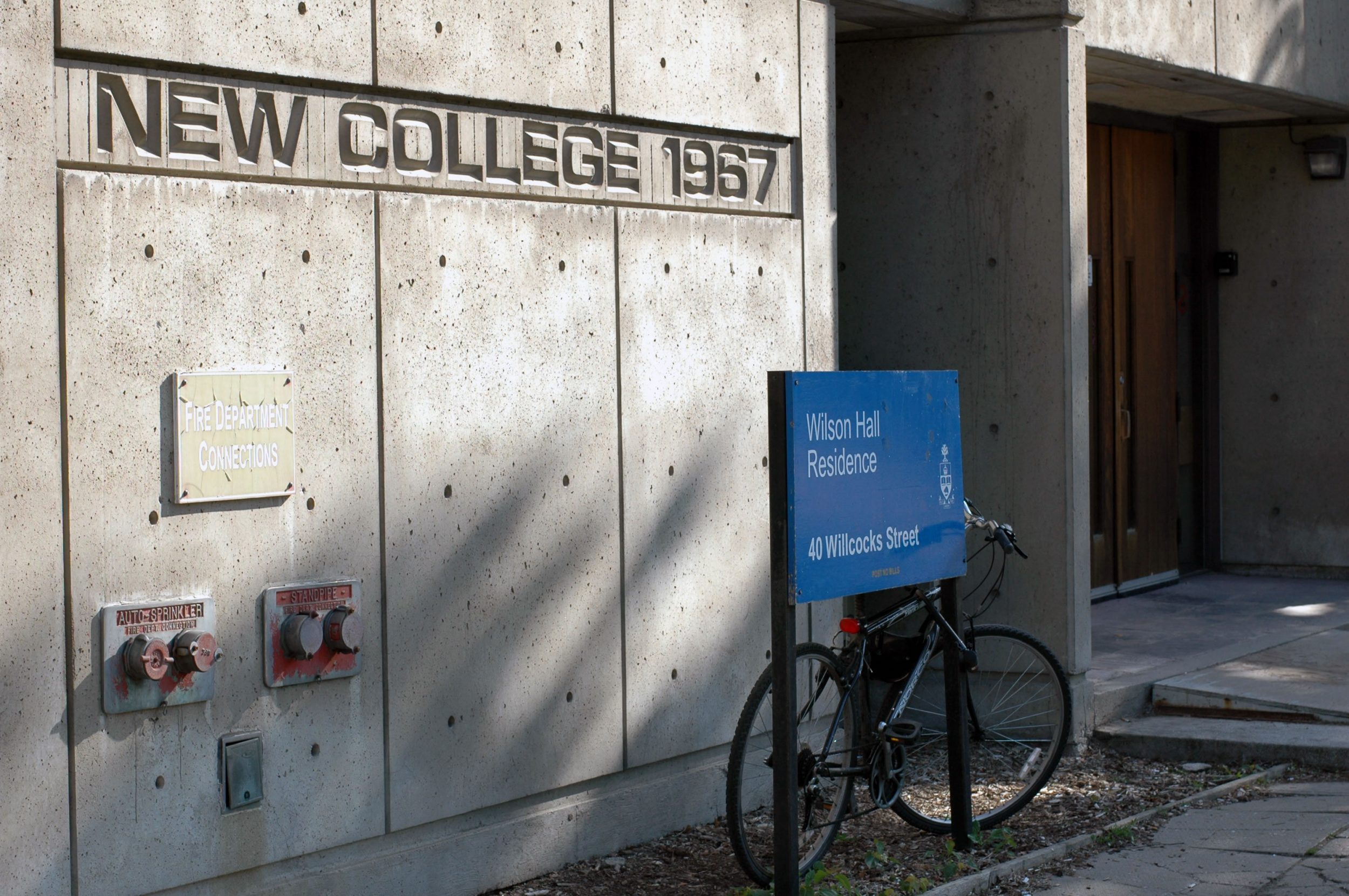
Kitchener-Waterloo is located in the Region of Waterloo, in the heart of southwestern Ontario. Kitchener was originally known as Berlin (reflecting its Mennonite and German origins) but was renamed for Field Marshall Lord Horatio Kitchener in 1916 at the height of World War I. Waterloo was named after a place just south of Brussels, Belgium, where the Allied armies, under the British and Prussian commanders, defeated Napoleon and the French army in 1815. The two cities which are always named as Twin Cities (KW), have a population of 277,000. The area is referred to as Canada’s Technology Triangle, because it is defined by an exceptional business base, a diversity of industry, world-class educational institutions and its history of technological innovation.
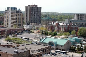
Overview of the Kitchener-Waterloo Twin Cities
行程安排
Toronto and Waterloo, Southern Ontario, Canada, North America
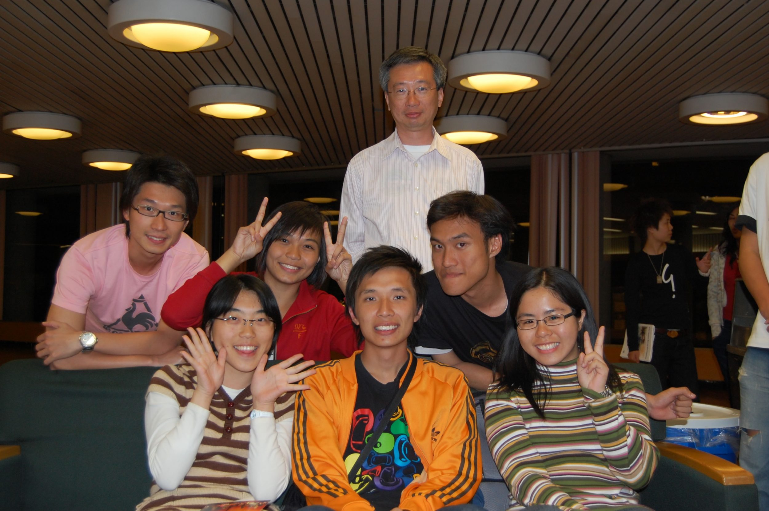
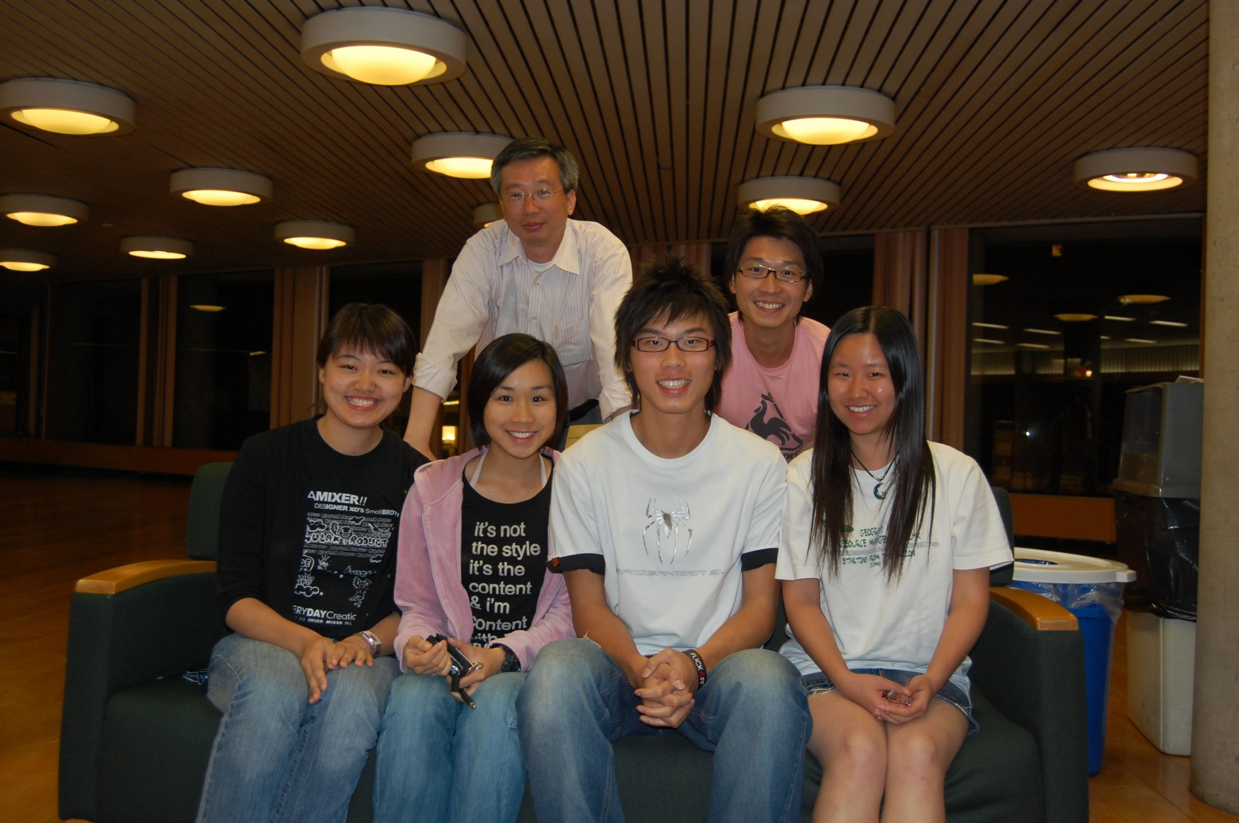
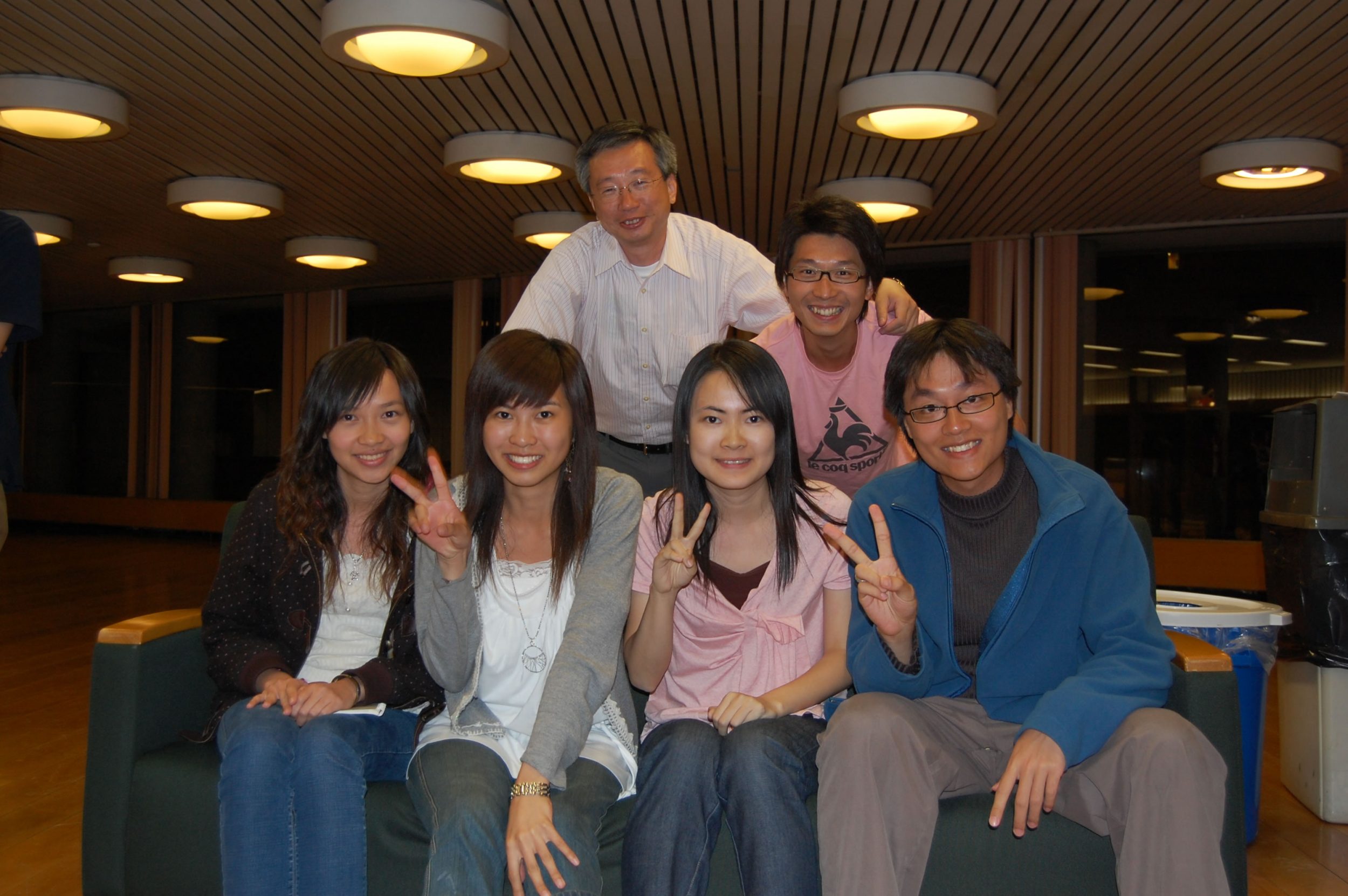
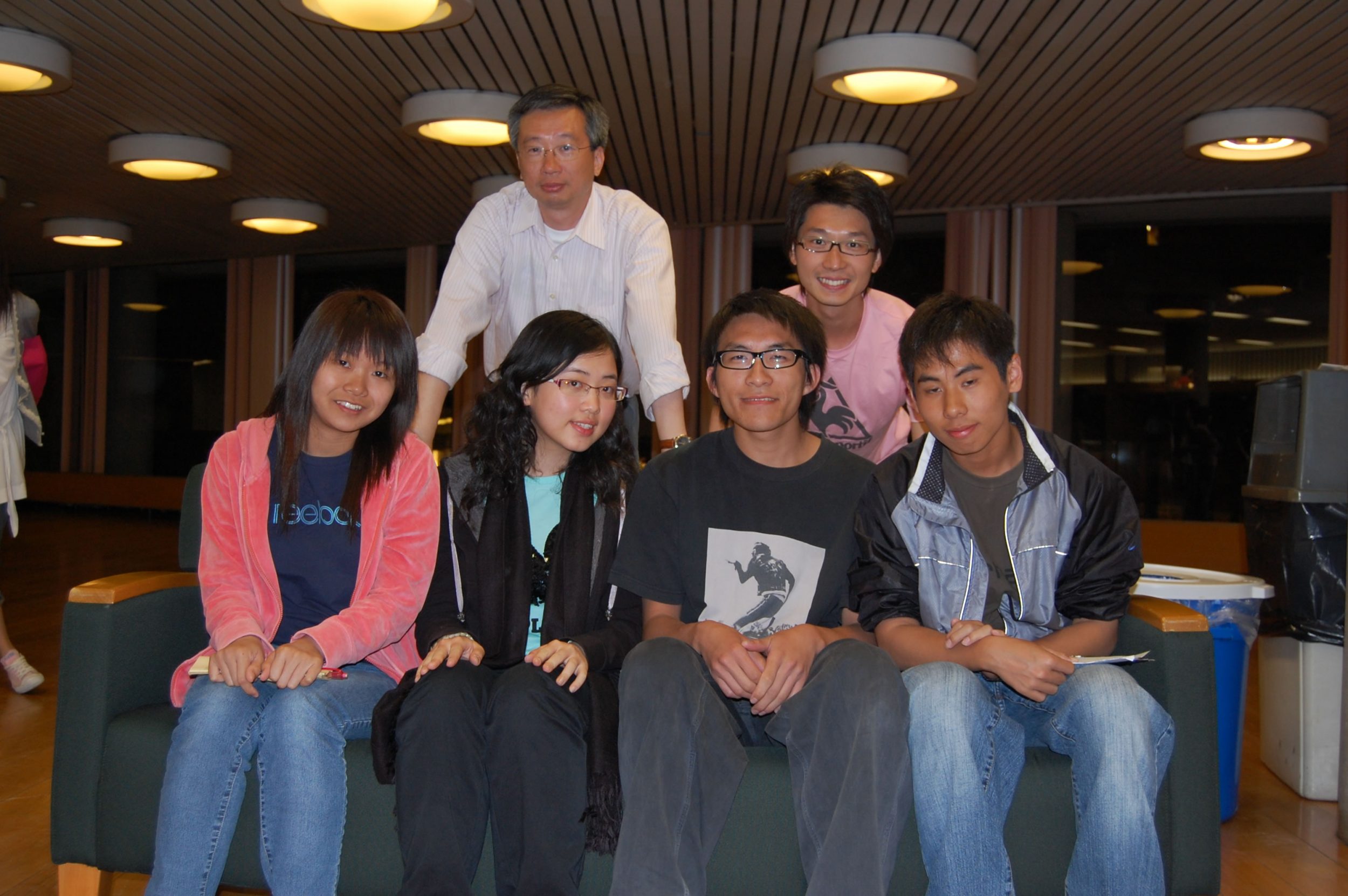
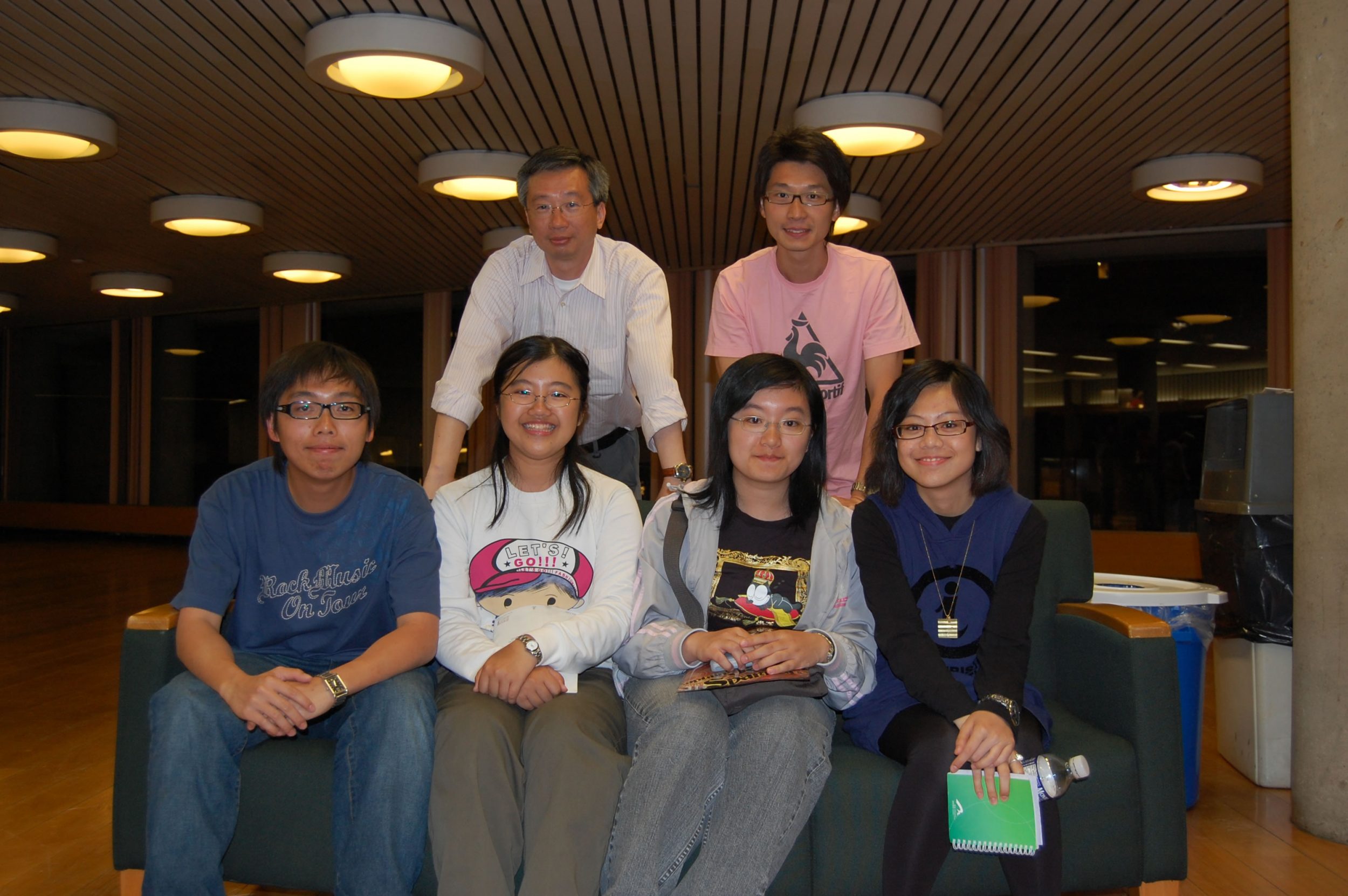
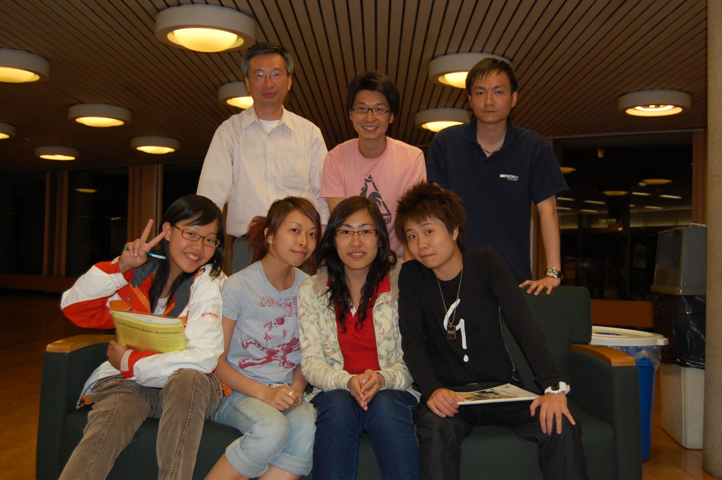
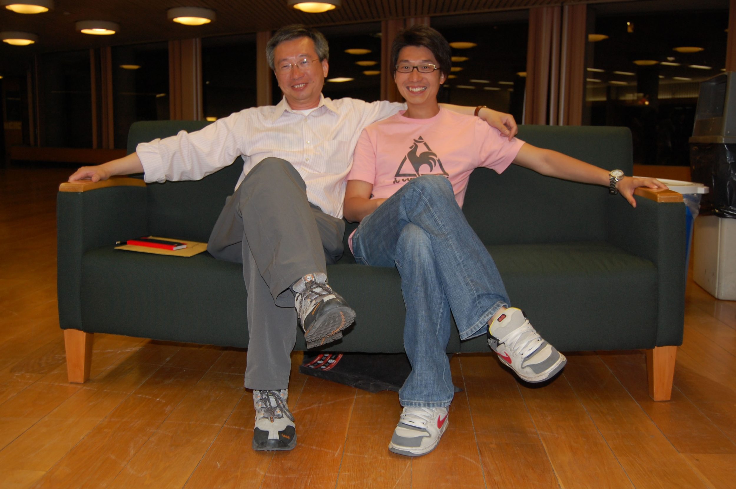
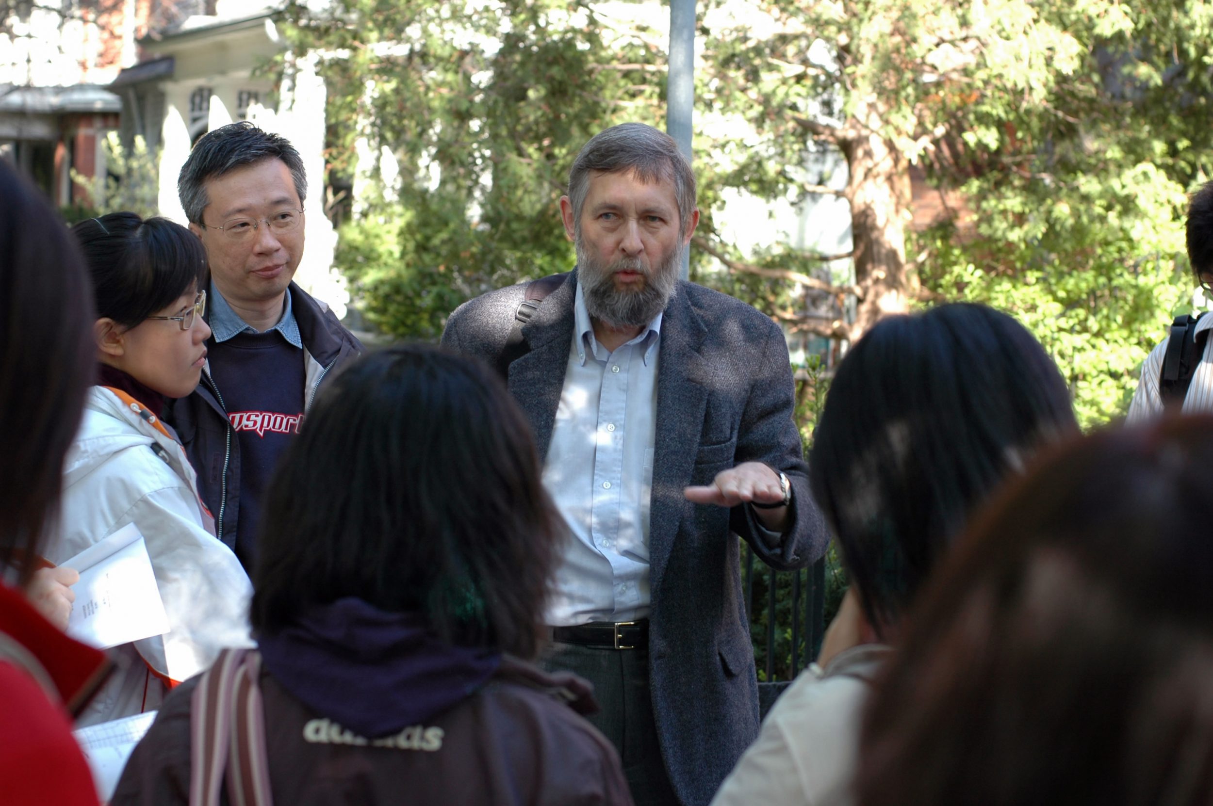
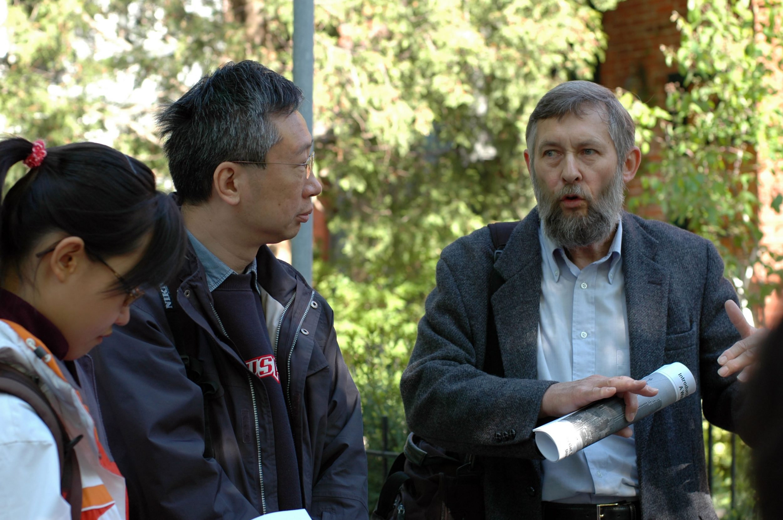
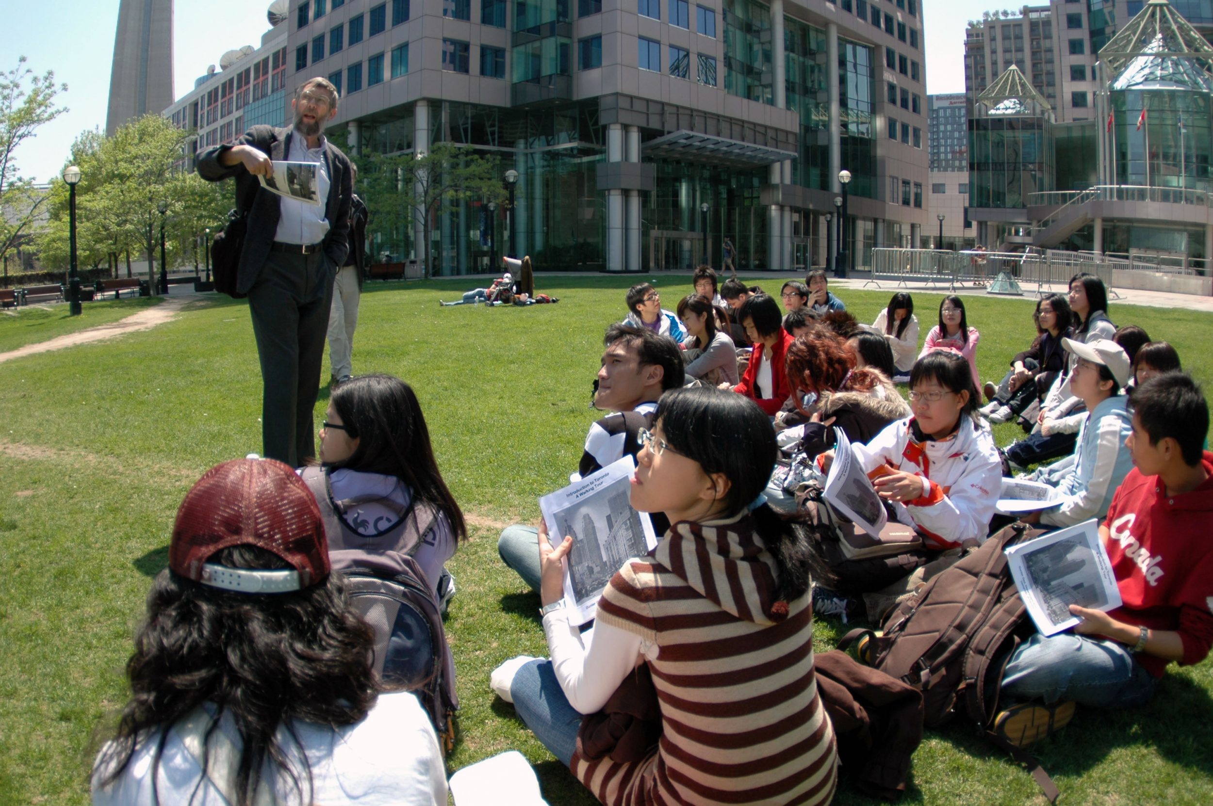
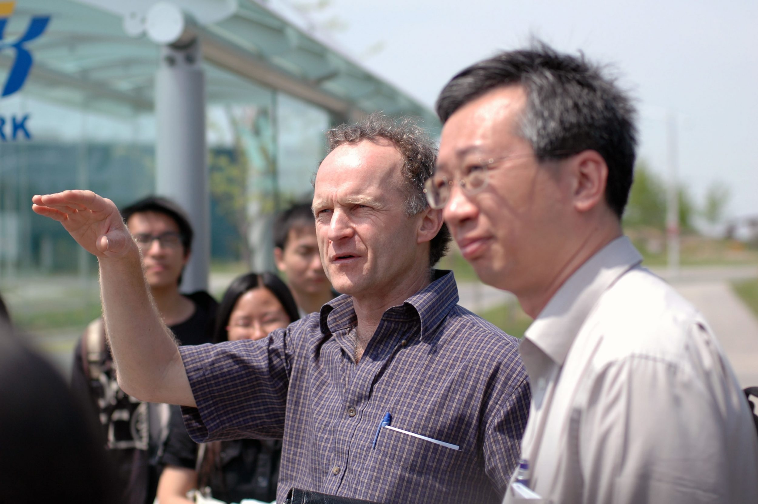
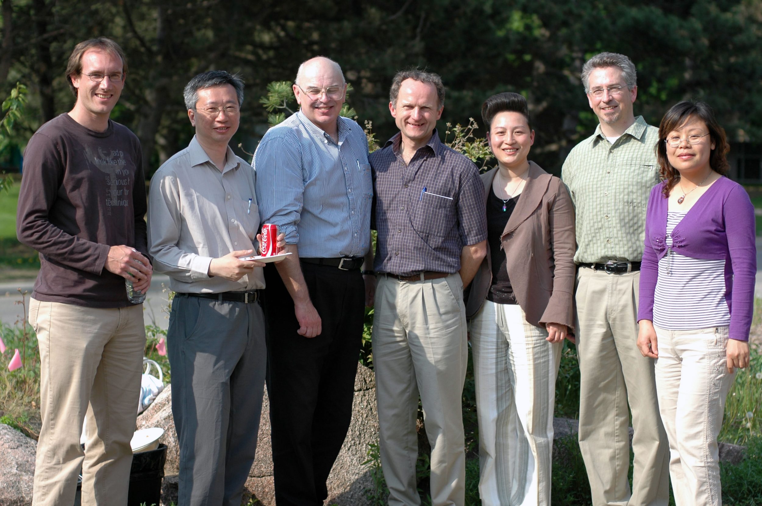
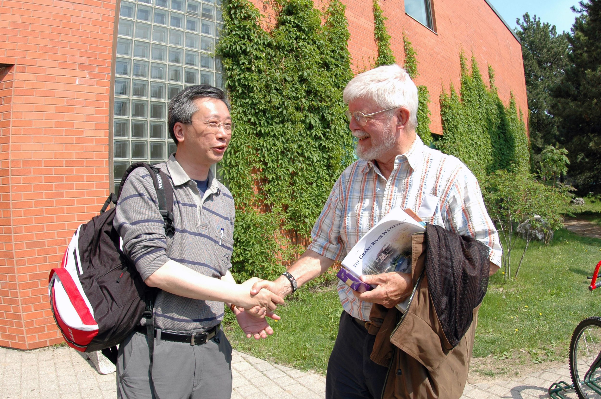
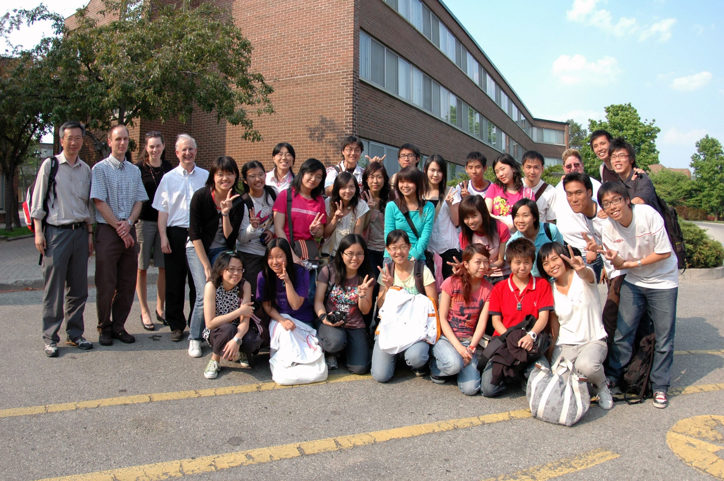
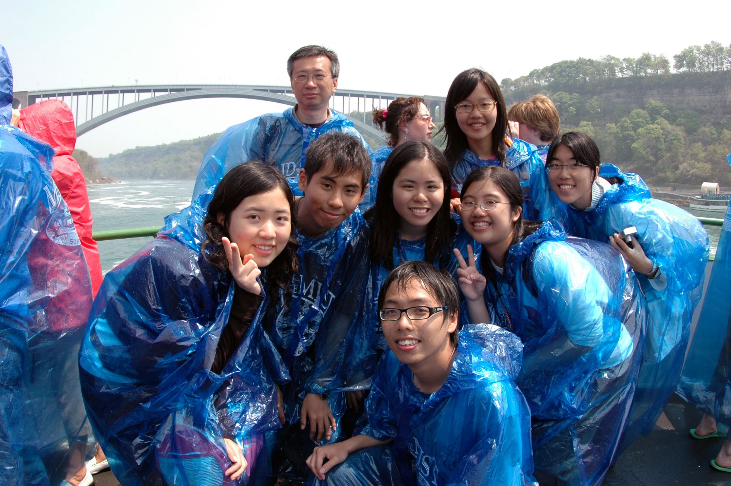
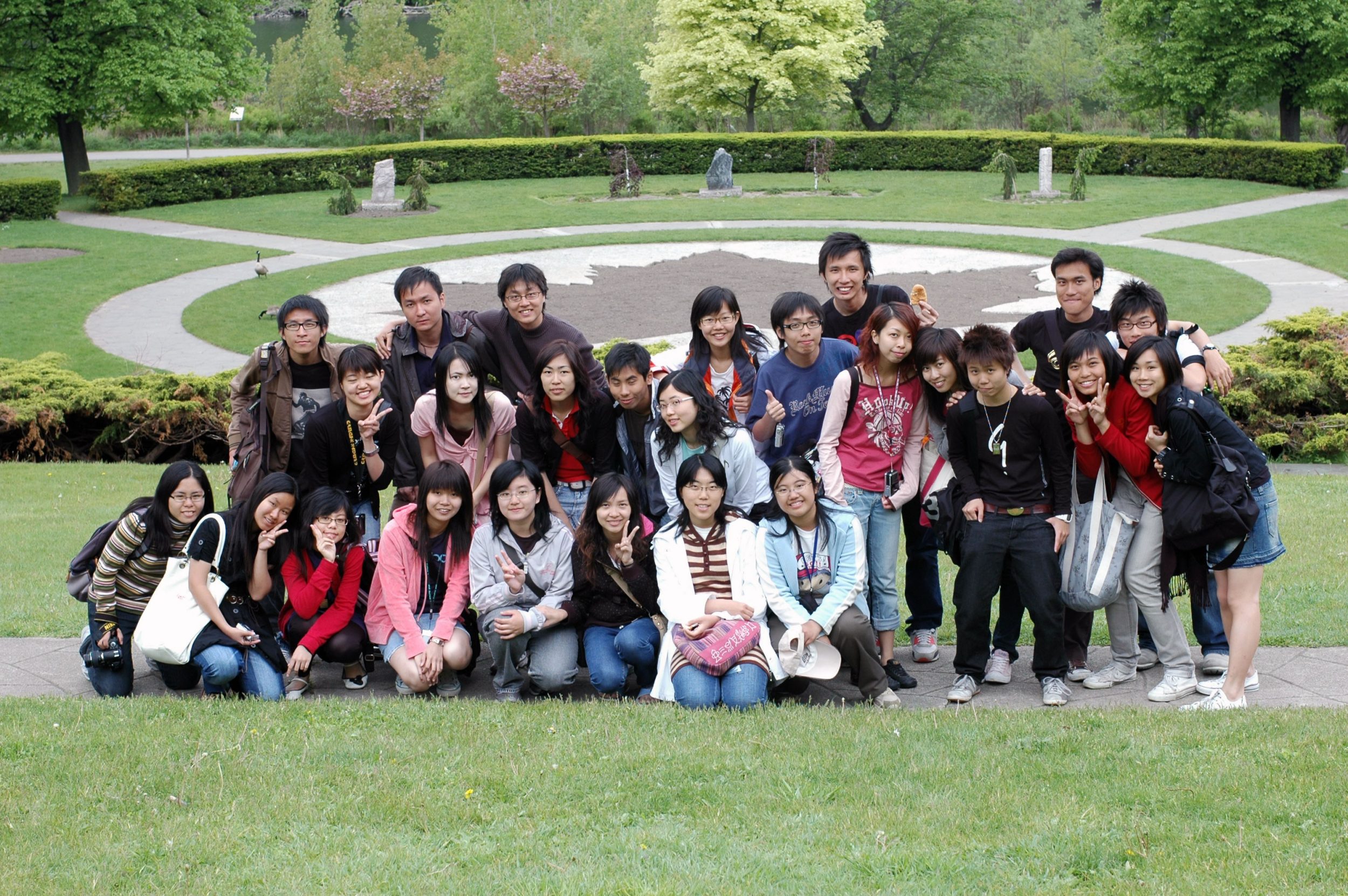
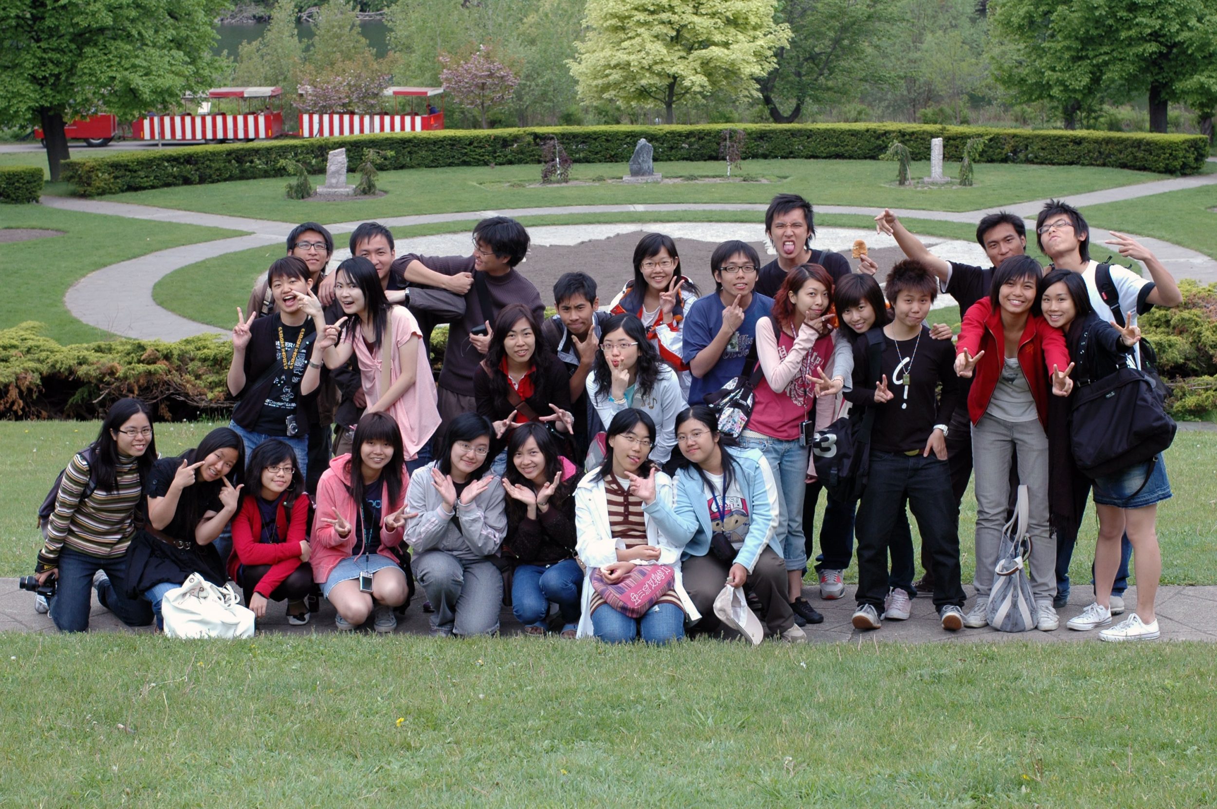
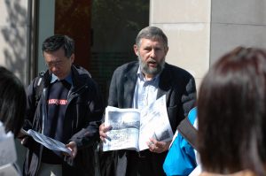
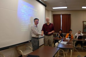
In late May 2007, a field trip to the Southern Ontario, Canada, North America was organized by the Department of Geography and Resource Management. This was the first time for the department to organize a trip to the North America. A total of 26 undergraduate students have joined the trip together with Prof. Fung Tung as trip leader and Mr. Wong Kwan Kit, Frankie as Graduate Assistant. Special thanks are given to Prof. Gunter Gad from the University of Toronto; Prof. Paul Parker, Prof. Gordon Nelson, Prof. Ellsworth LeDrew, Prof. Bruce Mitchell, Ms. Zhao Suping and Ms. Susie Castela from the Department of Geography, University of Waterloo for their assistance in organizing the trip as well as comprehensive guidance and explanation during our trip.

Prof. Gunter Gad Prof. Paul Parker
Prof. Gordan Nelson Prof. Ellsworth LeDrew
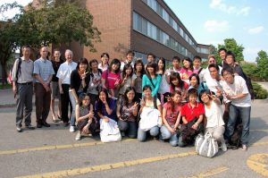
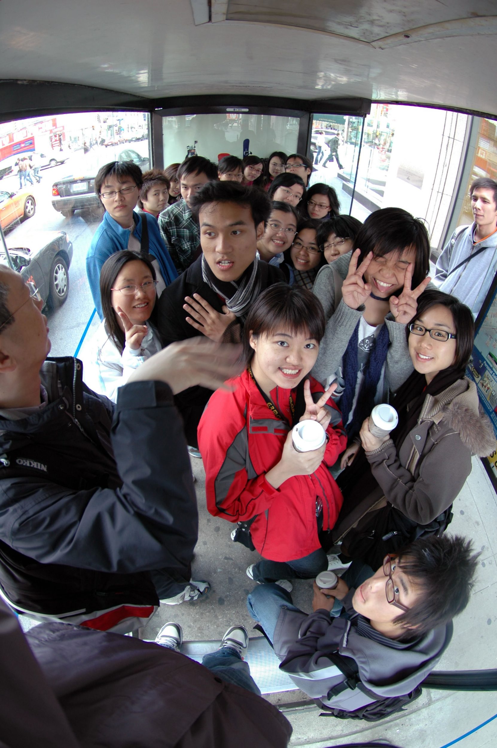
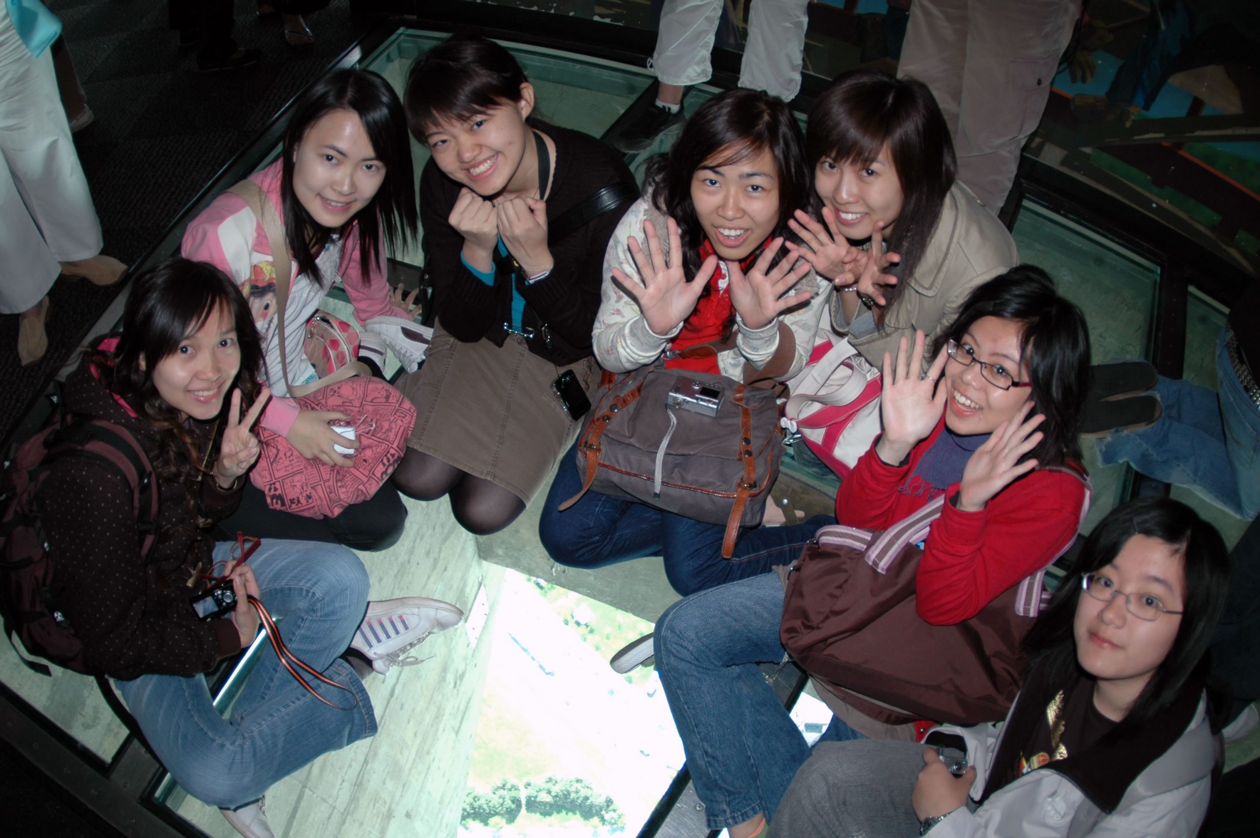
The Study Group
The Study Mode
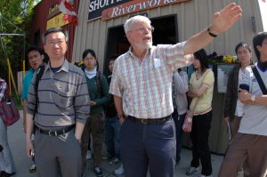
Field trips of the department encourage students to study a variety of topics in Geography. Before the trip, 26 students are divided into 6 groups. Each group is assigned a special topic concerning the studies either in Toronto or Kitchener-Waterloo (KW), which is shown in the itinerary below. Students are required to search and gather information, read relevant articles related to the topic assigned. We have scheduled two meeting sections for the students to present their findings. During the trip, various study modes including lectures, guided tours as well as fieldwork such as land-use and questionnaire survey are conducted.
Assessment
This field trip allowed studesnts to fulfill a compulsory course requirement for all major students. Assessments for the students are based on their preparation, participation and presentation before as well as during the trip. Students (in group) are required to submit a detailed report concerning the topic of their study as well as preparing a website (in group) for the theme of their study.
DAY 1
17/05/2007
DAY 2
18/05/2007
DAY 3
19/05/2007
DAY 4
20/05/2007
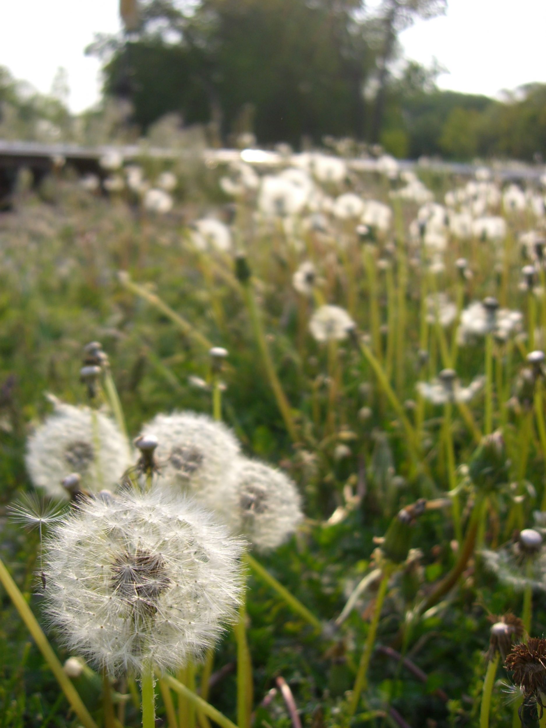
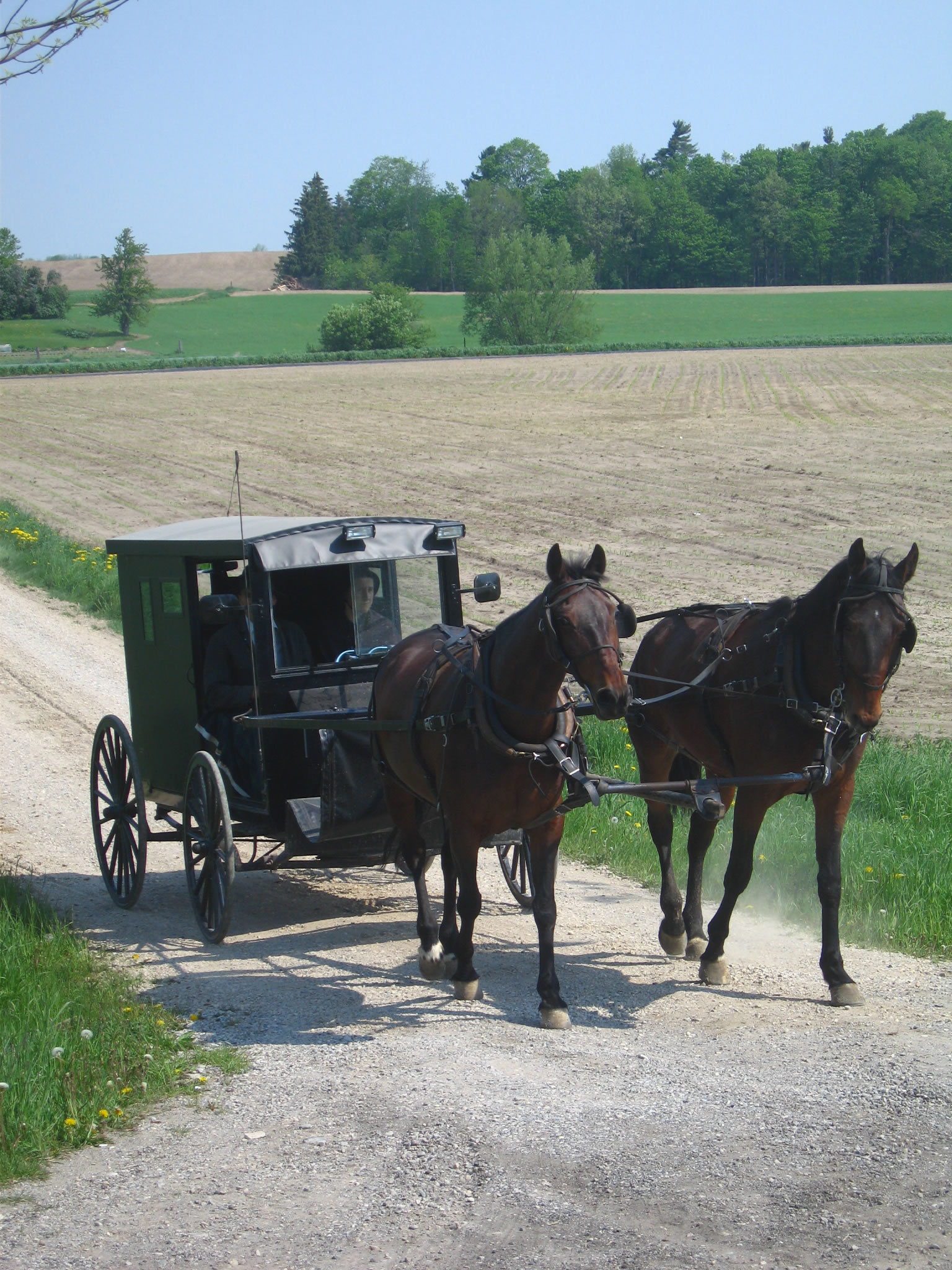
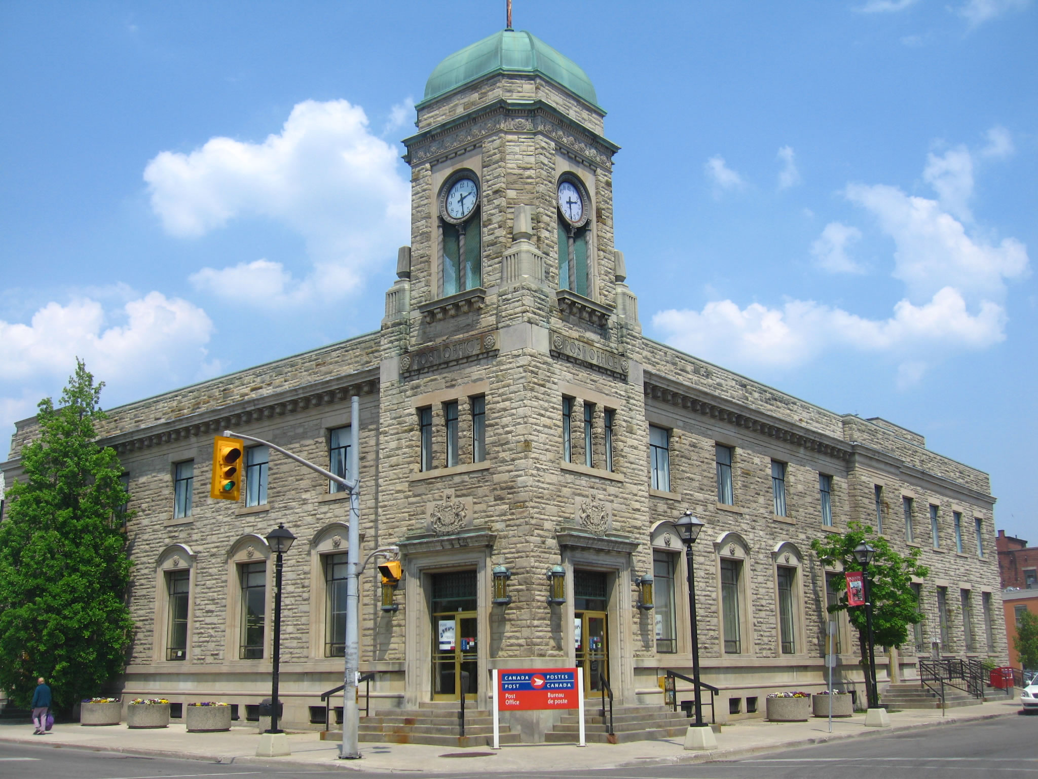
Free Day: local orientation in Waterloo
DAY 5
21/05/2007
Toyota Motor Manufacturing Centre
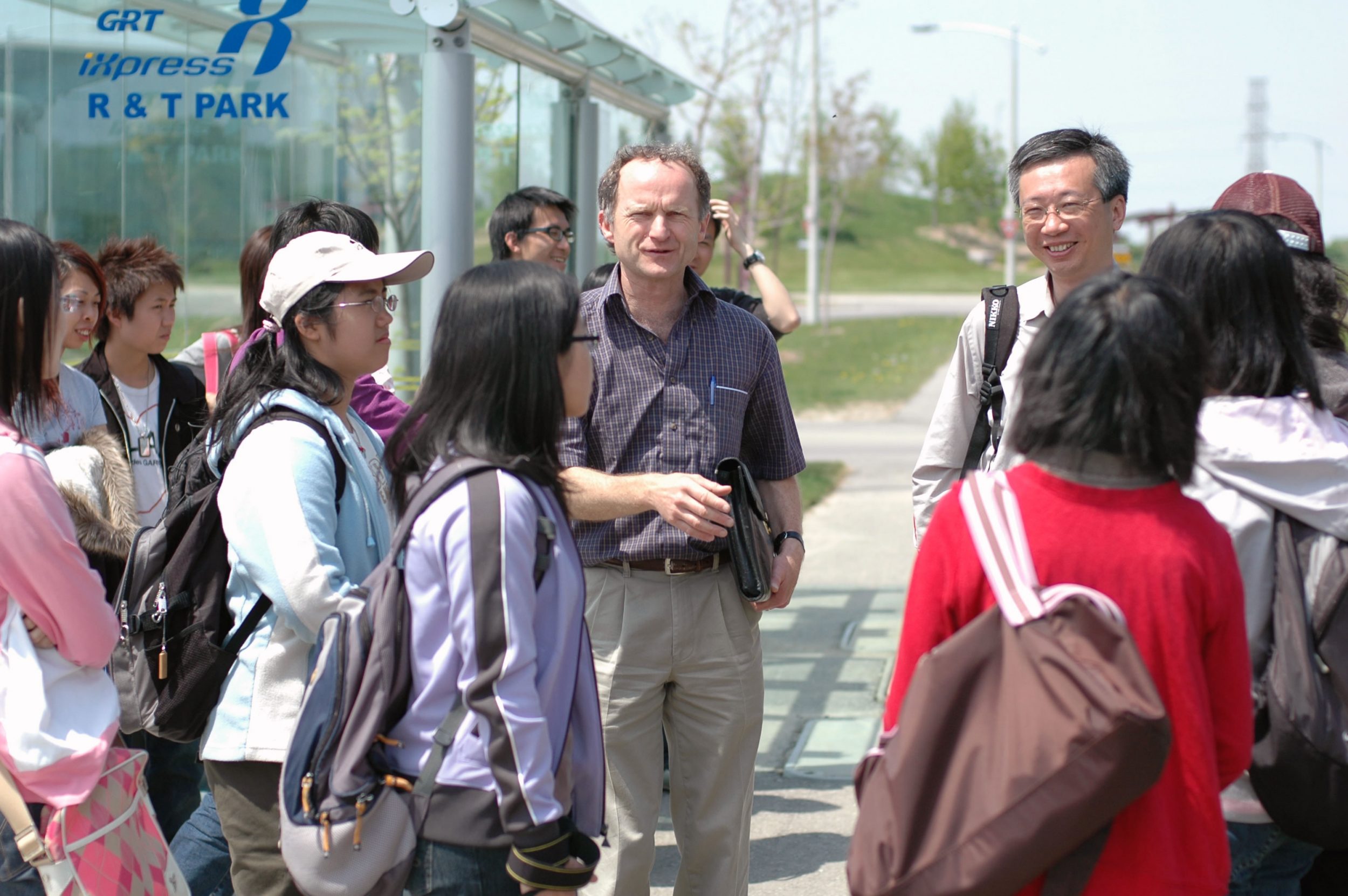
Waterloo Research and Technology Park
DAY 6
22/05/2007
Grand River Conservation Authority: Heritage river, floodplain management, Watershed Planning
DAY 7
23/05/2007
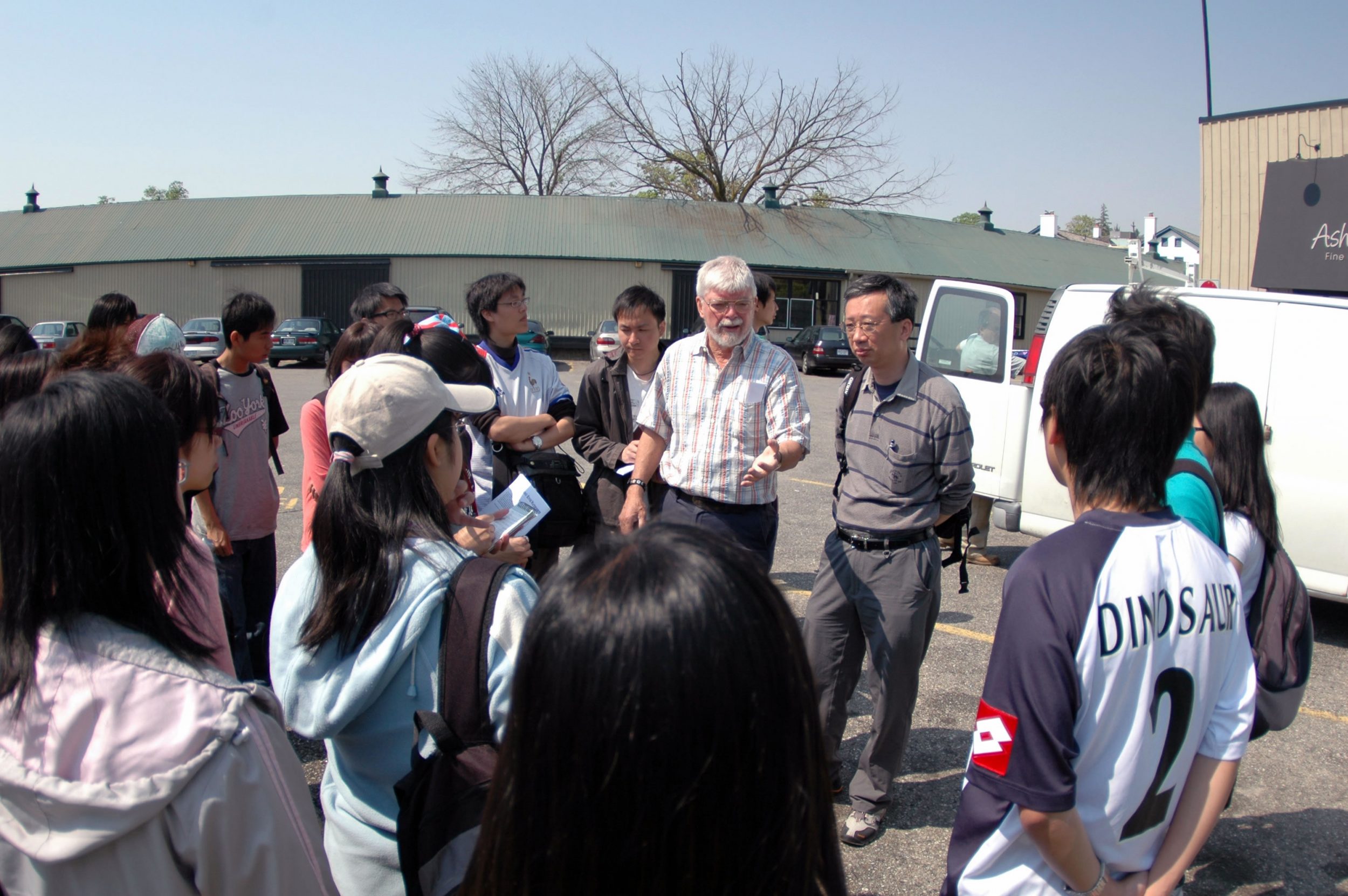
Remote Sensing Projects at Waterloo:
The Canadian Cryospheric Information Network
The IPY Canadian Metadata Master Directory
The World Bank Coral Reef Project
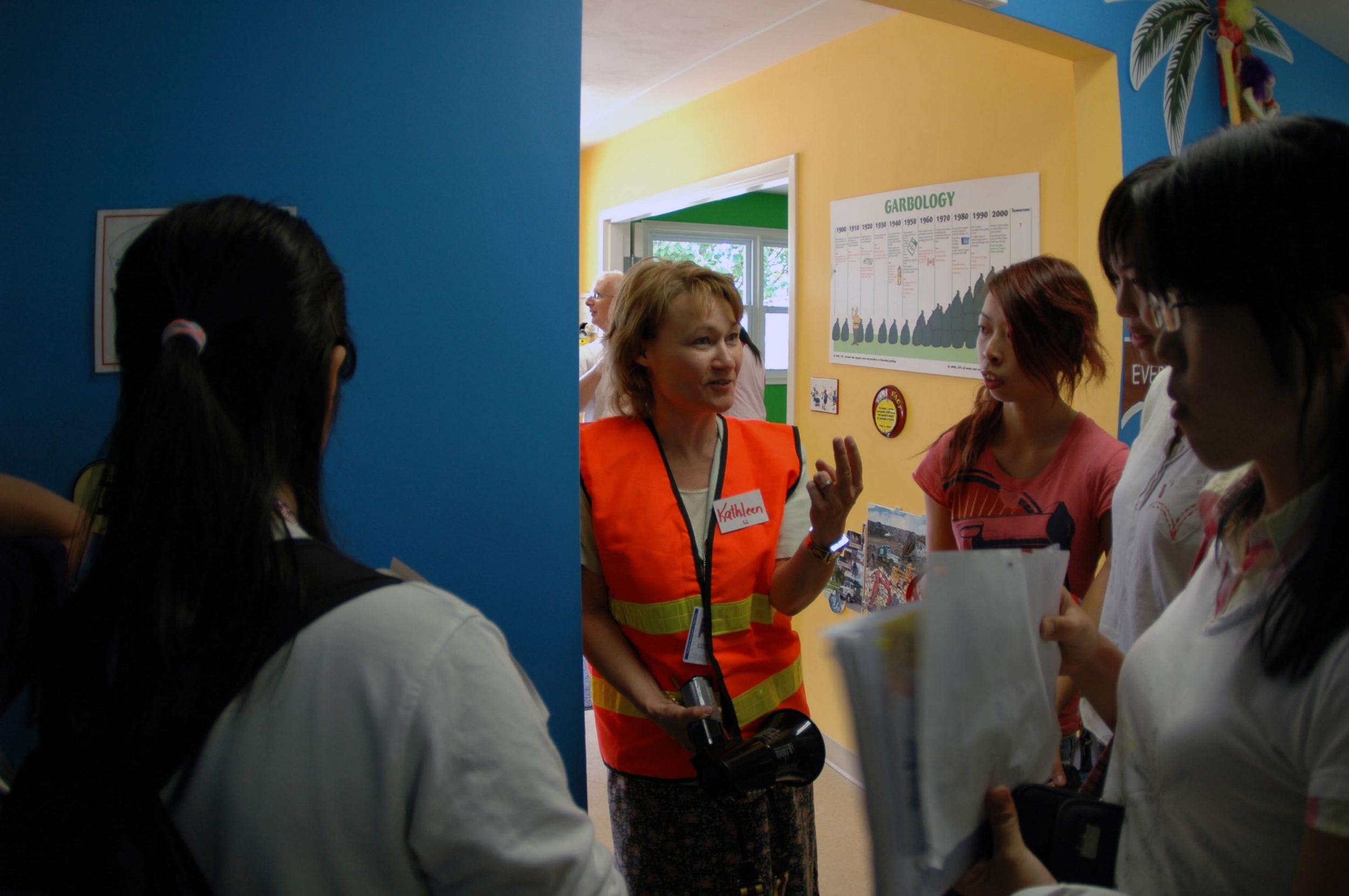
Waste Management and Water Conservation
Erb St. Landfill Site, Waterloo Moraine, urban growth pressures
DAY 8
24/05/2007
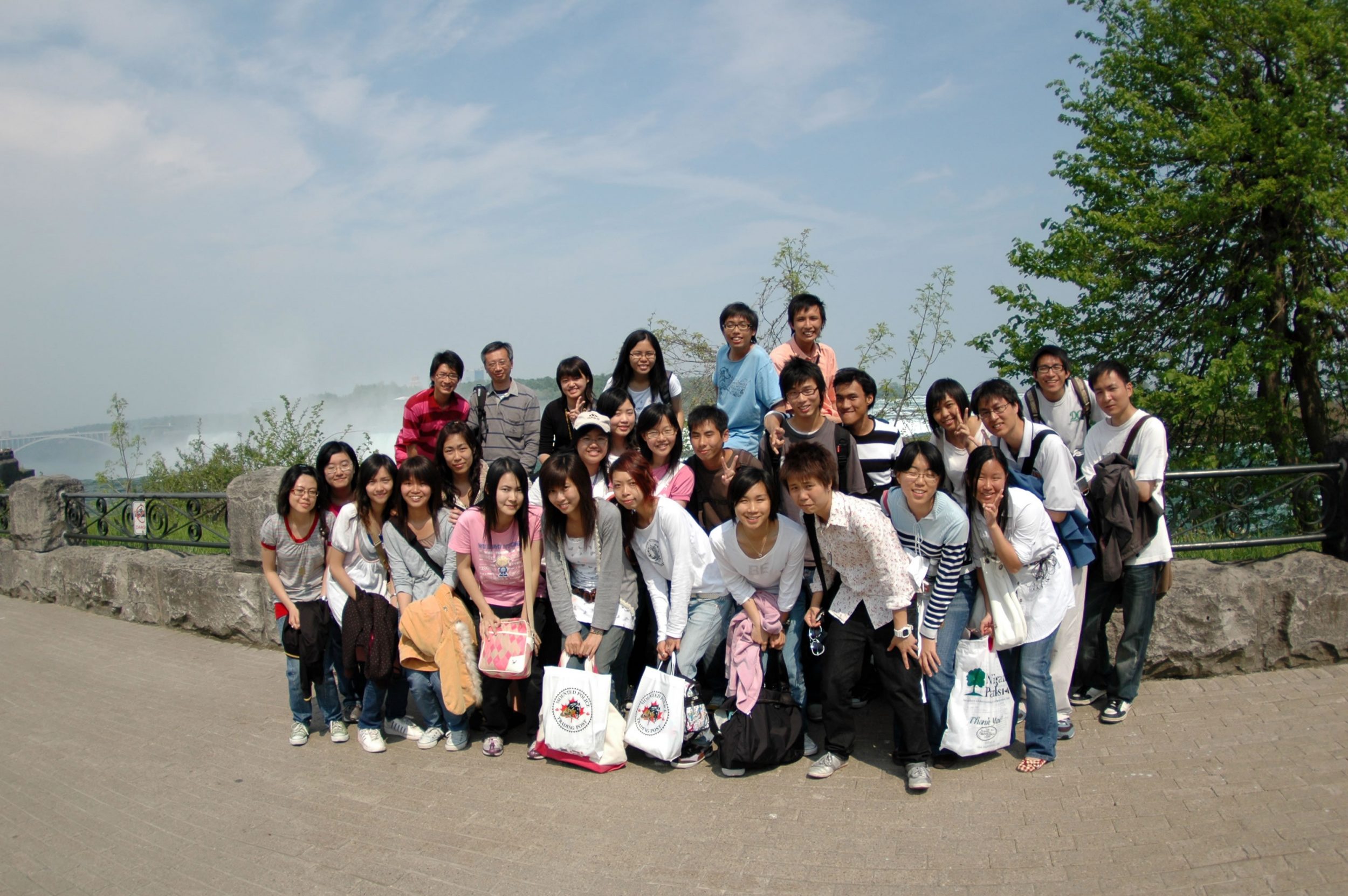
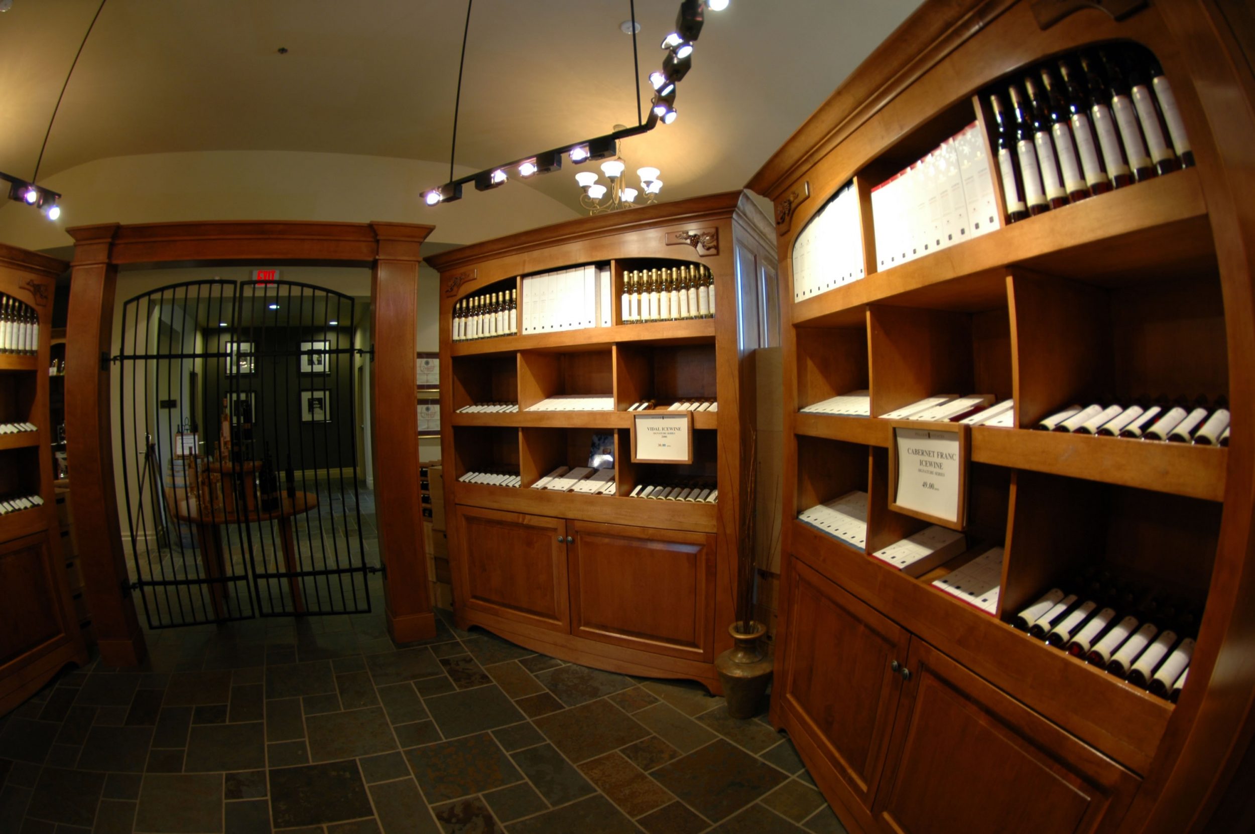
Specialized agriculture: ice wine production: Niagara vineyards
DAY 9
25/05/2007
Self exploration
DAY 10
26/05/2007
DAY 11
27/05/2007
Research Content
For each group, the students are required to give a brief account on the followings related to their topic assigned.
Why we want to study this topic?
What information collected to be shared with the large group?
What do you expect to see in that particular date?
Group presentation files:
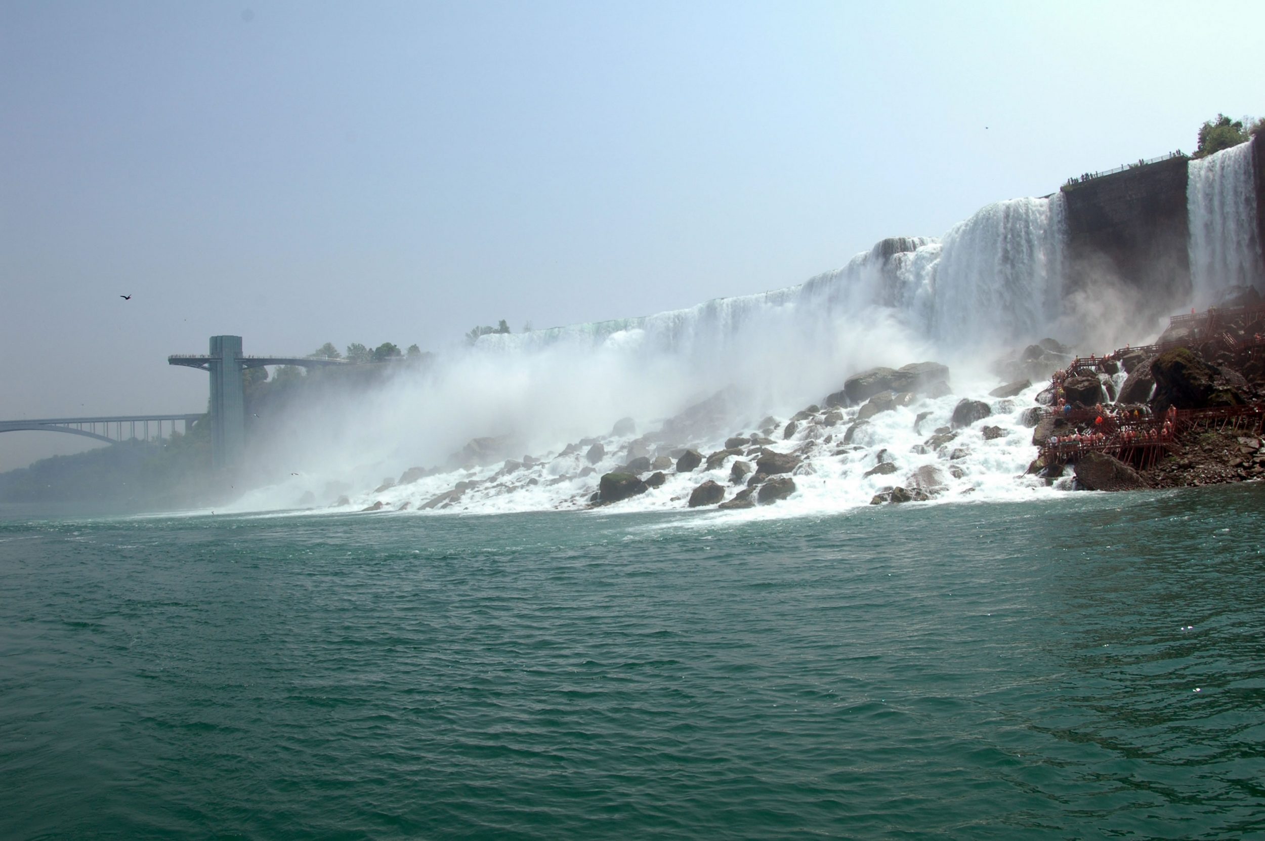
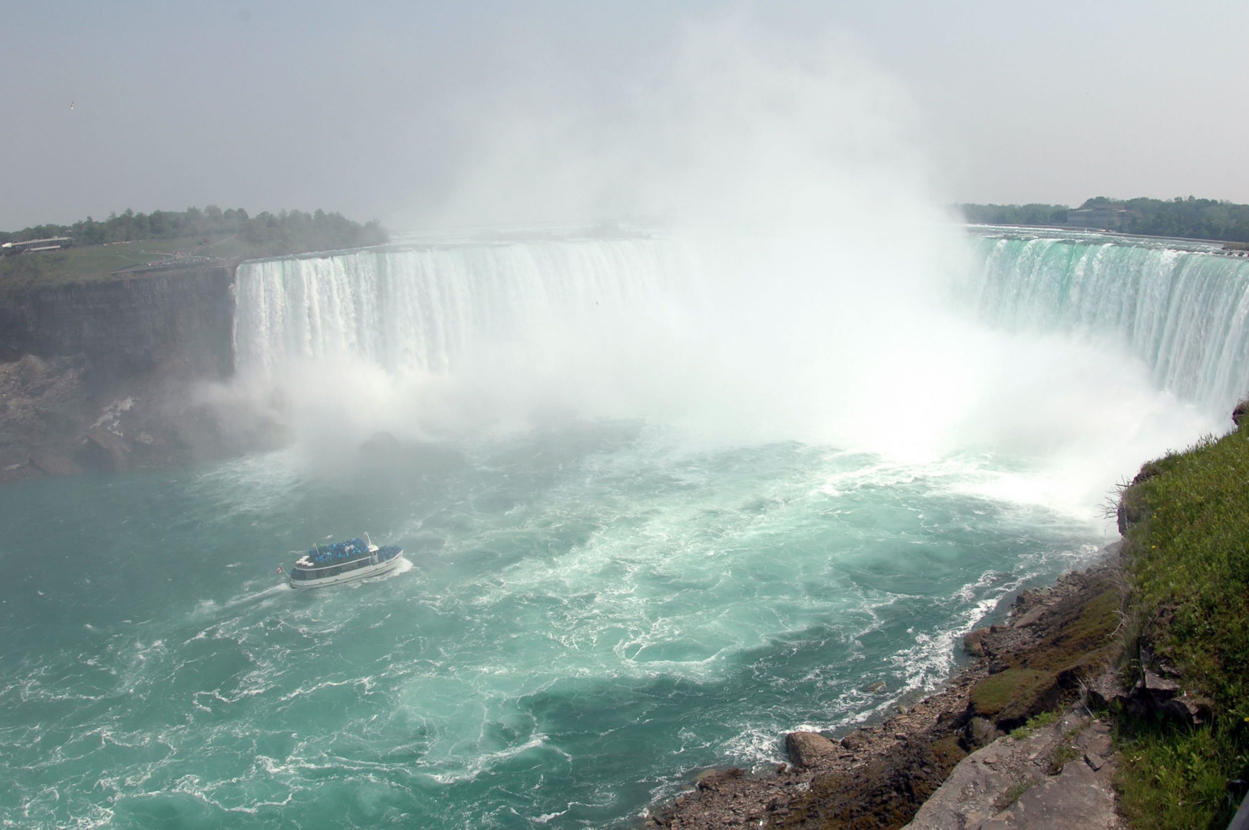
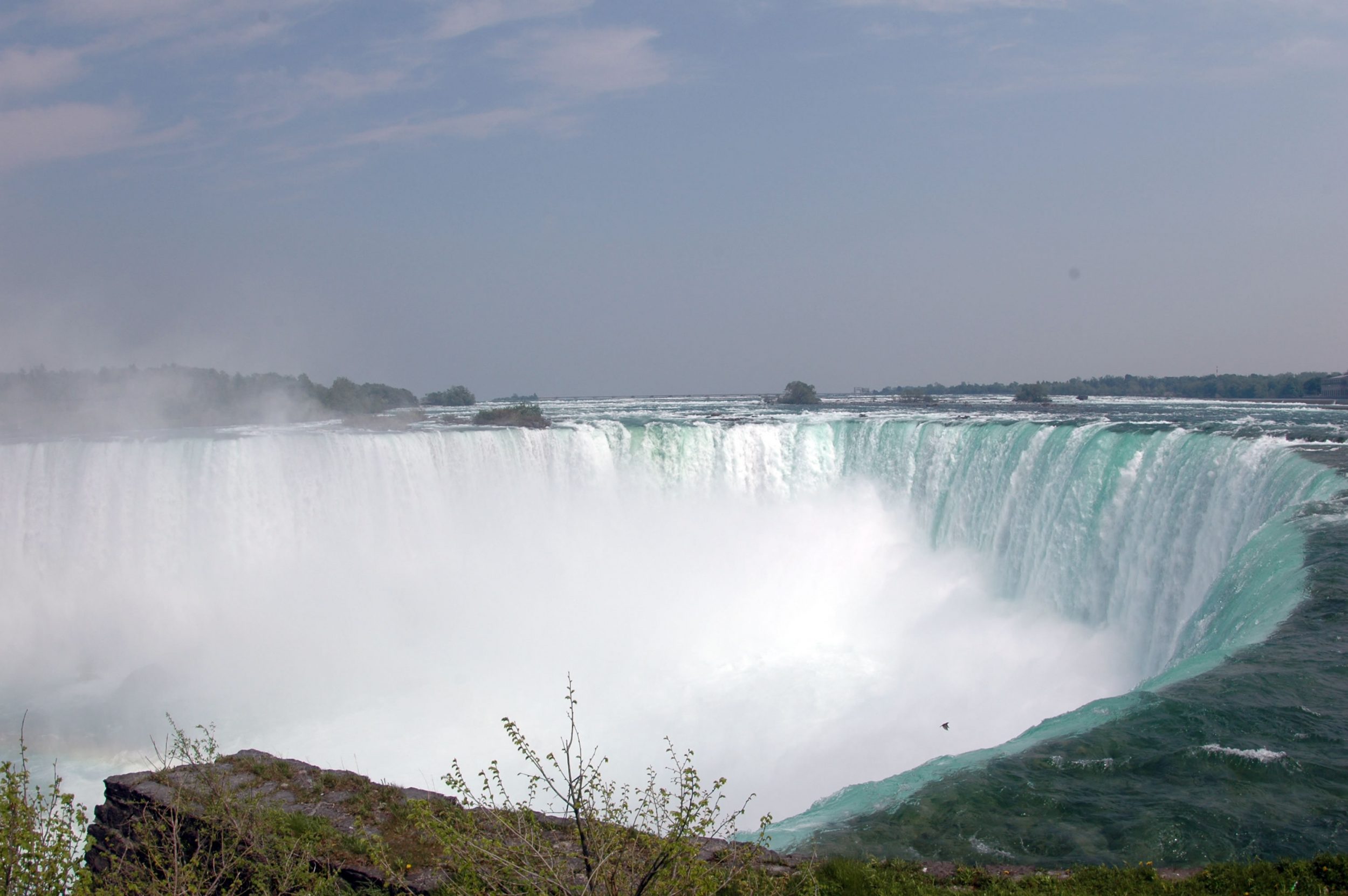
Group 1: Niagara Fall
Group 2: Urban and Village Transformation in Waterloo
Group 3: Industrial Transformation in Toronto
Group 4: Urban Development in Downtown Tornoto
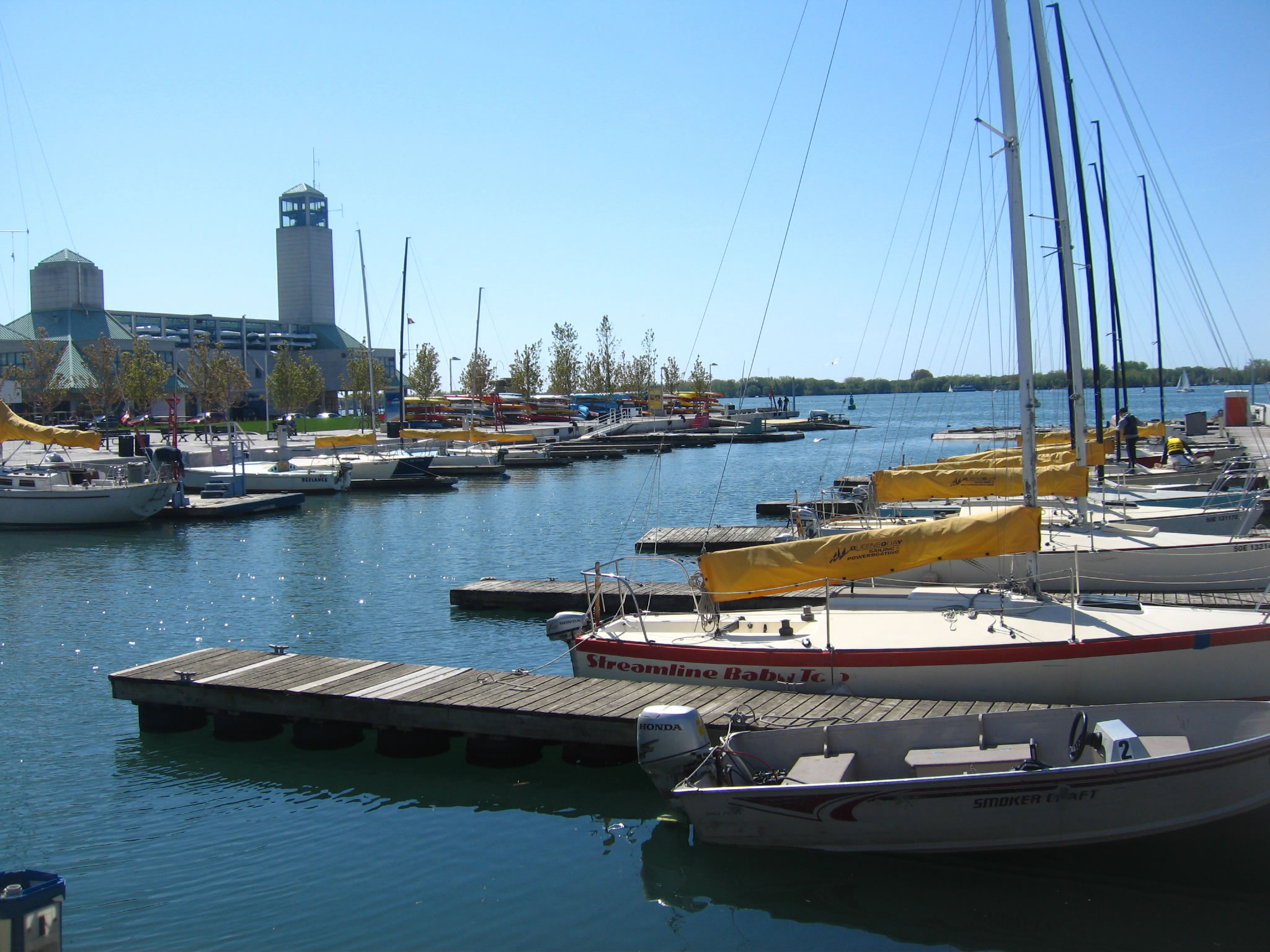
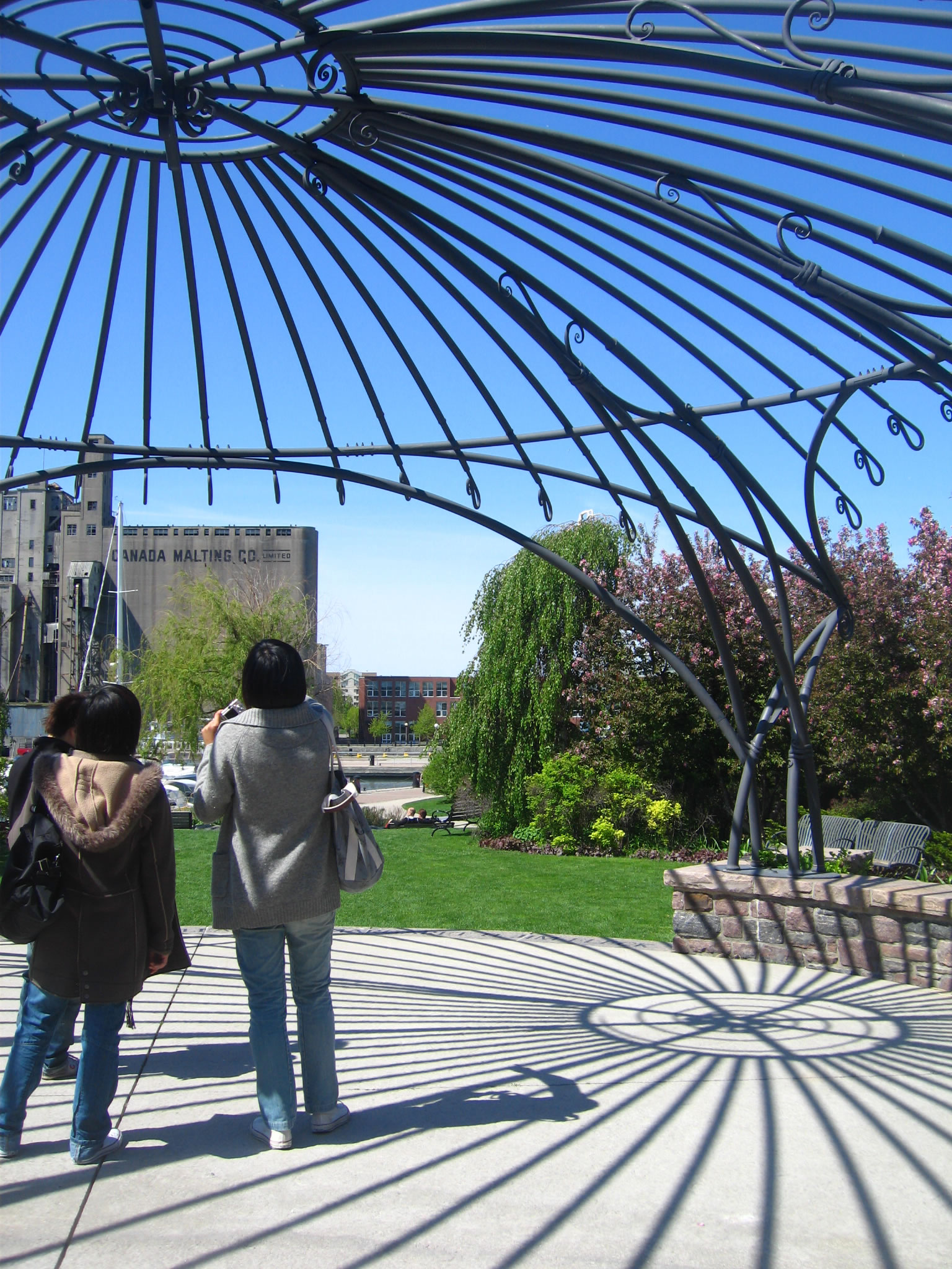
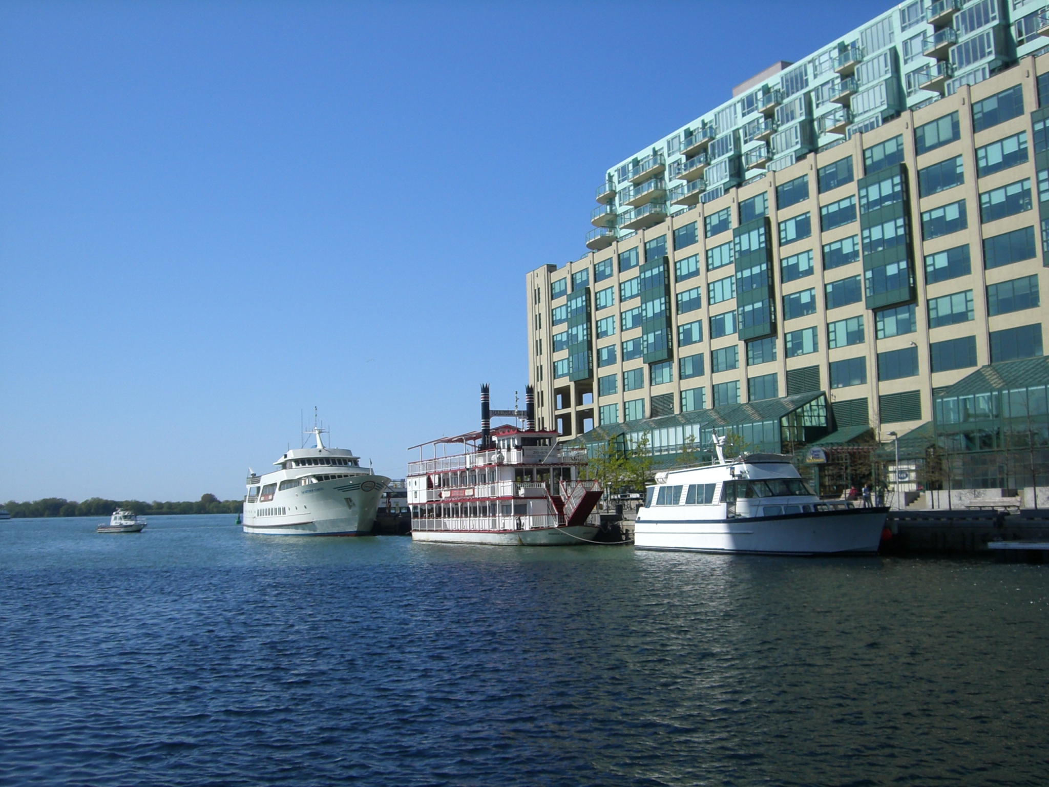
Group 5: Toronto Waterfront Revitalization programme
Group 6: Resource Management: Grand River Conservation