香港中文大學地理與資源管理系

澳洲考察 2002

目的地

澳洲 Australia

Australia is a country with a population of 19 million. The country is 7 million sq km large, and the capital city is Canberra.
In Australia 92% of the population is assimilated white Australians, 7% are Asian immigrants, and, 350,000 are indigenous Aborigines. 58% are Christians (more than half are Catholics), and the rest are Buddhist, Jewish, Muslim and other mixed denominations.

The country is a constitutional monarchy; the Head of State is Queen Elizabeth II. The current ruling party is the coalition lead by Prime Minister John Howard.

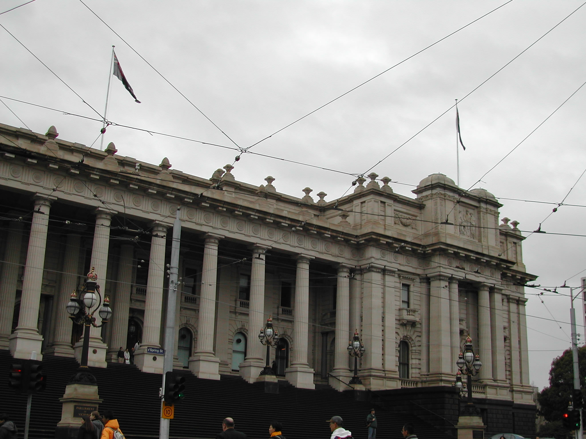
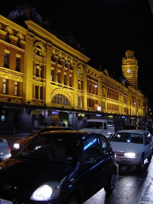
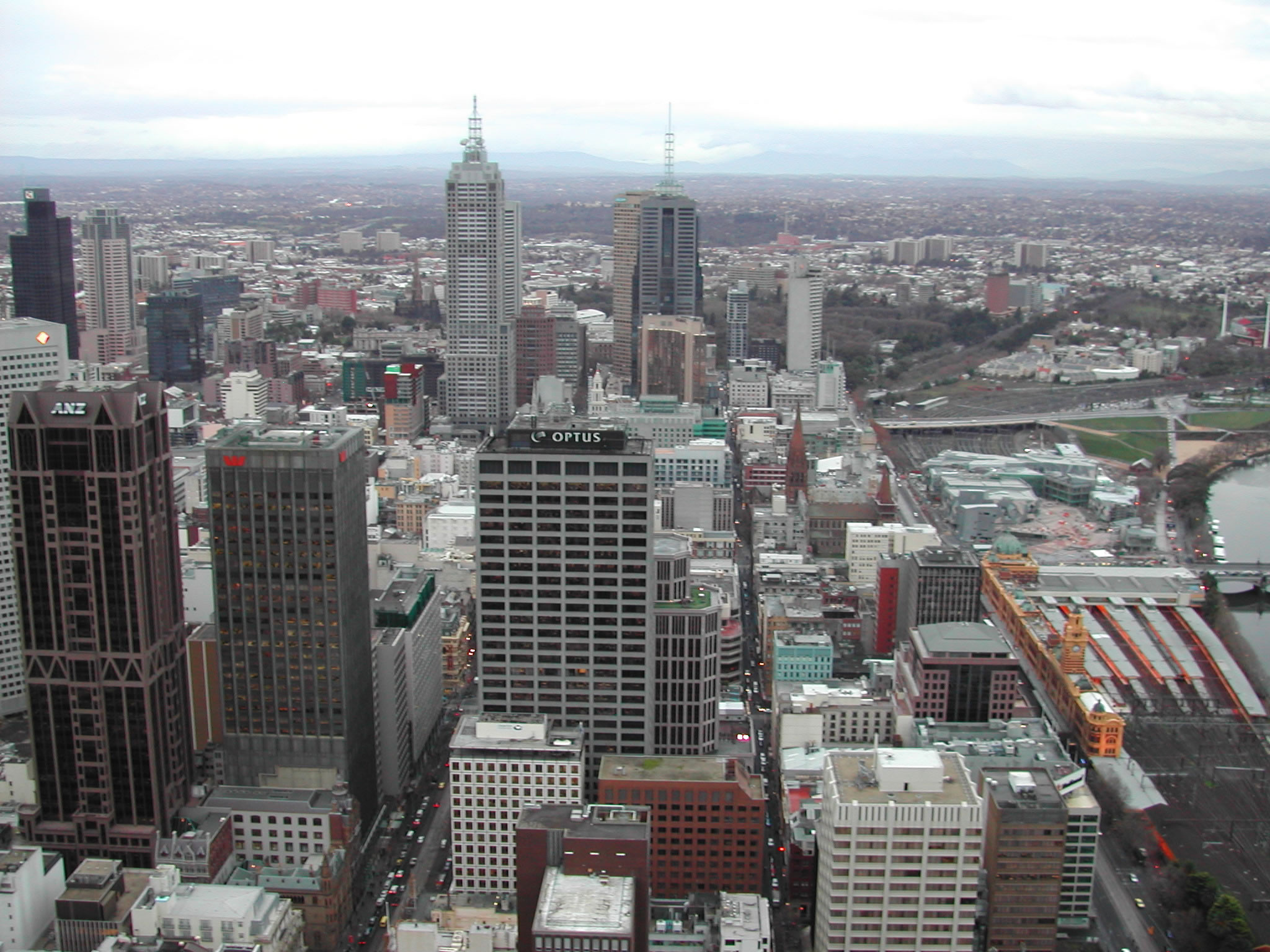
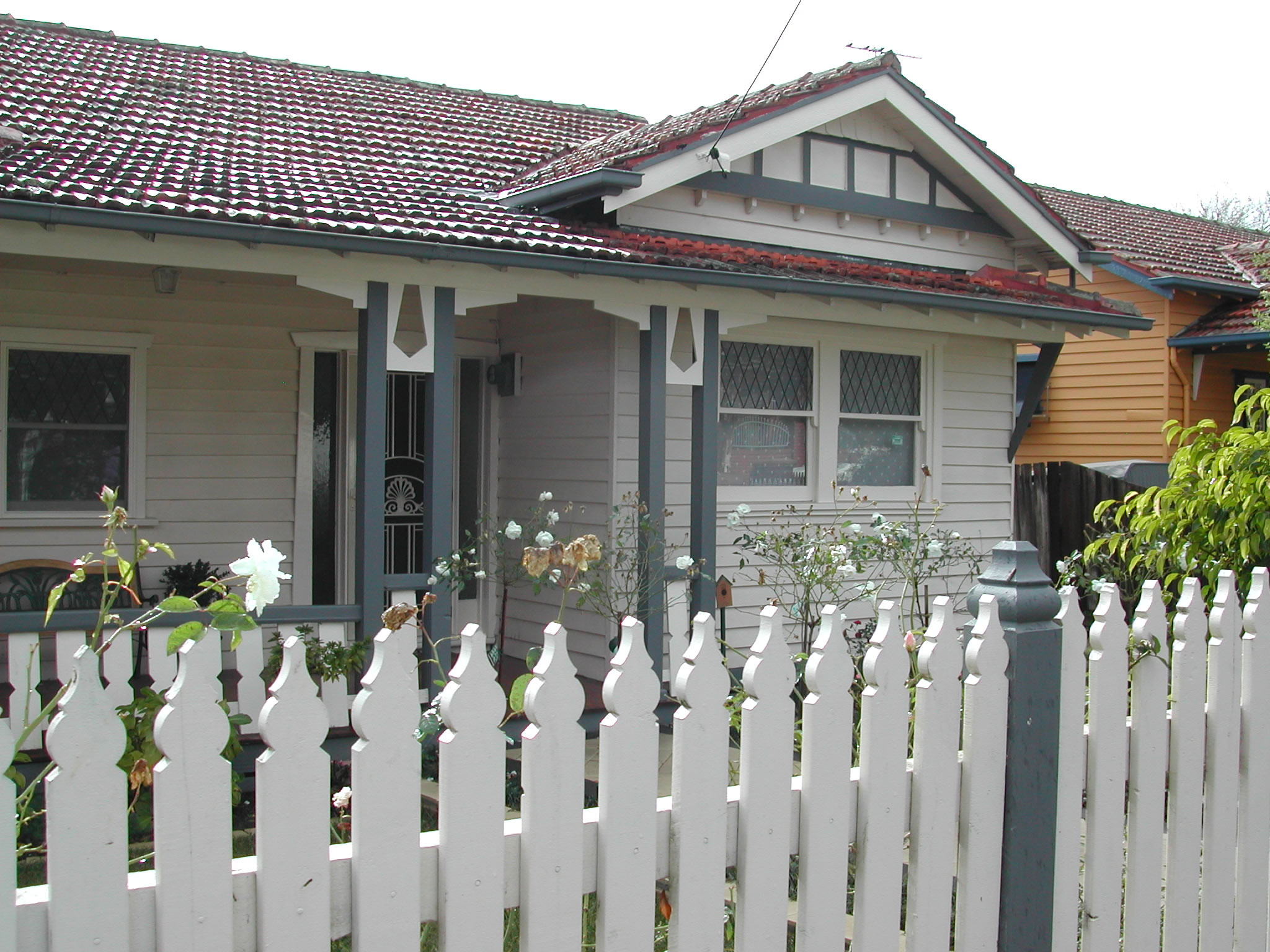
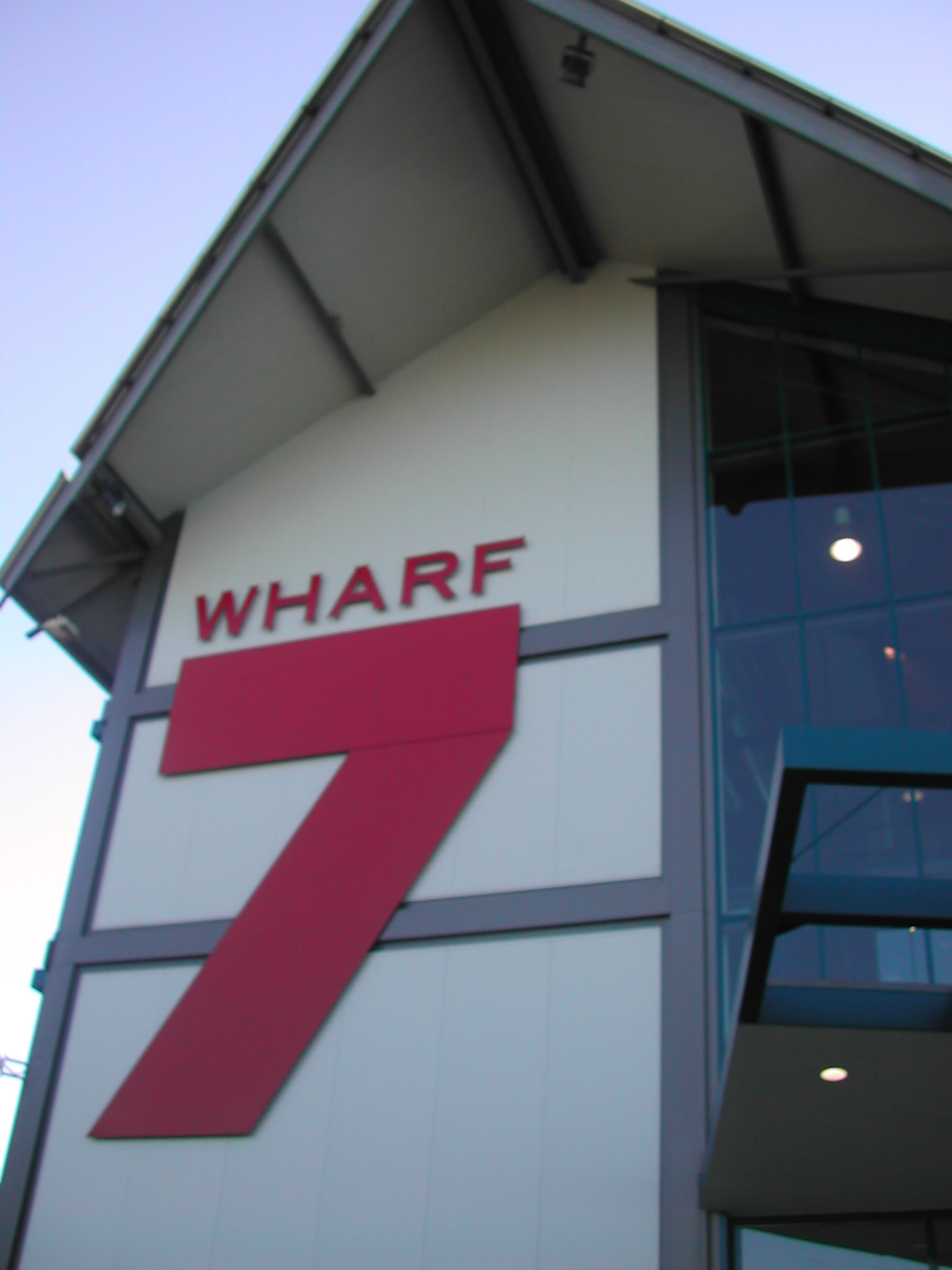
Melbourne is Australia’s second largest city with a population of over three million. Located along the banks of the Yarra River where it meets Port Philip Bay, Melbourne is a multicultural city and home to people from over 140 nations. Now the capital of Victoria, Melbourne was founded in 1835 and later became a city of international significance within 50 years. By 1901 it had become Australia’s first capital. Since then, Melbourne has grown dramatically. The city has nurtured and inspired architecture, gardens and urban design recognized worldwide.


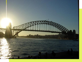
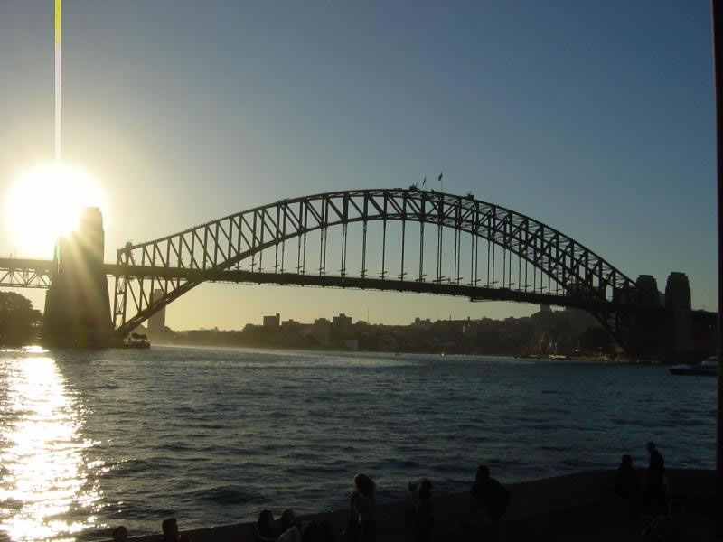
Figure 1: Sydney Harbour Bridge

行程安排

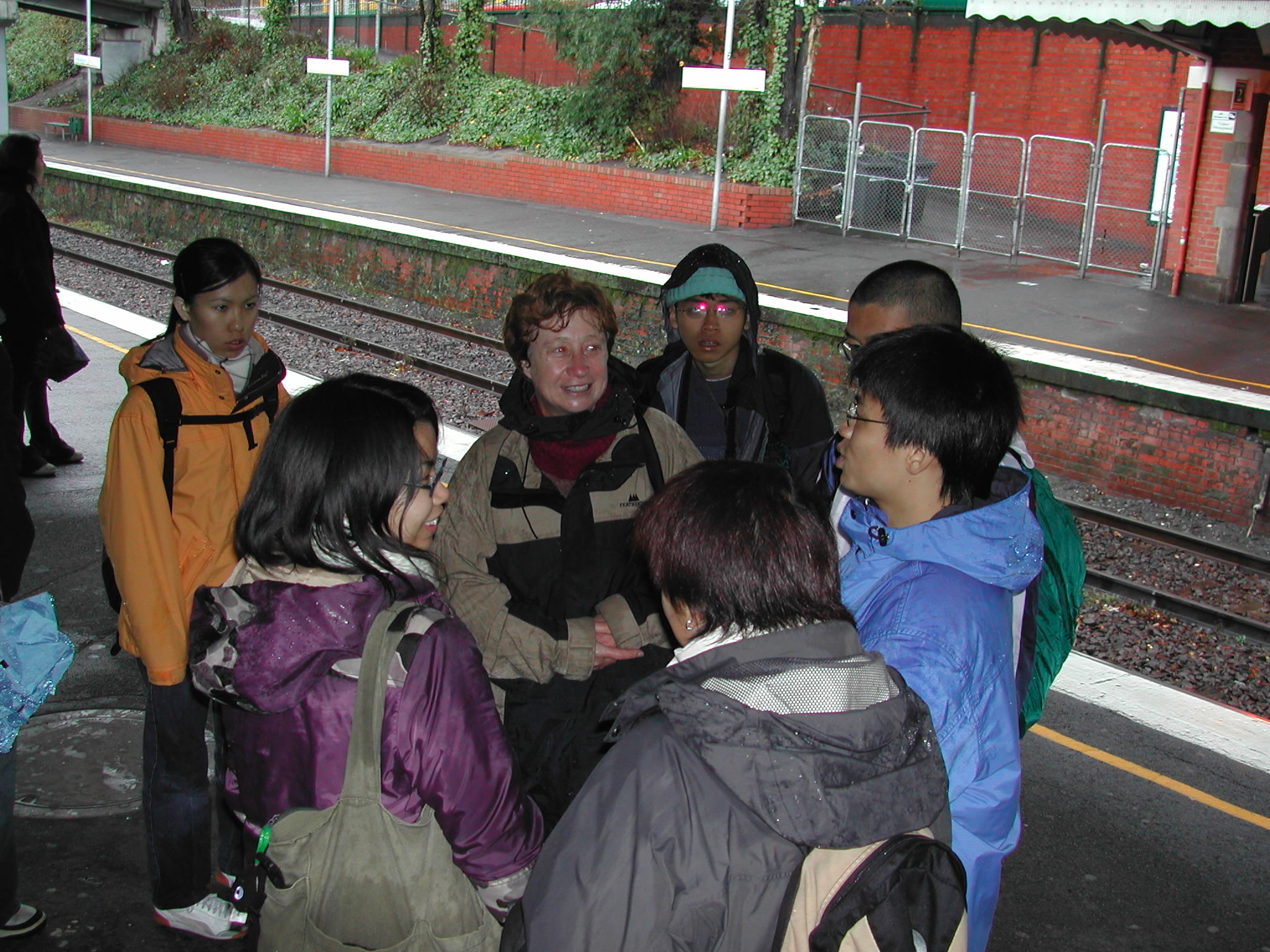
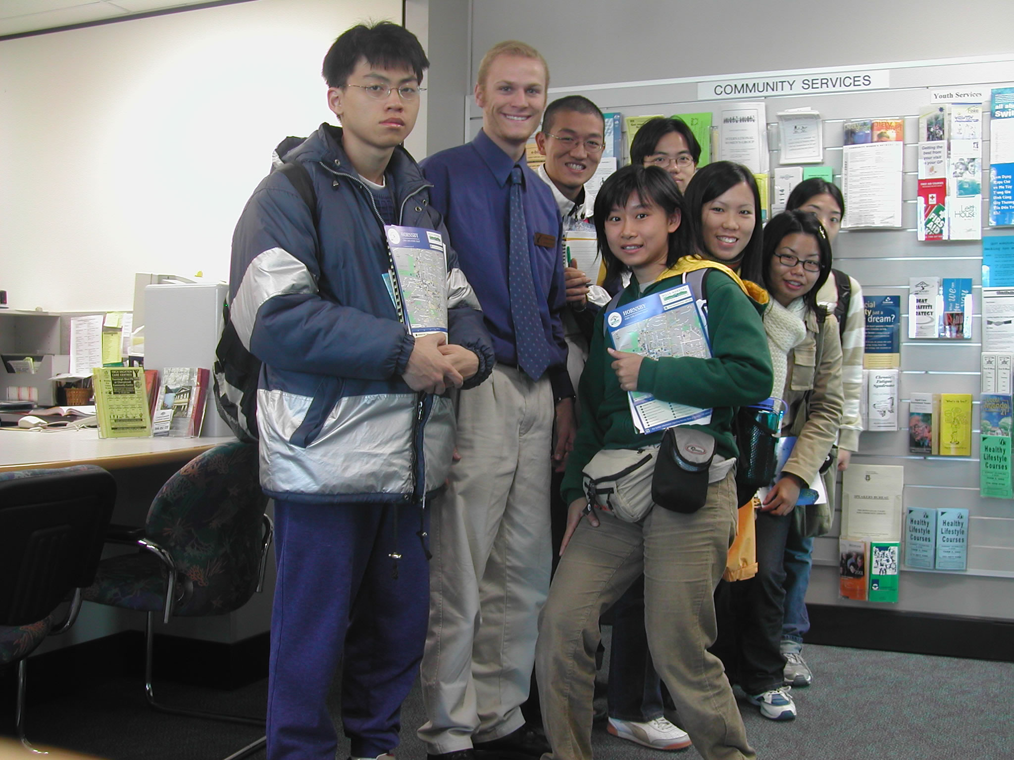
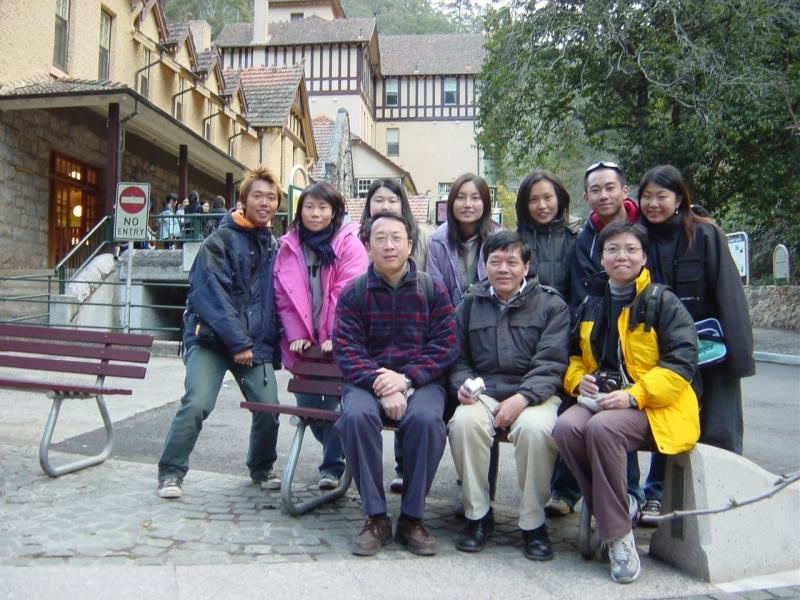
In the year 2002, a field trip to Australia was organized by the Department of Geography and Resource Management. This was the first year when field study trips were organized as compulsory courses. A total of 32 participants included Prof. Lam kin Che and Prof. Chen Yongqin (Trip Leaders), Ms. Sandy Lee (Staff), Mr. Dennis Woo (Graduate Assistant) and 28 undergraduate students. Special thanks to Prof. Lawal Marafa, trip coordinator, for his efforts in the organization of our trip. Thanks also to colleagues at SAGES of the University of Melbourne for their kind support and guidance during our trip. In addition, we thank Dr. Brian Finlayson, Dr. Mark Yaolin WANG, and Dr. Wayne Stephenson for their help in organizing the trip.


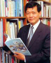
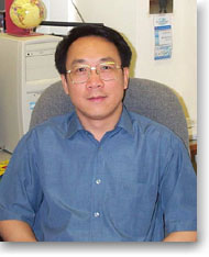
Figure 1: Prof. Lam Kin Che

Figure 2: Prof. Chen Yongqin, David

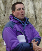
Figure 3: Dr. Wayne Stephenson

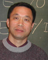
Figure 4: Dr. Mark Yaolin Wang


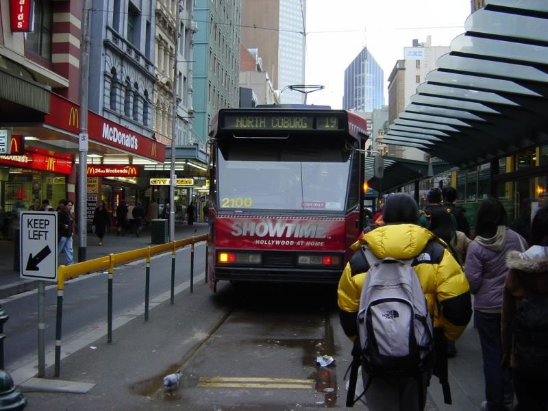
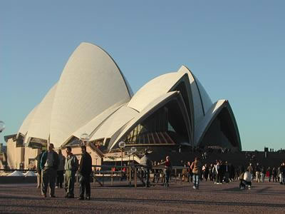
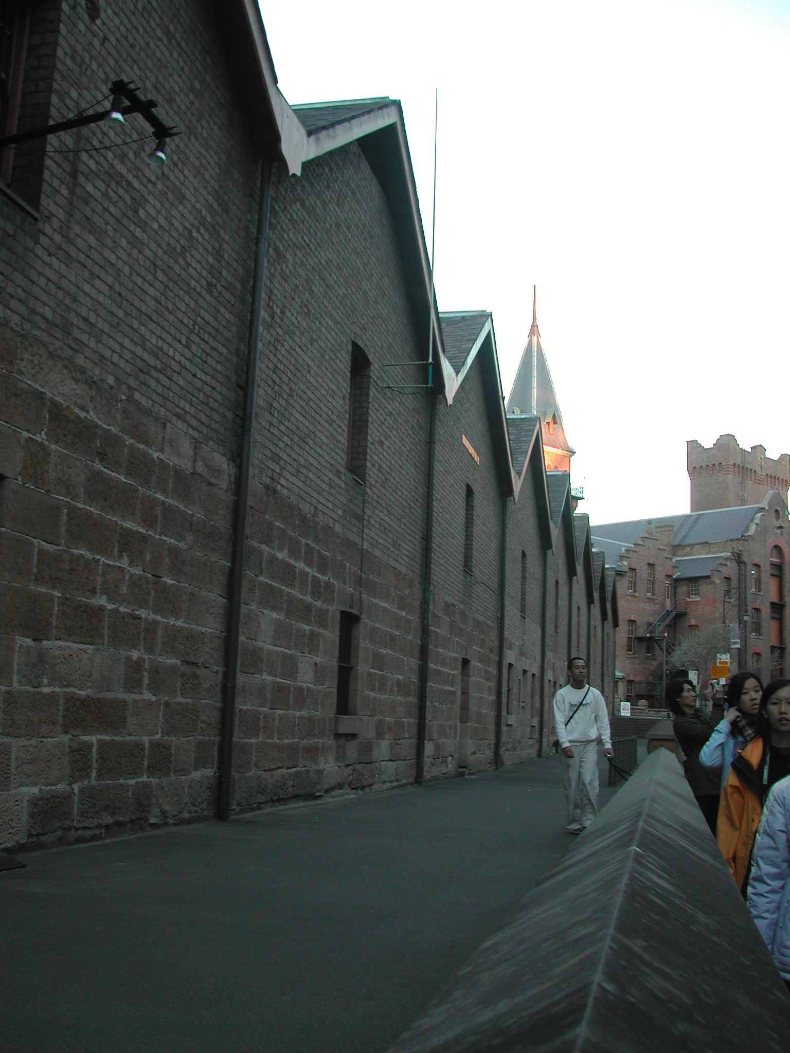
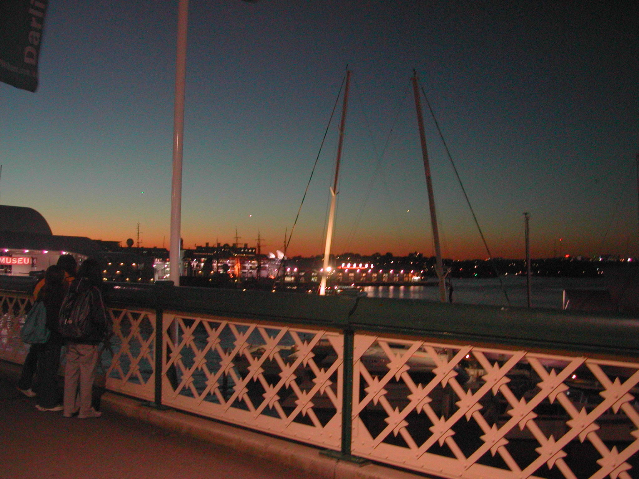
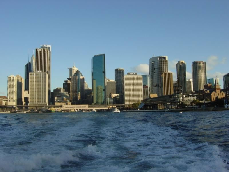
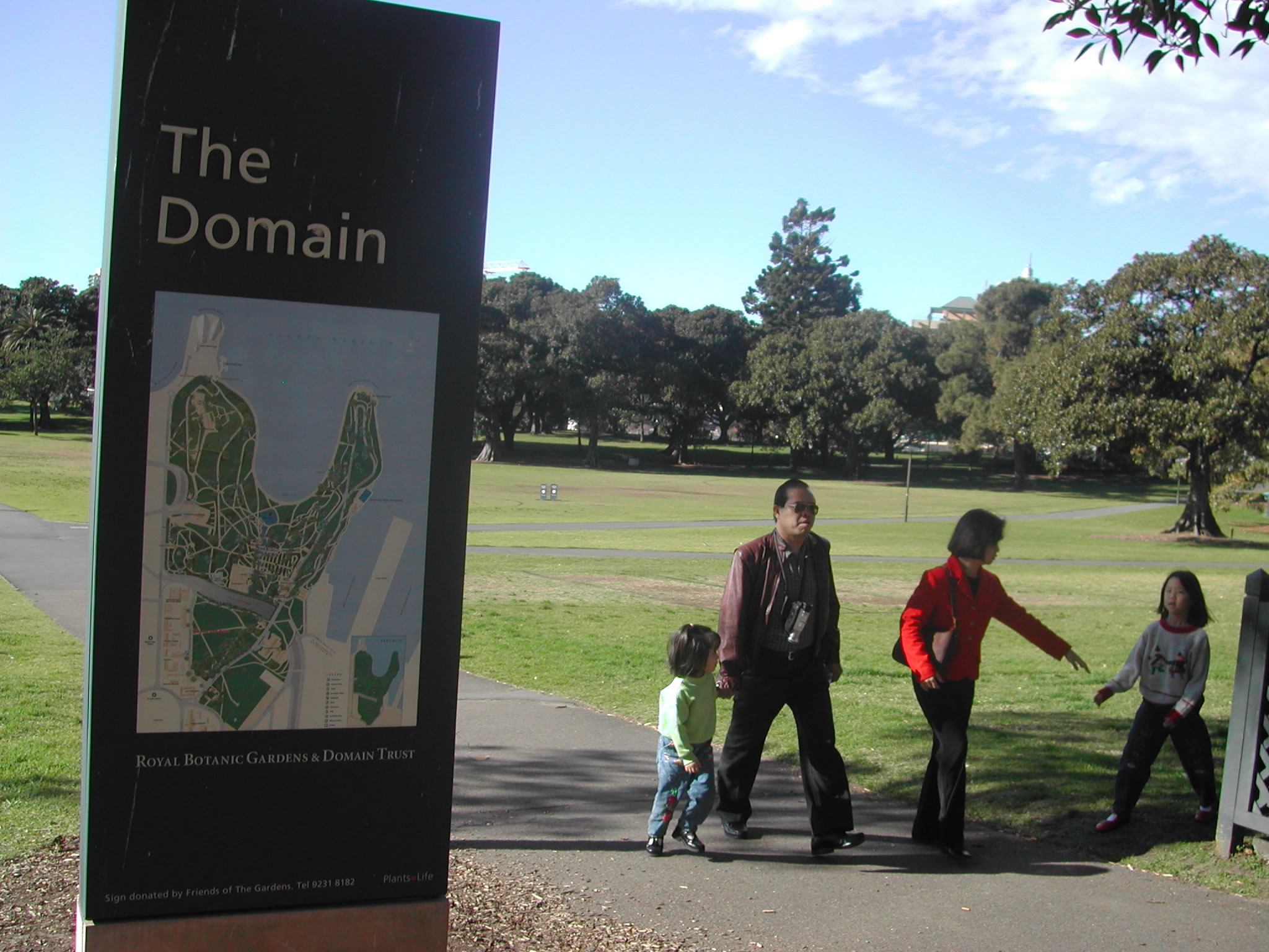
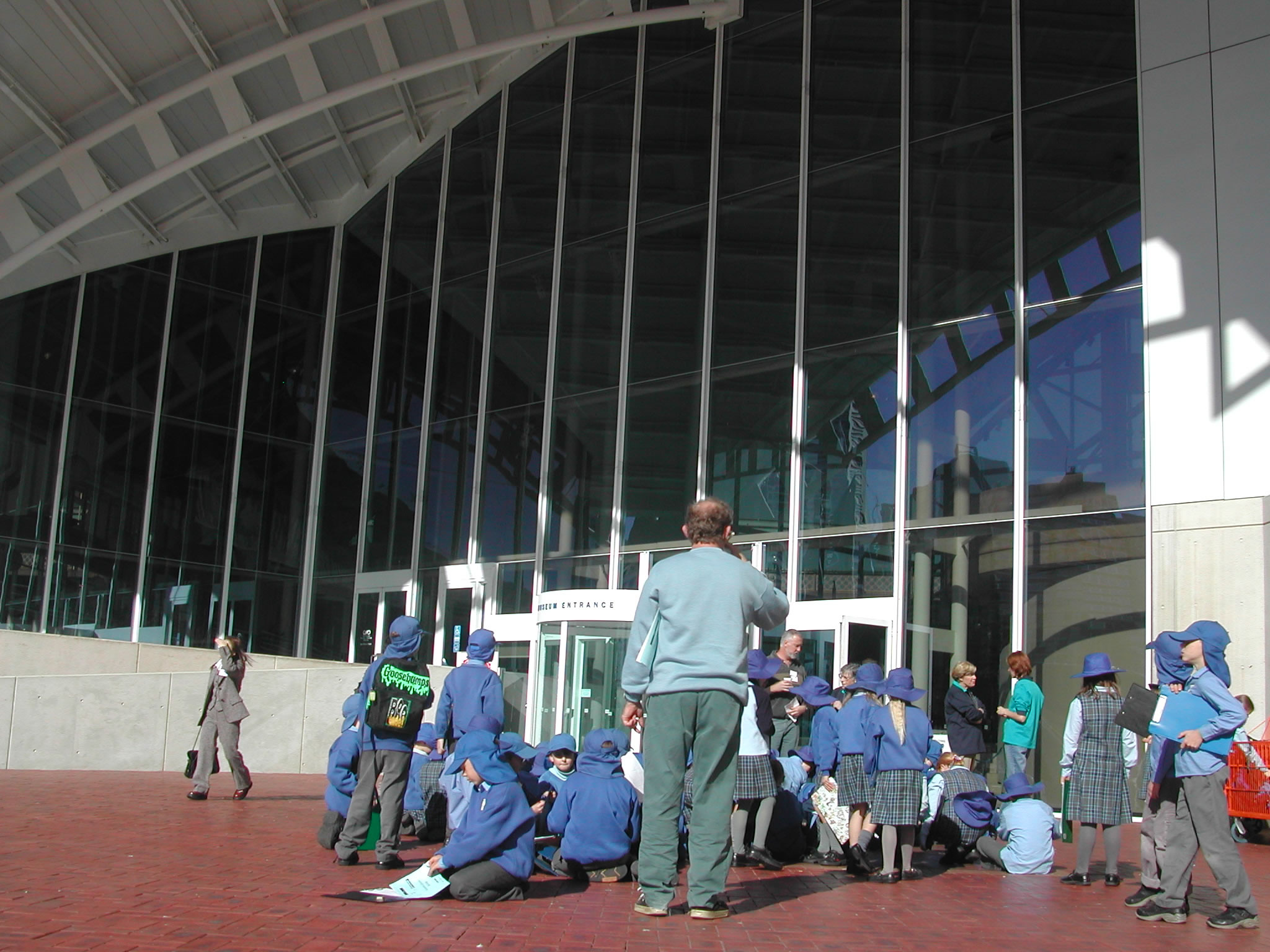
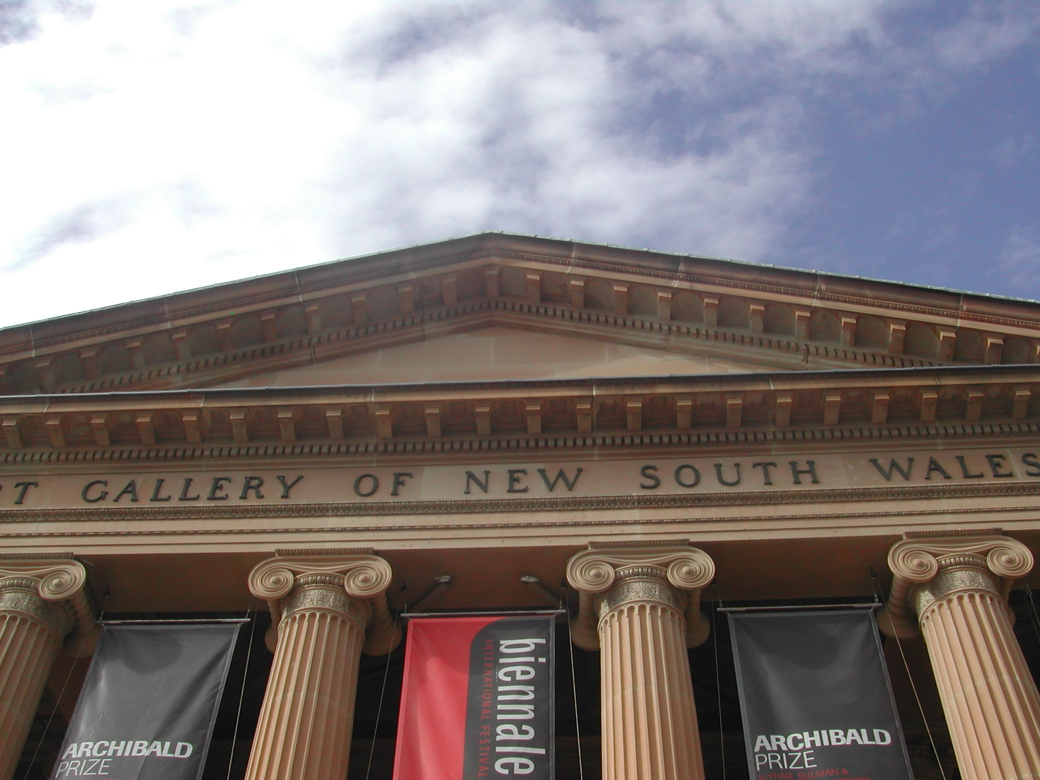
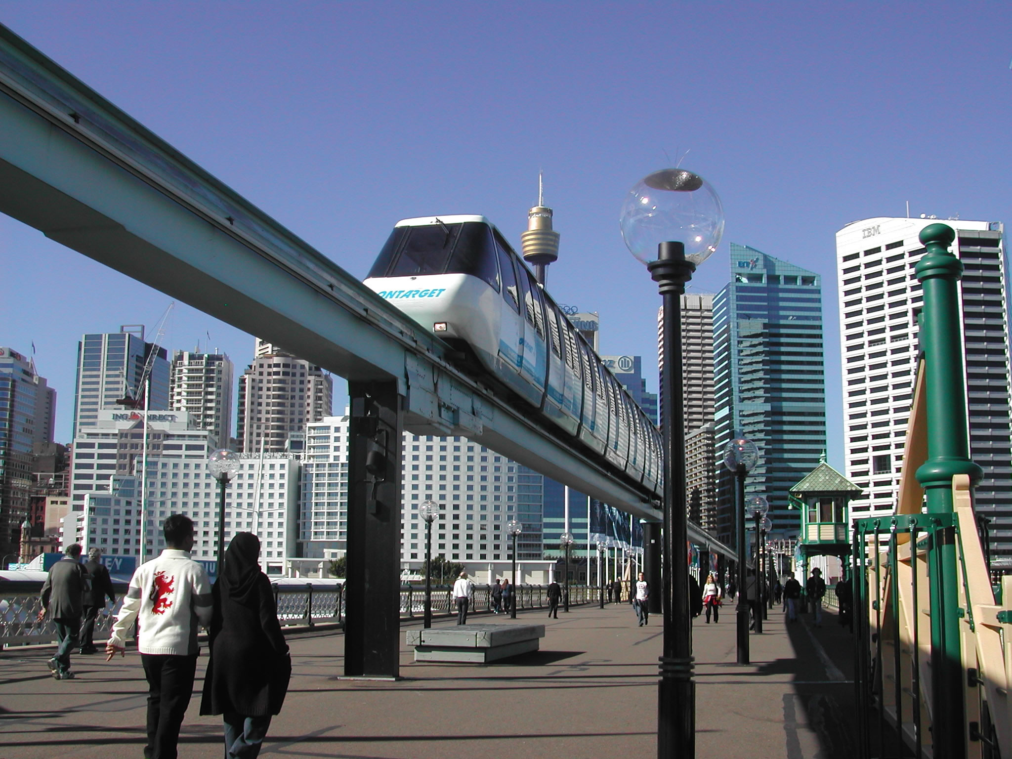
The Australian trip took students to the country’s two largest cities, Sydney and Melbourne, and their surrounding areas for comprehensive field studies of a wide range of geographical issues.

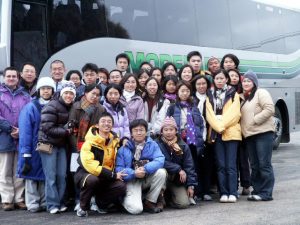
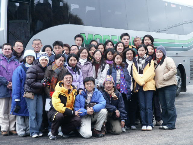
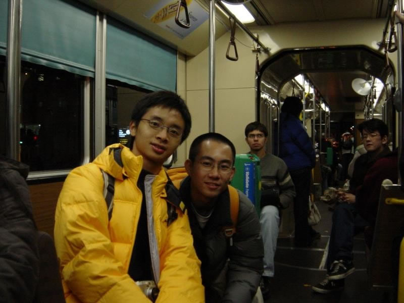
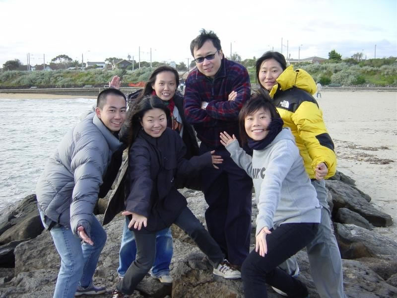
Figure 5: The Australia Study Group


Study Mode

Field trips of the department encourage students to study a variety of topics in Geography. In Australia we had two very different modes of study in the two cities we visited. In Melbourne, thanks to our local host, the School of Anthropology, Geography and Environmental Studies (SABES), University of Melbourne, we attended lectures by local experts and participate in guided tours in the region. Without any local support in Sydney, students were required to carry out exploratory fieldwork in groups; they studied in pre-assigned study topics.

Assessment

This field trip allowed students to fulfill a compulsory course requirement for all major students. Based on performance in pre-trip preparation, participation and presentations during the trip and an individual field trip report, a grade was given to each credit-earning participant.

Research Content

Melbourne was the first stop of the trip from 27th June to 30th June. During this period participants stayed in student hostels at University College.

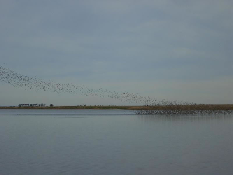
Activities in Melbourne mainly covered the following three themes:

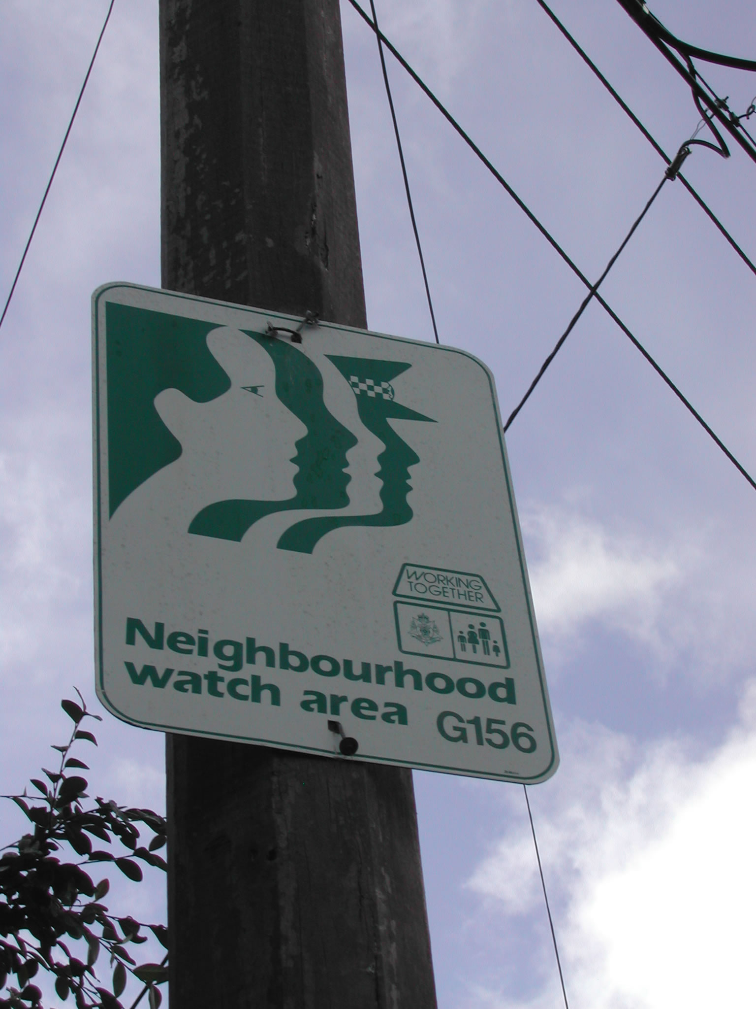
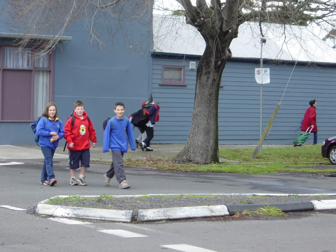
  • Urbanization and suburbanization in Melbourne
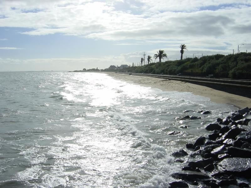
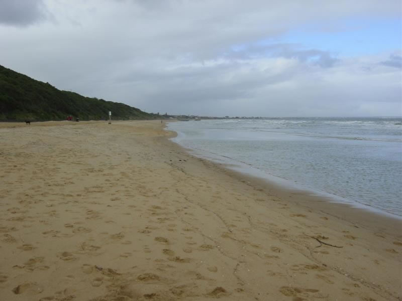
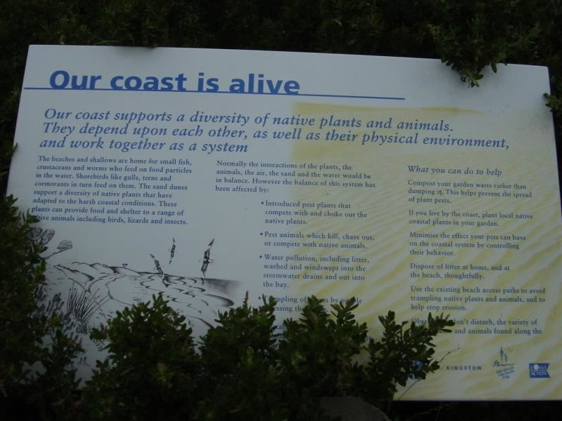
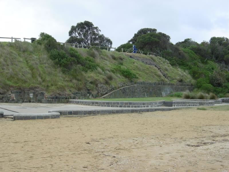
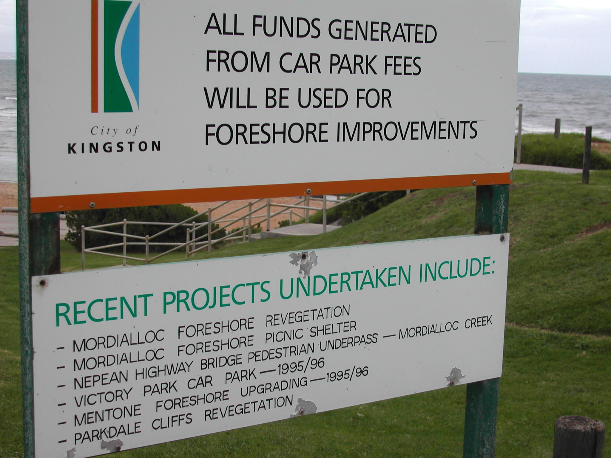
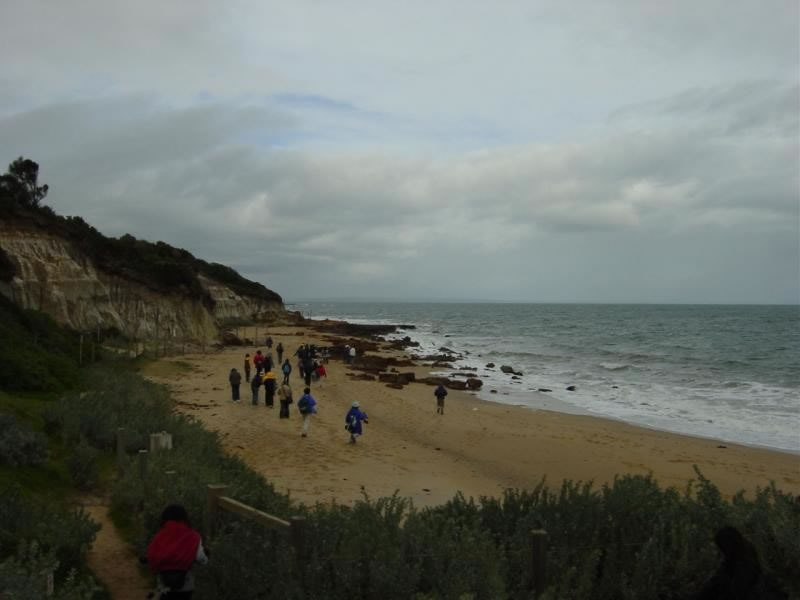
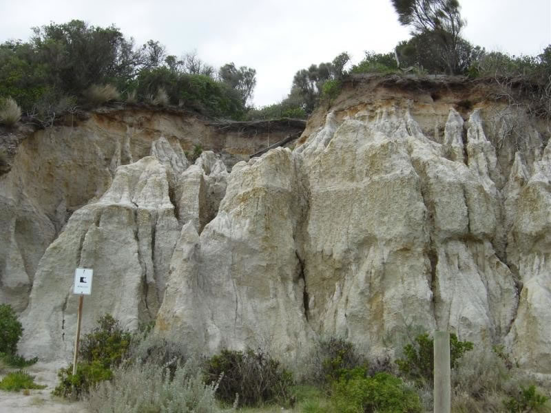
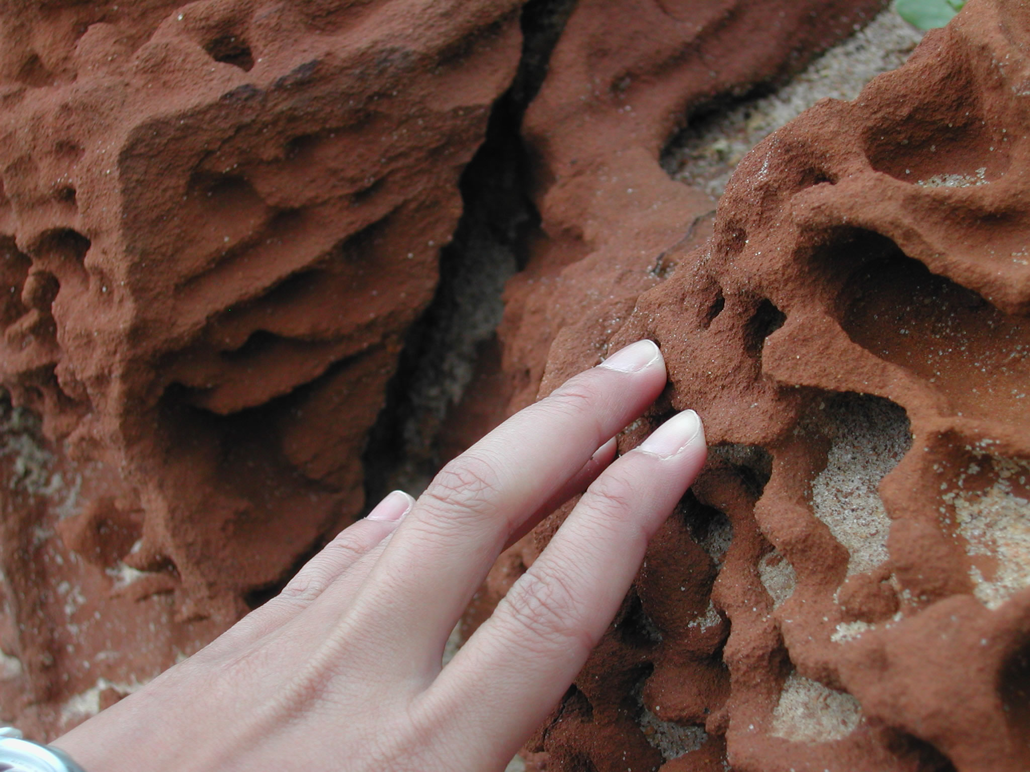
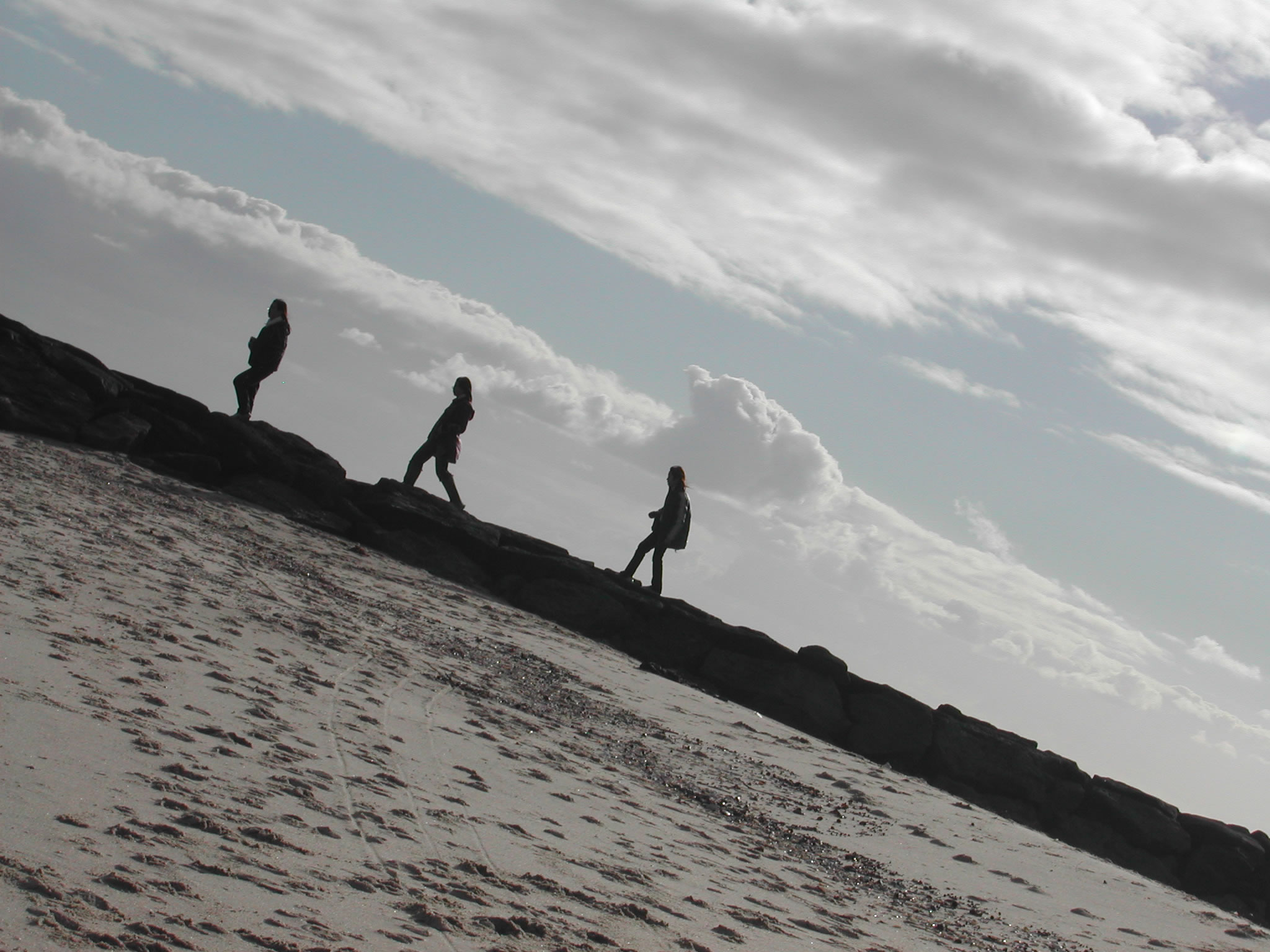
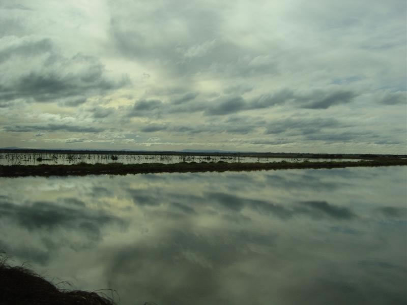
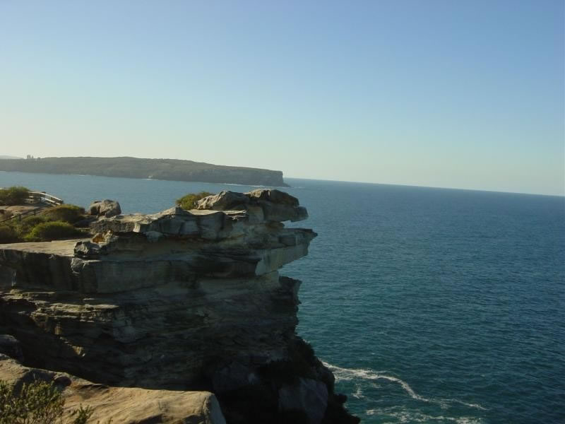
  • Coastal geomorphology and coastal management
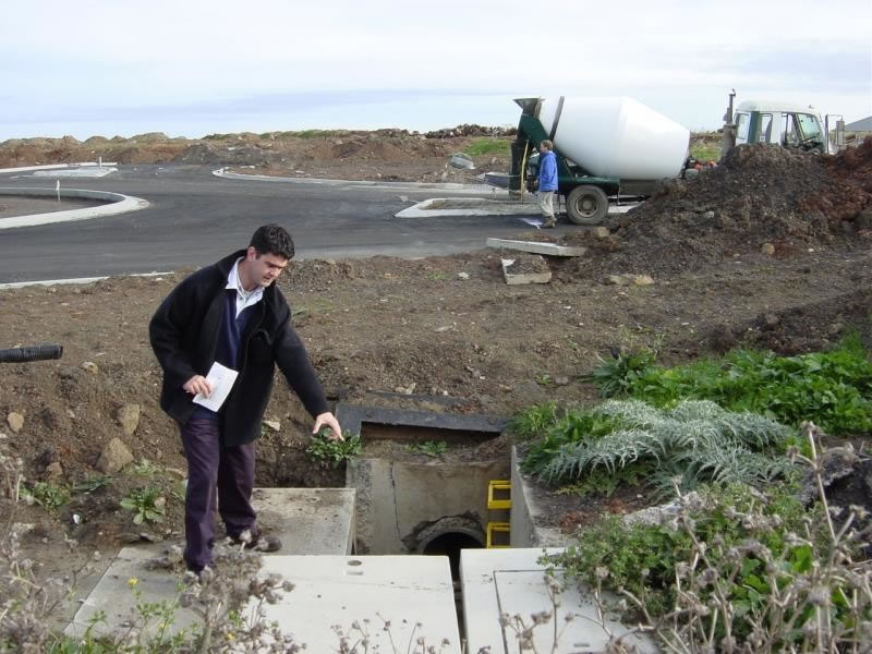
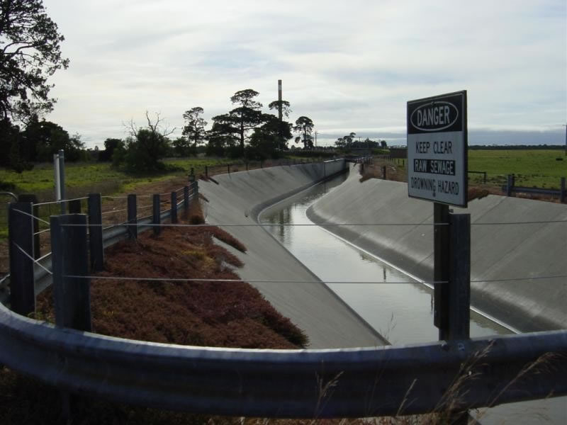
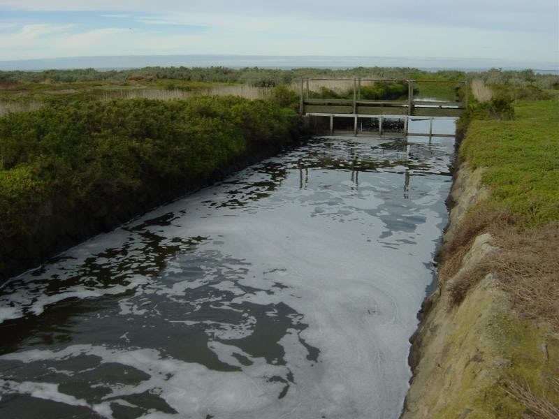
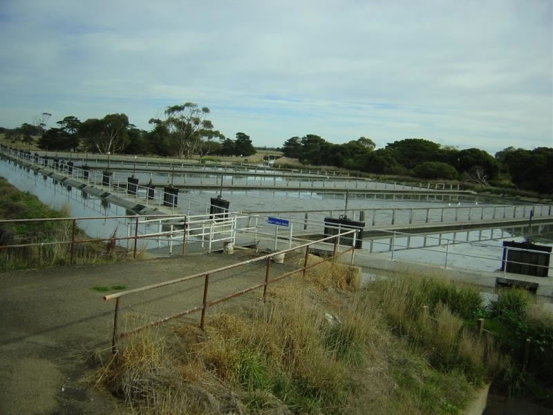
  • Urban waterway management and wastewater treatment in Melbourne

Two lectures in Department Anthropology, Geography and Environmental Studies (SABES), of University of Melbourne
Self-paced city tour
Rialto Tower
Visits to suburbs and local families

Two lectures in the Department of Anthropology, Geography and Environmental Studies (SABES), of University of Melbourne

On the first day of visit, colleagues of the department gave two lectures on the following topics:

Natural History of the Melbourne region
History of Melbourne as a Settlement
The lectures gave students an opportunity to learn about the natural history and geography of Melbourne, as well as how it developed. Students also visited the facilities of the department and the university. Colleagues and students of the department entertained all participants, which was highly amusing.

Self-paced city tour

Students were given the chance to explore the downtown area of Melbourne, including walking around the streets and taking the public transport. In Melbourne, one of the most popular means of transport is the City Tram. During the visit, students could easily see European influences on street scene.

Rialto Tower

Rialto Tower is the tallest reinforced concrete structure in the southern hemisphere, which is a linked, two tower development. The building comprises 55 floors in the South Tower and 40 in the North Tower, and there are five levels of underground car parking, an observation deck and a rooftop communication centre.
Rialto Tower is a member of the elite World Federation of Great Towers. The Rialto Tower Observation Deck is located on Level 55. It has access through an exclusive entrance, and it provides a venue to entertain interstate and international visitors either in a function room or on a more casual basis in the cafe/bar.

http://www.rialto.com.au/index.html


Visits to suburbs and local families

Guided by postgraduate students of our host, participants split into 3 groups and visited the hometown of the postgraduate students.
In the visits the characteristics of the suburbs and the process of suburbanization were study topics. Students compared the life styles in the suburbs and the city center and met local people of the places visited.

 
Trip to Port Philip Bay and Mornington Peninsula
 
Trip to Port Philip Bay and Mornington Peninsula
 
Mornington Peninsula is the most popular informal recreational area in Victoria. The Shire is a boot-shaped promontory separating two contrasting bays: the Port Phillip and Western Port Bays. Mornington Peninsula contains a diversity of scenic landscapes and is almost surrounded by the sea, with coastal boundaries of over 190 kilometres.
 
 
Guided by Dr. Stephenson, the study group visited Port Philip Bay to see coastal features of both natural and artificial beaches. The group also studied management methods and maintenance practices.
 
On the artificial beach visited, students observed a high degree of maintenance. The area had educational facilities such as information boards. In addition, the fees collected from a car park built near the beach contribute to foreshore improvement, including mordialloc foreshore revegetation and seawall construction. In addition, there are special rules for dogs on the beach.
   
 
The purpose of visiting the natural beach was to see its erosional features. The cliffs were highly eroded so that special features were created; unconsolidated rock features could be easily found. Therefore, authorities made special protection to prevent rock collapse.
 
 
The group also visited a breakwater in Port Philip Bay; students could see how its construction minimizes the effects of wave energy.
 
Visiting Melbourne Water
 
To see the water management in Melbourne, the group took a visit to Melbourne Water; staff of Melbourne Water explained the works of the company in detail. Melbourne Water is owned by the Victorian Government and plays a major role in the total water cycle. Their works include protecting water catchments, water supply, removing storm water pollution, improving waterways for storm water, treating sewage and industrial waste and supplying recycled water.
 
 
Urban waterway management
Werribee wastewater treatment plant and sewage disposal system
 
Urban waterway management
 
During the trip, staff of Melbourne Water guided participants to see pipes and waterways, and explained the management of the waterways, include waterway diverters, stream frontage management and steam flow management.


Werribee wastewater treatment plant and sewage disposal system
 
The second stop for the group was the Werribee wastewater treatment plant. In this treatment plant, wetlands are specifically constructed to remove pollutants from stormwater run-off. By using wetlands, nutrients such as nitrogen and other pollutants can be filtered, suspended solids can be also removed by sedimentation ponds constructed at wetland inlet points.


Besides acting as a natural filter, the wetlands at the Western Treatment Plant at Werribee also attract an amazing array of wildlife. The wetlands are declared a Wetland of International Importance under the Ramsar Convention, and they can house an estimated 65,000 birds at any one time.

Sydney is a very different place compared with Melbourne. To get to know the city, participants visited the following places as a group on the first day in Sydney:

South Head (Sydney Harbour National Park)
Opera House
The Rocks and the Circular Quay
Town Hall (Sydney Square)
Darling Harbour

South Head (Sydney Harbour National Park)

Sydney Harbour National Park protects various islands and foreshore areas around one of the world’s most famous harbours. It contains rare pockets of the bushland, which was once common around Sydney, and in these remnants a surprising range of native animals live in the park.

Beyond the scenery, there’s a lot of history, mystery and cultural heritage, for example, buildings constructed with convict labour, historic maritime and military installations, and the Quarantine Station, which used to protect Sydneysiders from infectious diseases.

http://www.nationalparks.nsw.gov.au/npws.nsf/Content/Home

Opera House

As one of the most beautiful building in the world, the Opera House has become the icon of modern Sydney. It is Australia’s premier cultural center for opera, ballet, theatre and music and houses four theatres and several find restaurants. In fact, no building on earth looks like the Sydney Opera House.

The Rocks and the Circular Quay

Sydney was first settled by the British as a penal colony on 1788 when 400 settlers and 750 convicts arrived on the First Fleect of 11 ships. Circular Quay is referred to as the “birth place of Australia.” It was here that the first fleet landed its human freight of convicts, soldiers and officials, and the new British colony of New South Wales was declared.

Town Hall (Sydney Square)

The Sydney Town Hall is one of Sydney’s best loved icons. For more than a century it has been the city’s major public and civic building. Its clock is a popular landmark, and the marble steps leading up to the entrance are one of Sydney’s favourite meeting places.

The Town Hall is the seat of the city government and the venue for meetings of the City of Sydney Council. Built in the grand Victorian manner from local sandstone, the building has been beautifully restored to its original form.

The Sydney Town Hall is an impressive centre for civic and cultural events and its state-of-the-art facilities make it one of Sydney’s most exciting venues.

http://www.cityofsydney.nsw.gov.au/cs_sydney_town_hall.asp

Darling Harbour

Darling Harbour houses Sydney’s Convention and Exhibition Centre as well as several major tourist attractions, shops, restaurants and cafes. Major attractions include the spectacular Sydney Aquarium, the Imax Theatre and the Chinese Gardens.
Darling Harbour was NSW’s Bicentennial gift to itself. This imaginative urban redevelopment covers a 54-ha site that was once a busy industrial center and international shipping terminal catering for development of the wool, grain, timber and coal trades.

Students studied the driving force and changes that have taken place to make Sydney a World City. To understand the urban transformation process, students were divided into four groups to focus respectively on:
 
Central Business District of Sydney
Urban Regeneration
Chinatown
Urban Ghetto
 
Central Business District of Sydney: Driving forces and characteristics that changed Sydney from a “Colonial City” to a “World City”.
 
Sydney has a well developed CBD. It is the regional headquarters to more than 275 global corporations operating in the Asia Pacific region. In terms of existing office stock, Sydney ranks among top 15 world cities. There are five universities within the Sydney Metropolitan area.


Urban Regeneration: Land use changes and planning/ design efforts to revitalize old industrial areas
 
Sydney has a history of two centuries; it was a port with many wharf activities concentrated at the waterfront. As a result of the development of the freight transport, many of the wharfs and warehouses along the waterfront are no longer needed. Some of these facilities have been demolished, but many warehouses have remained and are now converted for other uses.


Chinatown: Study of an enclave in the city core that reflects the multi-ethnicity of this World City
 
Sydney has a large Chinese community, originally made up of Cantonese speakers from southern China who started arriving in the 1850s. With recent arrivals from Hong Kong, Malaysia, Singapore and Mainland China, Sydney’s Chinatown is a bustling enclave of restaurants, shops and supermarkets on the southern edge of the city area.
 
 
Urban Ghetto: Characters and changes in the poorest part of the city, which is just adjacent to the city center
 
Not far away from the city centre is Redfern, which is an urban ghetto, a sharp contrast to the glamorous Sydney CBD just 2km away. An urban ghetto is a residential district occupied almost exclusively by one ethnic or cultural group or social class.
The four groups investigated different public utilities and facilities:
 
Urban Parks
Public Places, Squares and Museums
Convention and Exhibition Center
The Pedestrian Environment
 
Urban Parks
 
Sydney boasts of having a hierarchy of large and small urban parks within and nearby the city centre. Students made observations and highlighted those design and management measures that enhance urban liveability, or from which Hong Kong can learn.


Public Places, Squares and Museums
 
In the early 1900s, a report was produced by the Royal Commission on the need to develop and beautify Sydney. It was accepted that aesthetic improvements were fundamental to the dignity and future prosperity of Sydney. Sydney’s network of public places, squares and museum provides not only outdoor seating areas for the urban dwellers and office workers but also enriches their cultural life.
 
 
Convention and Exhibition Center
 
Sydney has a Convention and Exhibition Centre in Darling Harbour. Students walked through Darling Harbour and investigated the functions of the Convention and Exhibition Centre.
 
 
The Pedestrian Environment
 
In recent years, the concept of urban design has changed, and many features have been incorporated to create an environment for pedestrians. Students identified those features that help create a congenial environment for pedestrians and move them around in a people-friendly manner.

Sydney is the fastest growing city in Australia. To accommodate the increase in population, the spatial extent of Sydney keeps on increasing, resulting in more and more suburbs.

The network of highways and railways, as well as the land value and living conditions in the city center determines the location and pattern of suburbanization. These suburban areas are characterized by the daily commuting by residents to the CBD and other urban areas for work. For this part, students visited four suburbs and suburban settlements:

Eastwood: suburb on the rail network with a concentration of ethnic groups
Hornsby: middle class agglomeration served by rail and highway
Mt. Druitt: a relatively new, self-sufficient suburb on the railway far from the Sydney City Center
Manly: Affluent suburb on the seaside, served by public bus and ferry